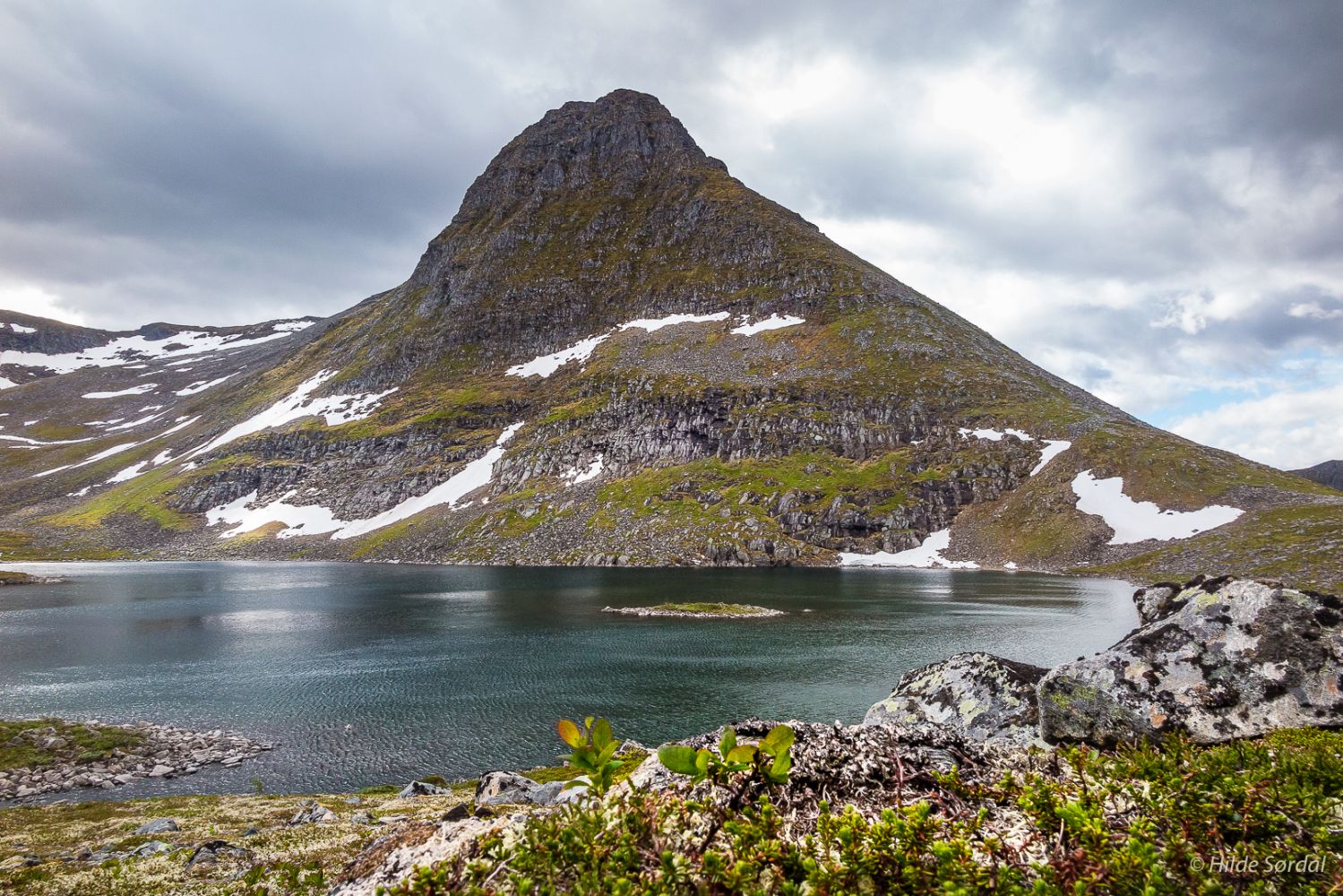
Steingardsheia is a unique mountain area with some features of a rock ledge. Lake Steingardsvatnet lies just north of the mountain foot of Høgsvora and is partially bordered by a large moraine or a “stone fence” (Nor. “steingard”), which is where the name of the area came from. The snow can remain here for a long time. The lake is a great starting point for many hiking trails in various directions. There are many small lakes as you walk further into the mountain area. The trail offers many great outdoor opportunities to explore. A summer night by Lake Steingardsvatnet, for instance, would definitely be an unforgettable experience.
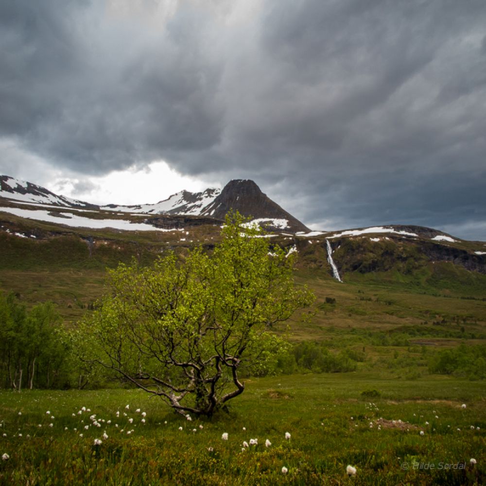
The starting point of this trail is Stortrøna in the Landedalen Valley. You can either walk from there or drive along the toll road to the bridge in the Kvanndalen Valley. Most people drive straight to the bridge. Follow the gravel road until you reach Kvanndalsetra. You will see another sign for Lake Steingardsvatnet here. The Steingardsheia area will now be right in front of you. Follow the sticks that mark the trail further down over the marsh, then over a bridge and up to Steingardsheia. The path climbs quite steeply up the ridge through the areas of pine and birch forest. It then continues over a bare mountain area and through an area of low mountain birch trees. Walk in the direction of Mount Høgsvora and aim for a gully and a clear “shelf” in the terrain. Continue walking south towards the foot of Mount Høgsvora. You will soon see a “stone fence” that limits the northwestern side of the lake. Lake Steingardsvatnet and the trail postbox are to be found here on the top. You can also start this hike from Haugsetra on Mount Ørskogfjellet, please see the book “På tur i Ørskog” (Eng. “Hiking in Ørskog”).
Turn off from E39 near Stortrøna in Landedalen 5.4 km north of Sjøholt. There is a large car park on the southeastern side of the road. You will see trail signs for Kvanndalsætra, Giskemonibba, Steingardsvatnet, and Postvegen here.
Park your car along E39 near Stortrøna in Landedalen 5.4 km north of Sjøholt. Pay a toll fee.
Duration
3 t. 25 min.

Signage
Both signed and marked
| Surface type |
Distance |
| Grus |
2 |
| Sti |
7 |
Timeekspressen bus service passes by the area every hour in both directions.
The snow can remain on some parts of the path until almost the end of June.
 Driving directions
 Route data
GeoJSON
Route data
GeoJSON