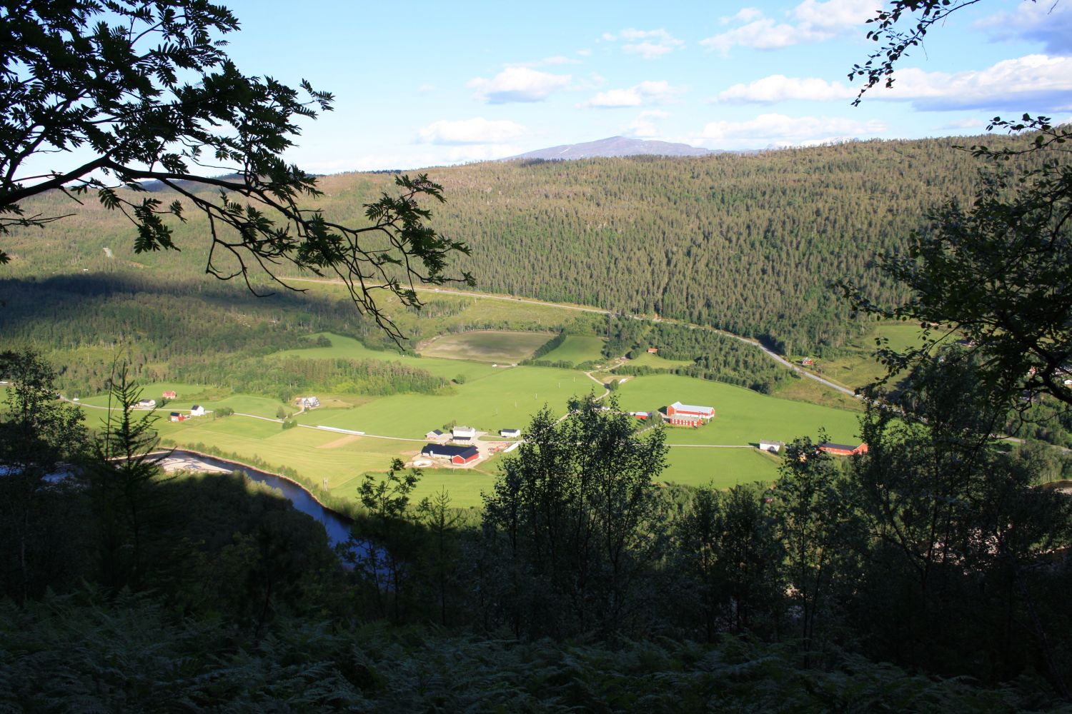
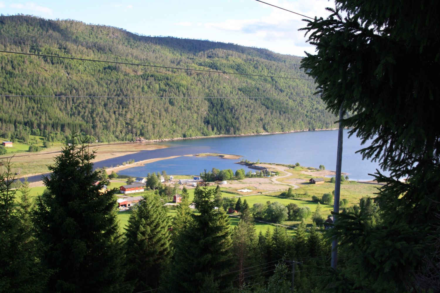
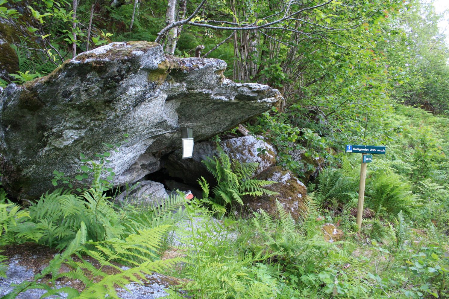
Solligjerdet lies on the hill above the Bøfjorden and Bæverfjord educational centre, and the hike there is steep but fairly short. The place was inhabited in the 1600s and if you look carefully, you can still see traces of the buildings which used to stand here.
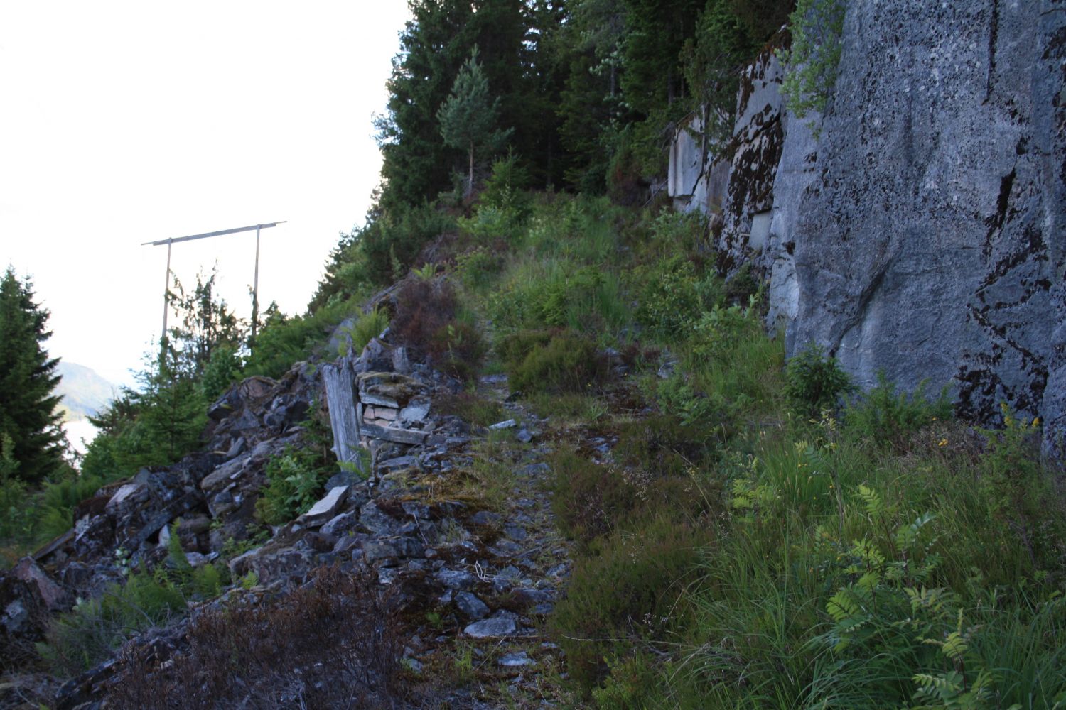
Drive from Bøverfjorden along the Bøverdalen Valley. A couple of hundred metres after passing the Bøfjorden and Bæverfjord educational centre, you will see a stone quarry on the upper side of the road. Follow the forest road as it takes you up the hill from here. You will soon reach a traditional gapahuk shelter built used by the pupils of the local school. The road forks after a couple of hundred metres. Turn left and walk up the hill in the direction of the fjord. You will soon reach a coniferous plantation. Take the turn up to the right when the road forks again. Follow the forest road until it ends. From there, walk straight up for a couple of metres until you see the path that takes you up towards Solligjerdet.
Park your car next to the Bøfjorden and Bæverfjord educational centre or the stone quarry. Avoid parking at the stone quarry when the works are in progress.
Duration
1 t. 20 min.

Sesong
Spring, Summer, Autumn
Signage
Both signed and marked
| Surface type |
Distance |
| Sti |
1,5 |
The path is marked and signposted. There are wood ticks in the area so make sure to inspect your body for ticks before taking a shower after the hike.
Although several bus routes run past the centre of Bæverfjord, it might be difficult to use public transport for this hike because of the long waiting times between departures.
 Driving directions
 Route data
GeoJSON
Route data
GeoJSON