Snota from Vinddøldalen
Surnadal
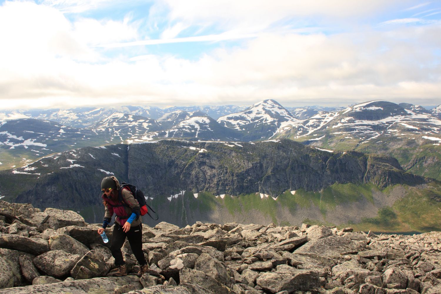
Snota is one of the most spectacular peaks in the Trollheimen mountain range. With its 1668 metres above sea level, Snota is the highest mountain in the Folldalen and Vinddøldalen valleys. The peak is accessible from the cabin Trollheimshytta or Gråhaugen, which are the most popular routes, but the trail from the Vinddøldalen Valley is a nice opportunity to combine hiking with cycling.
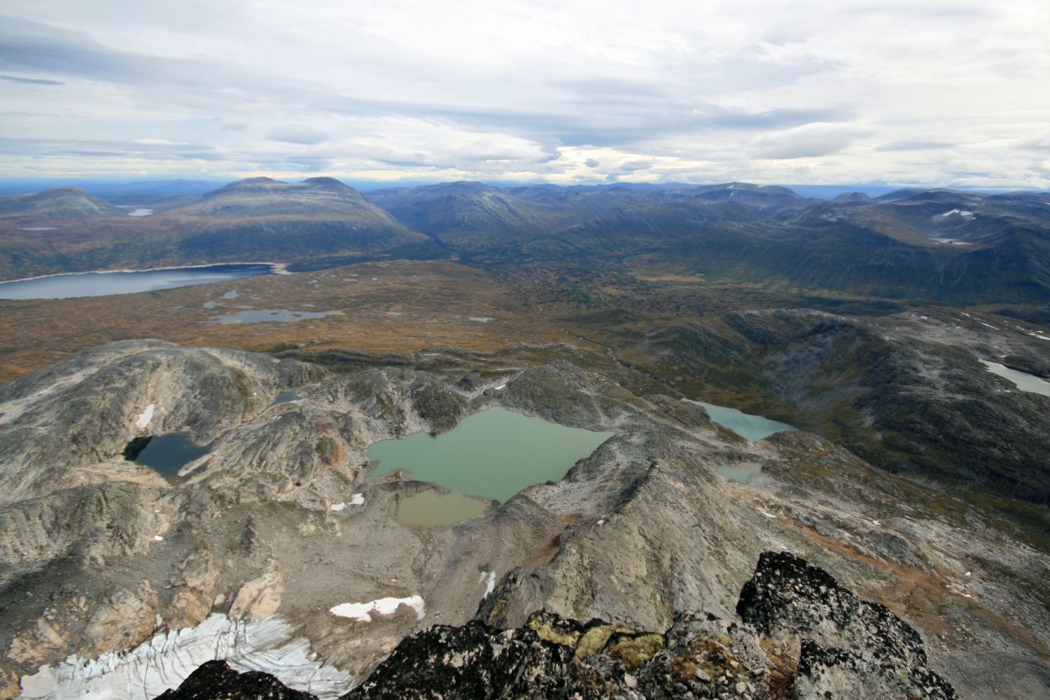
From the Pebua car park, you can cycle for over 7 km along the road that runs in the direction of Lake Vassdalsvatnet. Park your bicycle at the end of the gravel road and walk up the tractor road until you reach the lake. Once you reach the fitness trail post, walk east up the steep hillside. There are sections where you will follow a path as you walk up. After this climb, continue walking in the direction of the peak Litjsnota. Walk west of this peak and down to the marked path that runs from Gråhaugen and shows the way up. For a longer return route, you can walk past Lake Snotvatnet, around the southern side of Mount Snota, and down to Lake Vassdalsvatnet.
Drive along RV65 between Surnadal and Rindal municipalities. About 9 km east of Skei in Surnadal Municipality, you will see a sign for Vindøldalen. Follow the toll road for about 11 km until you reach the car park by Pebua.