Snøfjellet (Kvenndalen)
Surnadal
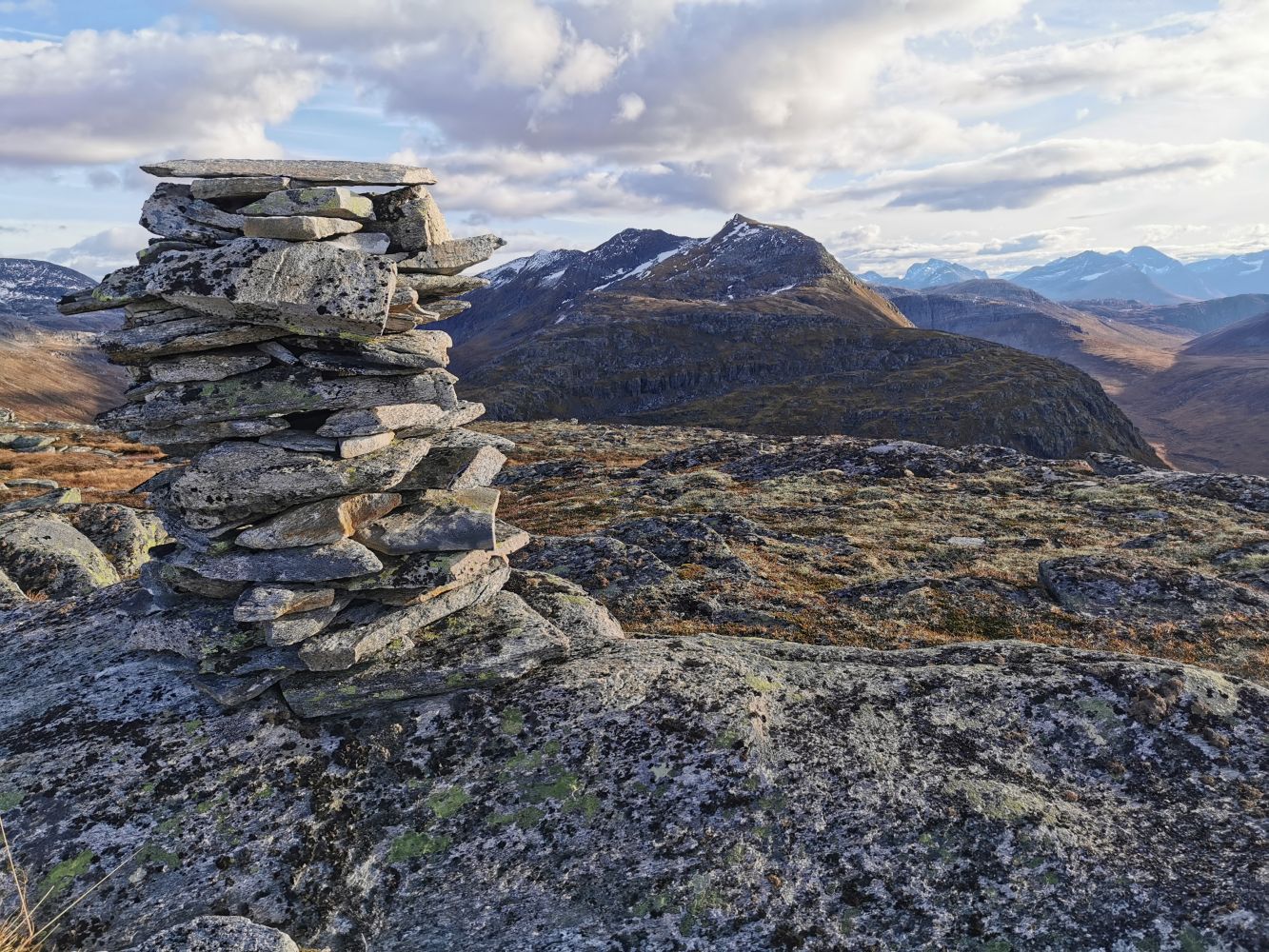
Mount Snøfjellet (1009 m a.s.l.) in the Kvenndalen offers a fairly short summit hike with a magnificent view over the mountains of Trollheimen.
After parking your car, walk around the boom gate and follow the road. After about 1.5 km along that road, you will walk across the bridge over the Tverråa River. From there, you will soon reach a car park with a cabin right above it. Turn off the road and take the path that will lead you up to the mountaintop.
Drive for about 6 km from Skei in Surnadal Municipality in the direction of Kvanne. Turn off onto a hairpin bend on the left side of the road and drive down to the plain towards Kvennbøen. Drive straight ahead. After you have passed the bridge over the river, you will reach the farms in Kvennbøen. Turn left at the first building and drive over another bridge. Then drive up the toll road that starts here. Continue driving into the valley until you reach the next boom gate. The trail to Snøfjellet is signposted from here. Park your car at the lower side of the road. Make sure you keep a distance from the road to leave room for passing traffic.
Duration
4 t. 5 min

Signage
Both signed and marked
| Surface type |
Distance |
| Grus |
3,2 |
| Sti |
5,71 |
Kvenndalsvegen is a toll road.
 Driving directions
 Route data
GeoJSON
Route data
GeoJSON