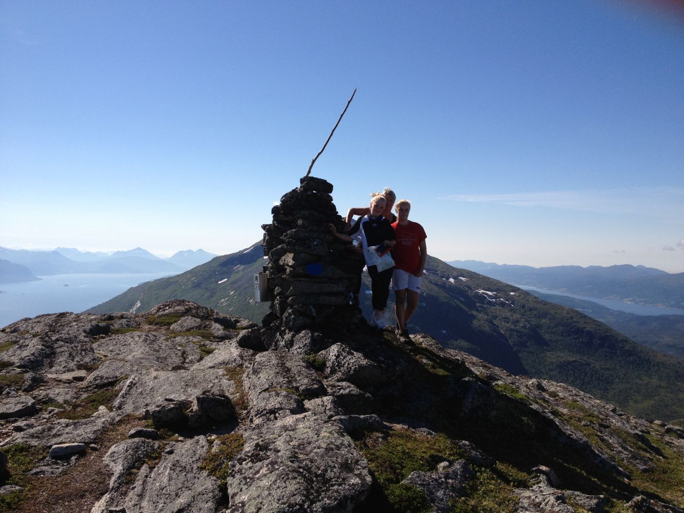
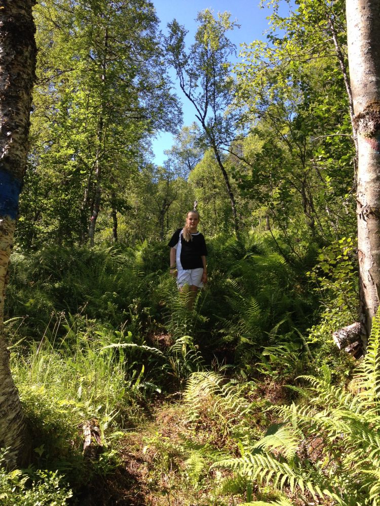
The trail covers diverse types of terrain, including an area of lush vegetation after Ranviksetra. There are some wet and partly slippery sections. Once you are above the tree line, you will get a fantastic view towards the mountains Romsdalsfjella and Sunndalsfjella. This trail is a long one, but it is easy to follow the hillside up towards the trail destination. You will be surrounded by beautiful views of mountain lakes, and you can drink the water from the streams you cross along the way. The “gapahuk” shelter that you pass on your way is built on a volunteer basis by the locals from Ranvik. This mountain shelter is worth paying a visit. There is a nice area outside the “gapahuk” with a great view. It is a perfect place to take a short break before you continue walking further.
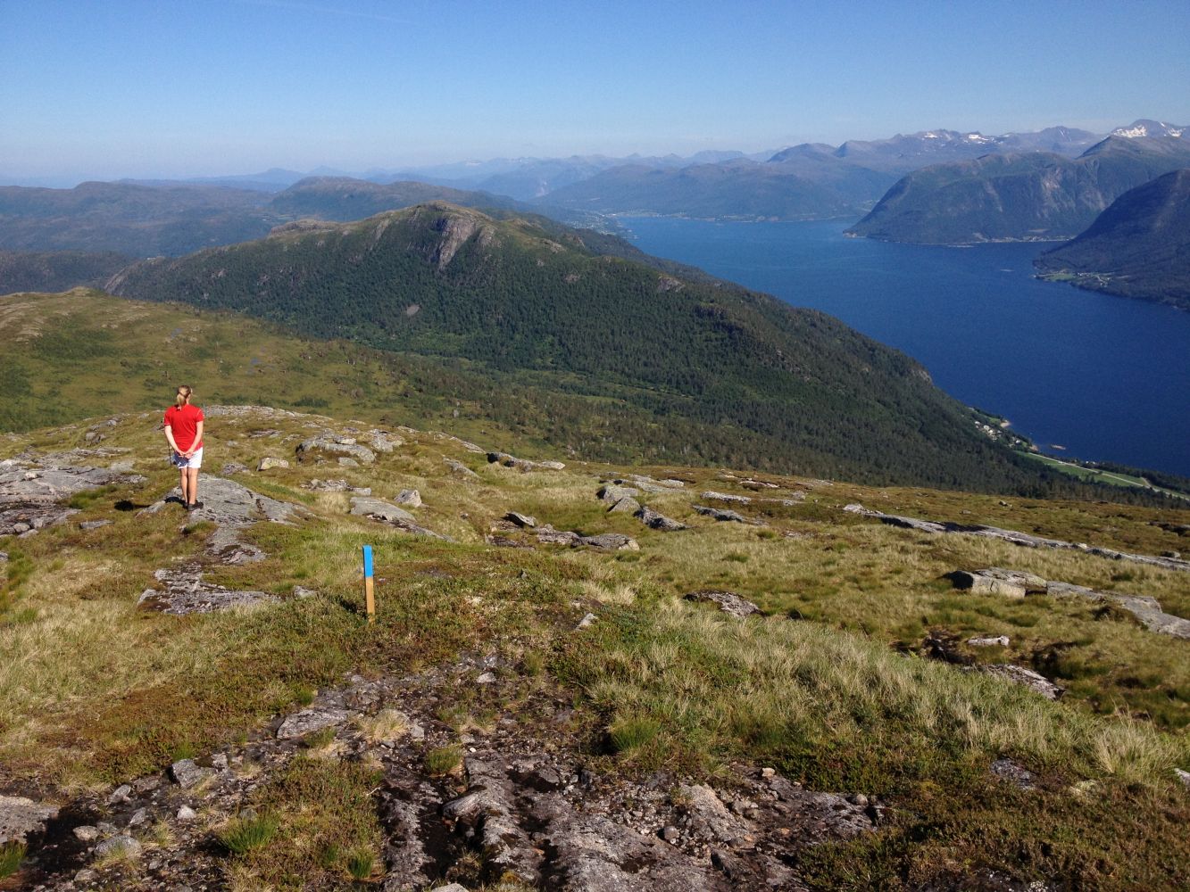
Follow the steep forest road uphill past the “gapahuk” shelter and continue further in. Turn off the forest road at the sign for Snøfjellet and walk past the Ranvikasetra summer mountain farm with a couple of cabins. The first “checkpoint” on your way to Mount Snøfjellet is Storlia Hill (615 m a.s.l.). The trail that you need to follow is marked with poles that have blue tops.
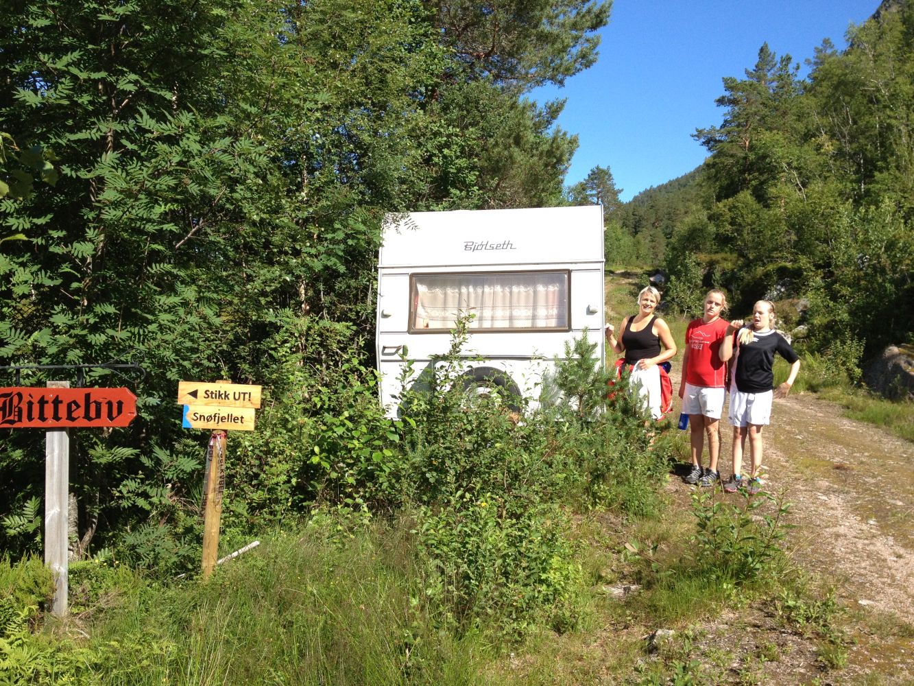
County Road 195 (Fv195) goes through the village of Ranvik where this trail starts. Park your car right by the county road near the sign that reads “Gapahuk” and “Stikk Ut!”
You can park your car near the sign that reads “Gapahuk” and “Stikk Ut!” in Ranvik. Free parking.