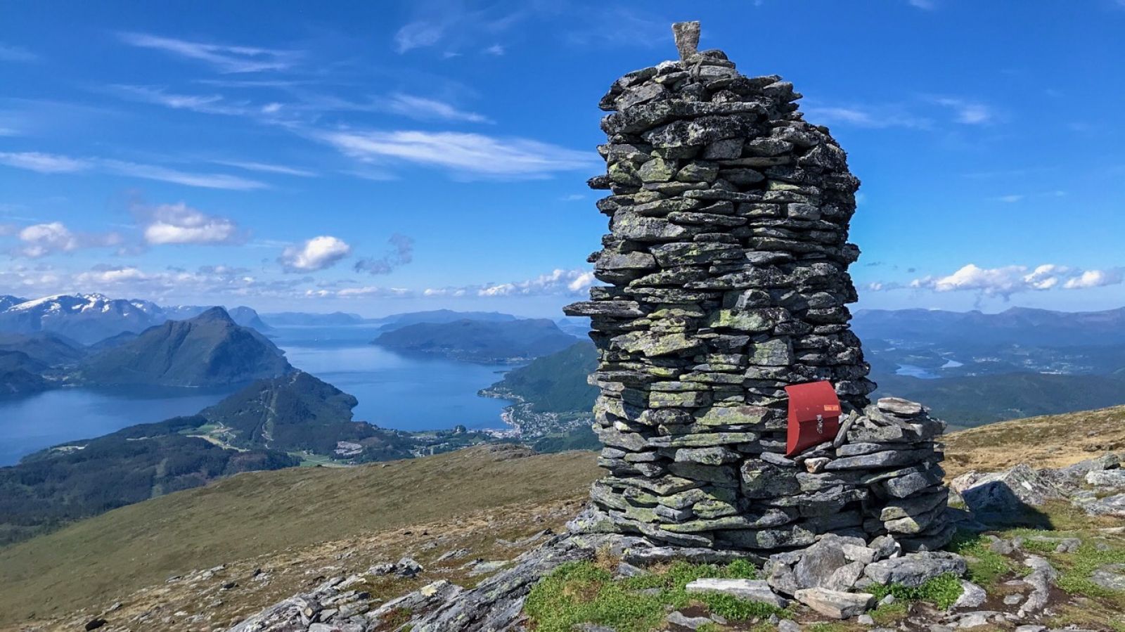
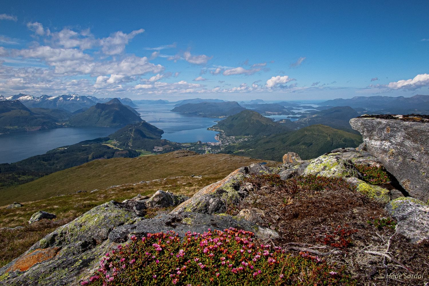
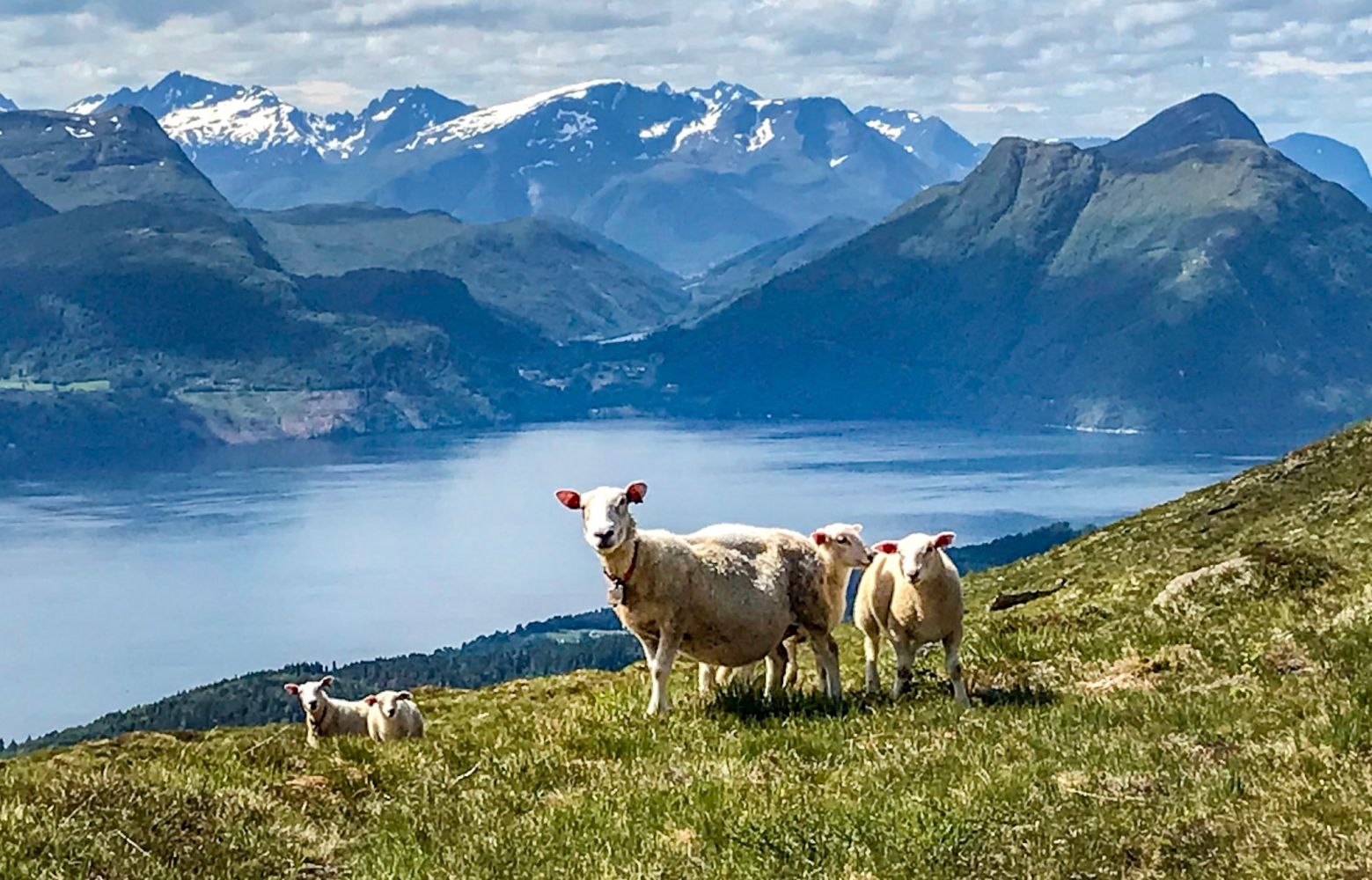
This trail has a length of about 11 km round trip and a medium level of difficulty. It starts in Giskemosaga and involves quite a lot of climbing from the height of about 90 m to the mountain top at about 900 m above sea level. Follow the waymarks to Lisetsetra and Snaufjellet. From Lisetsetra, you will follow a marked path through an open and nice hiking terrain. Mount Snaufjellet is also a beautiful skiing destination. The snow can remain in the area above the snow line until the beginning of May. Just south of the highest plateau, you will find an impressive stone cairn. The top of Snaufjellet is flat, but it is steep towards the north. Snow cornices are present here both in winter and spring. Once you are at the top, you will get a great view in the southeastern direction over Vaksvikfjella, Stordalsfjella and the centre of Stranda. You will also see some of the famous mountains in the Hjørundfjorden area and Ålesund with the small islands in the west.
The starting point of the trail is in Giskemosaga right next to the county road over Giskemo, just south of the bridge in Valgermo. Follow the signs for Lisetsetra and Snaufjellet. The trail begins on a tractor road and goes up through a thick spruce forest. It may be difficult to walk over the Øyagrova River in May when the snow melts. The sticks along the path will guide you from Lisetsetra further up to the mountain top. From Lisetsetra, you will walk through open terrain and enjoy a great view. You can choose to go back in the direction of Høgsætra to do a nice loop trail. To do that, walk down the ridge in the direction of Tovardane before turning off towards Høgsetra. From Høgsetra, follow the waymarks back to Giskemosaga. The easiest way to return is to follow the same route back to Lisetsetra and Giskemosaga.
Turn off from County Road 103 (FV103) near Giskemo on the southern side of the bridge over the Ørskogelva River. Follow the road to Giskemosaga and the timber stacking area. You will see a sign for Lisetsætra, Høgsetra and Snaufjellet.
Park your car in Giskemosaga.
Duration
4 t. 45 min.

Sesong
Spring, Summer, Autumn
Signage
Both signed and marked
| Surface type |
Distance |
| Sti |
7 |
Fram Ekspress bus service to Valgermo.
 Driving directions
 Route data
GeoJSON
Route data
GeoJSON