Slette and Brudesløret in Eikesdal
Molde
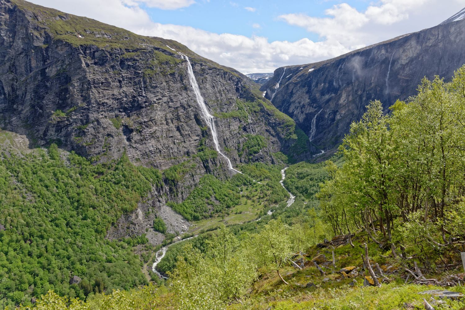
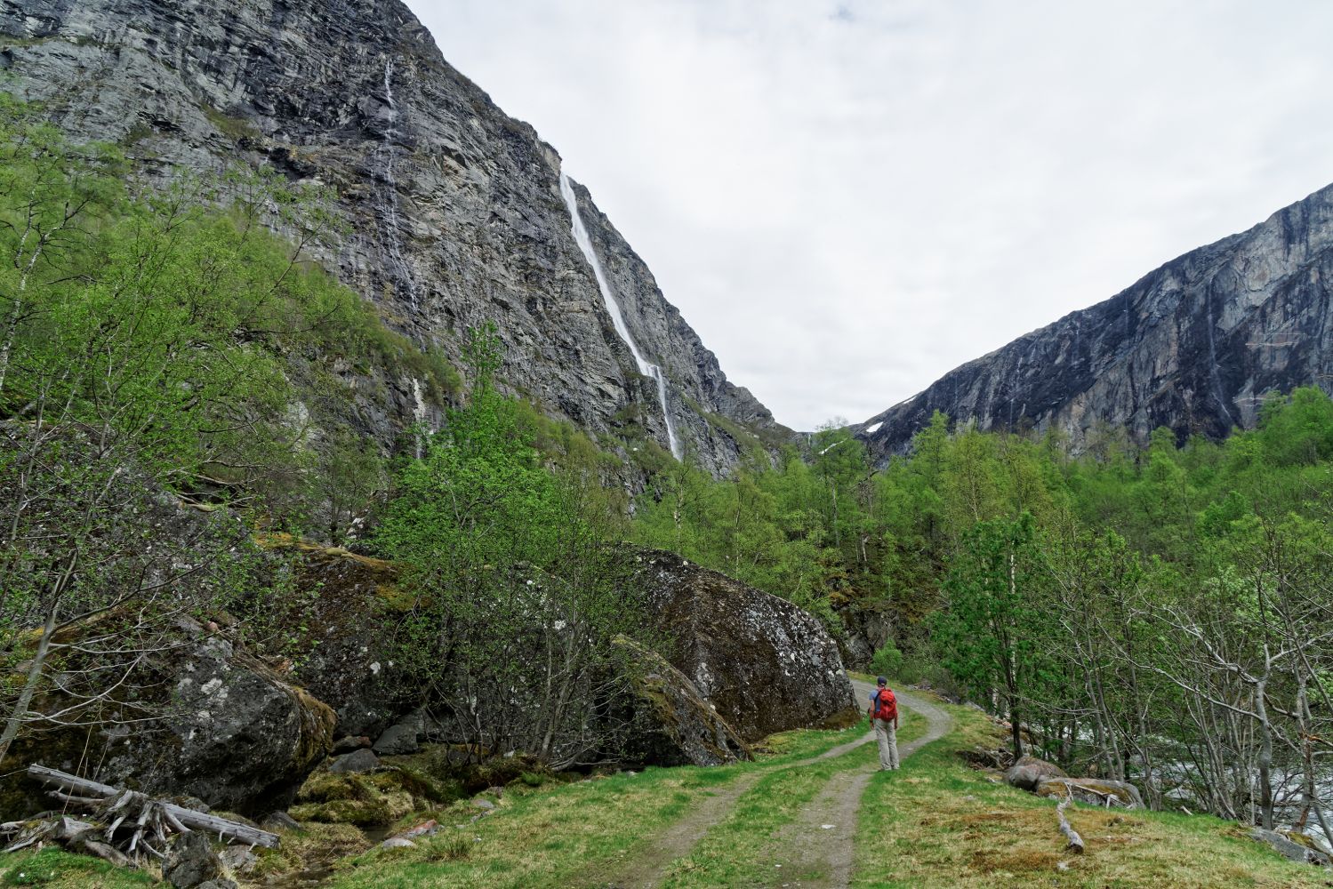
This trail will take you to the furthest point of the Eikesdal valley in Finnset. You can experience a cultural landscape along an idyllic tractor road that goes through a narrow valley surrounded by steep mountains. During spring and early summer you will walk along the babbling river with white roaring waterfalls plunging down the mountains. Brudesløret Waterfall is spectacular. There is a “gapahuk” shelter right below the waterfall.
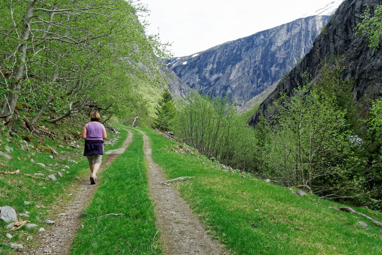
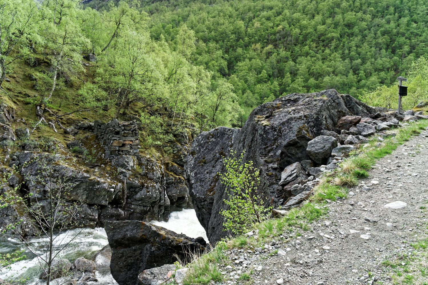
Start walking from Finnset in Eikesdal at the end of County Road 191 (Fv191). From the car park outside of the farmyard, follow the tractor road that goes into the narrow valley. Walk past a residential building on your left-hand side and continue through a gate. Remember to close the gate behind you. Follow the idyllic flat road all the way to Slette and the “gapahuk” shelter below Brudesløret Waterfall. You will come across a few smaller streams along the way. In early spring and summer you can see sheep grazing in the area.The road also runs past some giant boulders which demonstrate the scale of wild natural forces that brought them here. Some of the boulders are very old, others appeared more recently. The last boulders you pass on your way appeared in 2016–2017.You will see a “gapahuk” shelter right below the magnificent Brudesløret Waterfall.You can also ride a bicycle up to Slette.
Follow National Road 660 (Rv660) to Eresfjord. Then drive along Lake Eikesdalsvatnet following County Road 191 (Fv191) to Eikesdal and all the way up to Finnset located furthest in the Eikesdalen valley. Turn left onto the bridge in Finnset and drive past the farmhouses. You will find a car park there.
You can park your car by the farmyard in Finnset.
Duration
1 t. 45 min.

Sesong
Spring, Summer, Autumn
Norge map series 10078 Sunndalsøra
 Driving directions
 Route data
GeoJSON
Route data
GeoJSON