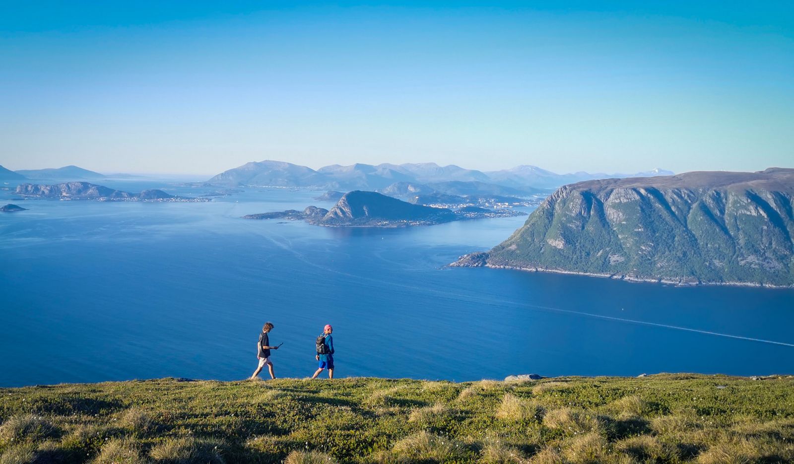
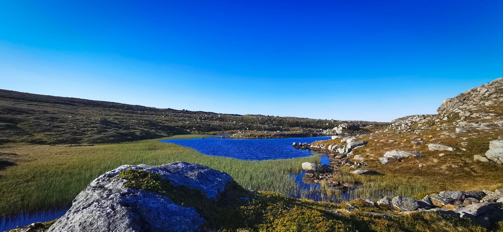
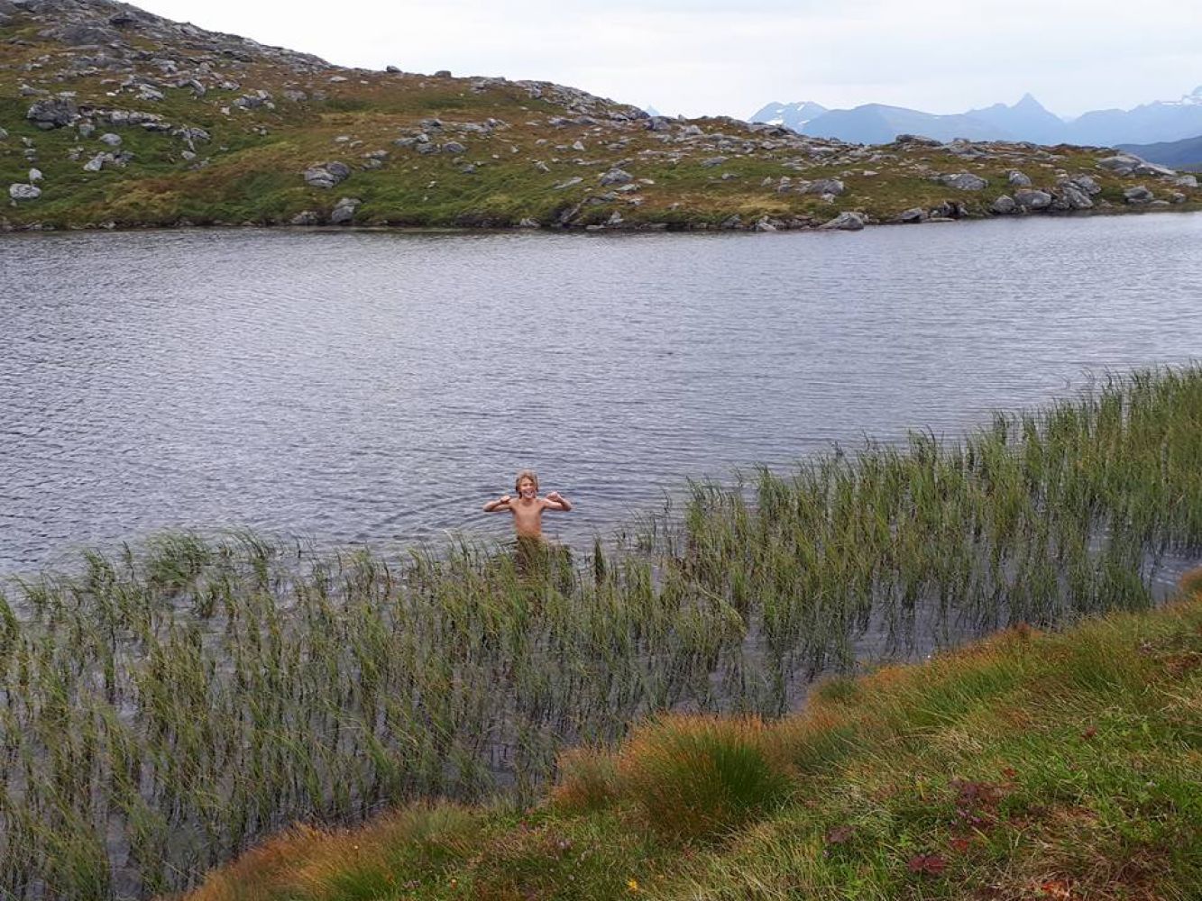
Lovely route through a scenic landscape. It begins down in the Ytredalen valley, but after a couple of kilometres, the trail leads through low vegetation with panoramic views in several directions. It can be windy at the top, so bring a windbreaker jacket in your rucksack. You can cool off with a swim in Grøthornvatnet Lake. you will cross a river where you can fill your water bottle.
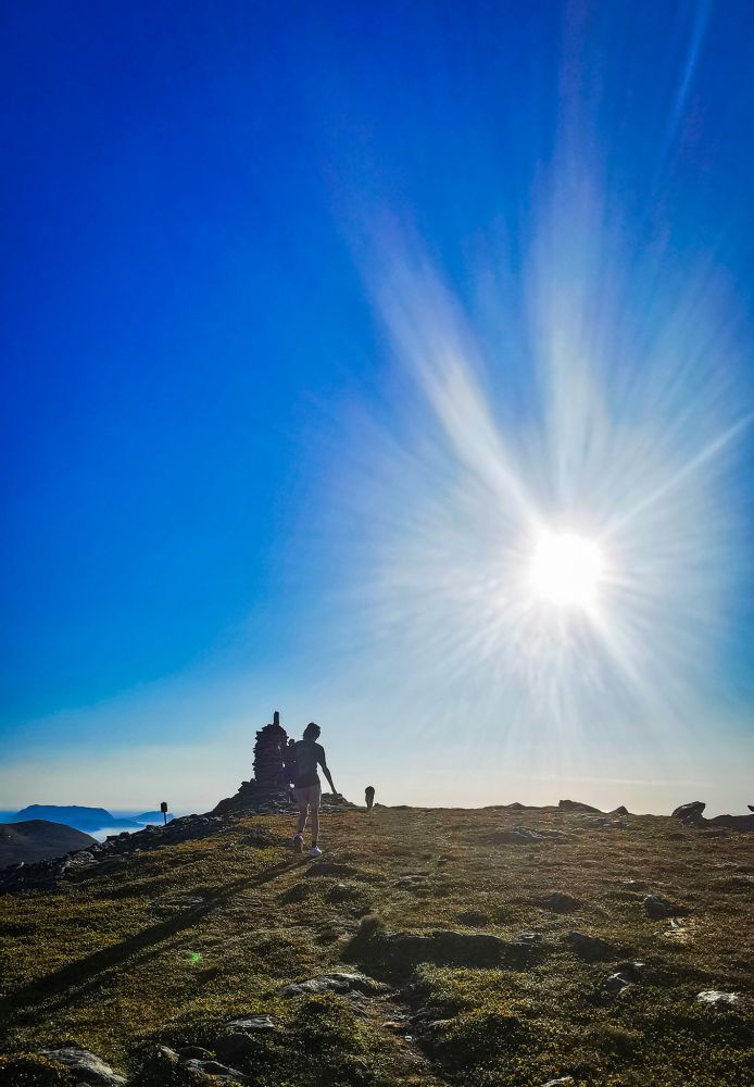
A gravel road leads from the parking area further up in the valley. Follow this until you come to the sign for Skolma and continue on a clearly visible path up to Setra. This initially leads down to Ytredalen where the forest is diverse. At Setra, there are signs directing you towards Skolma, and soon you will be above the tree line. Enjoy a refreshing swim in Grøthornvatnet Lake along the way. Follow the path the entire way until you reach the peak of Skolma. Here you will have mountain views of Runde, Herøyfjell and Fløfjell, Giske municipality and the city of Ålesund. When you are done enjoying the views and relaxing by the cairn on Skolma, turn around and head back along the ridge of the peak and you will see Grøthornvatnet Lake to your right. There is a path to follow here, but the vegetation is completely flat, so feel free to tread wherever you like. Head to the left side of the lake. Once you descend to the lowest part of the lake, continue following the path. On the lower part of Grøthornet, the path may become more difficult to follow, but if you continue to follow it, you will see a crevasse or fissure in the mountain wall near the lowest part of the marked path. If you stray from the path, don't despair, just keep hiking in the same direction and you will return to the path. The area is very open and accessible, so this is a great hike with excellent views of the ocean, Giske, Valderøy, Ålesund, Sula, and the fjords. Enjoy your hike :)
From central Hareid, head towards Brandal, about 4 km. Follow the main road through the village centre and up a small hill until you reach a junction. Take a left up along the Ytredalen valley until the end of the road. There is parking for about 8 cars. The trail starts here.