Mount Skjorta, 1711 m a.s.l., is an extremely popular mountain hiking destination in the village of Eresfjord. The mountain is exposed to easterly winds, which is why the snow rarely stays for longer than a couple of days. The spring season when the snow has melted slightly in the sun is perhaps the best time to enjoy good skiing conditions.
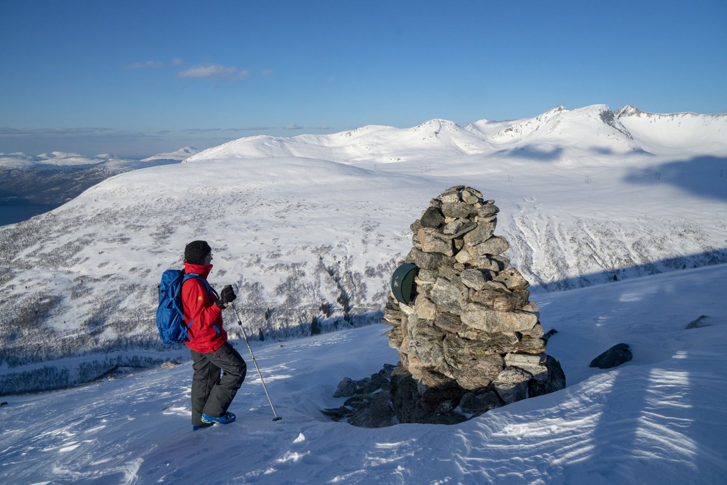
The mountaintop offers an amazing view in all directions.
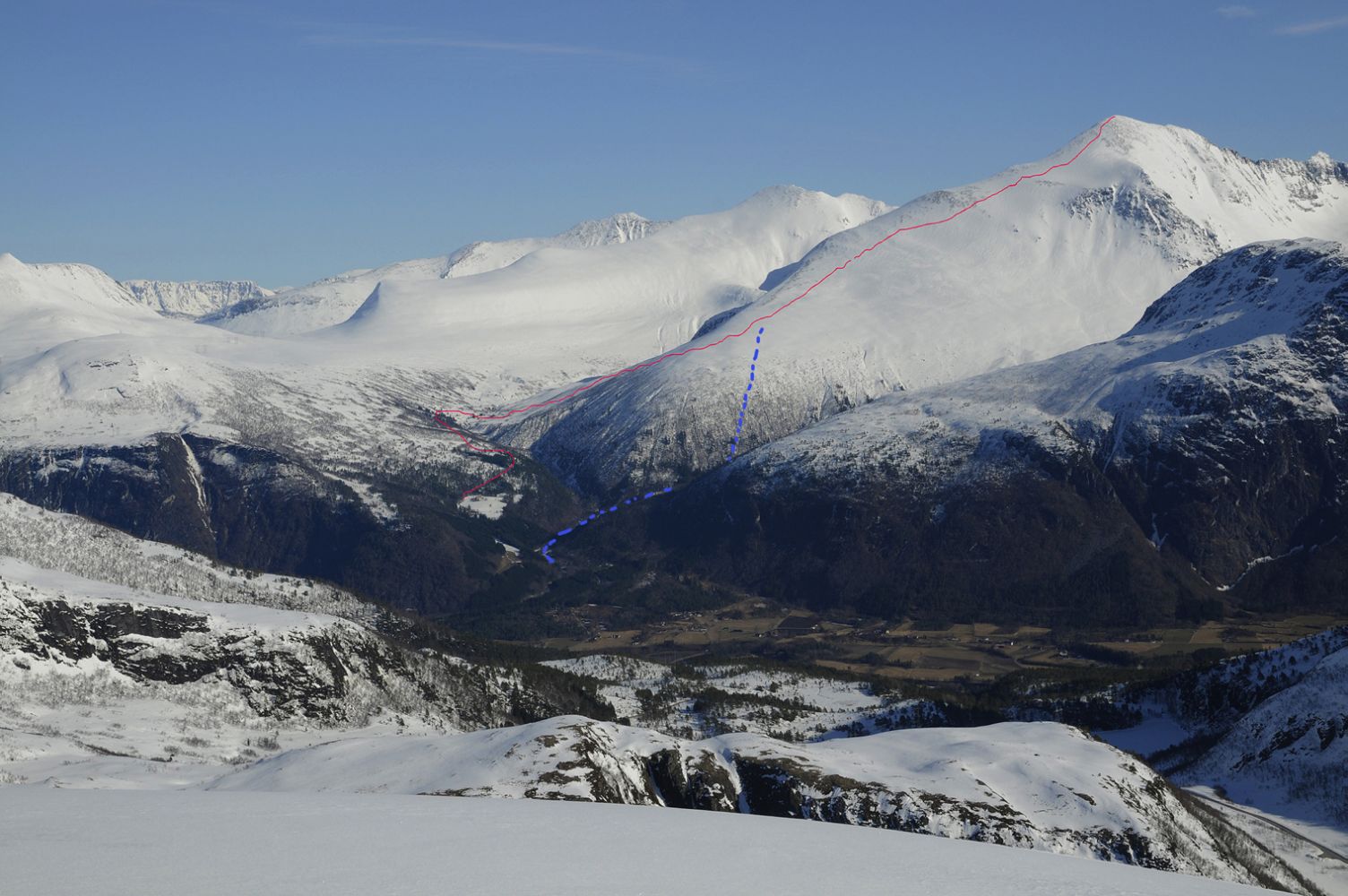
Note: the ski track starts from Grandsetra. The real ascent is 1600 altitude metres.
If you have followed the farm road to Storstølen in Kanndalen, move down to the river and cross it over the bridge. From here, follow the ski track uphill and slightly to the right through gentle terrain until you reach Madsvarden at about 900 m a.s.l.
Please avoid skiing under the edge of the snow cornice and keep to the ski track further down instead.
You will soon find yourself on a large and wide snowfield. Follow the mountain ridge in its left part.
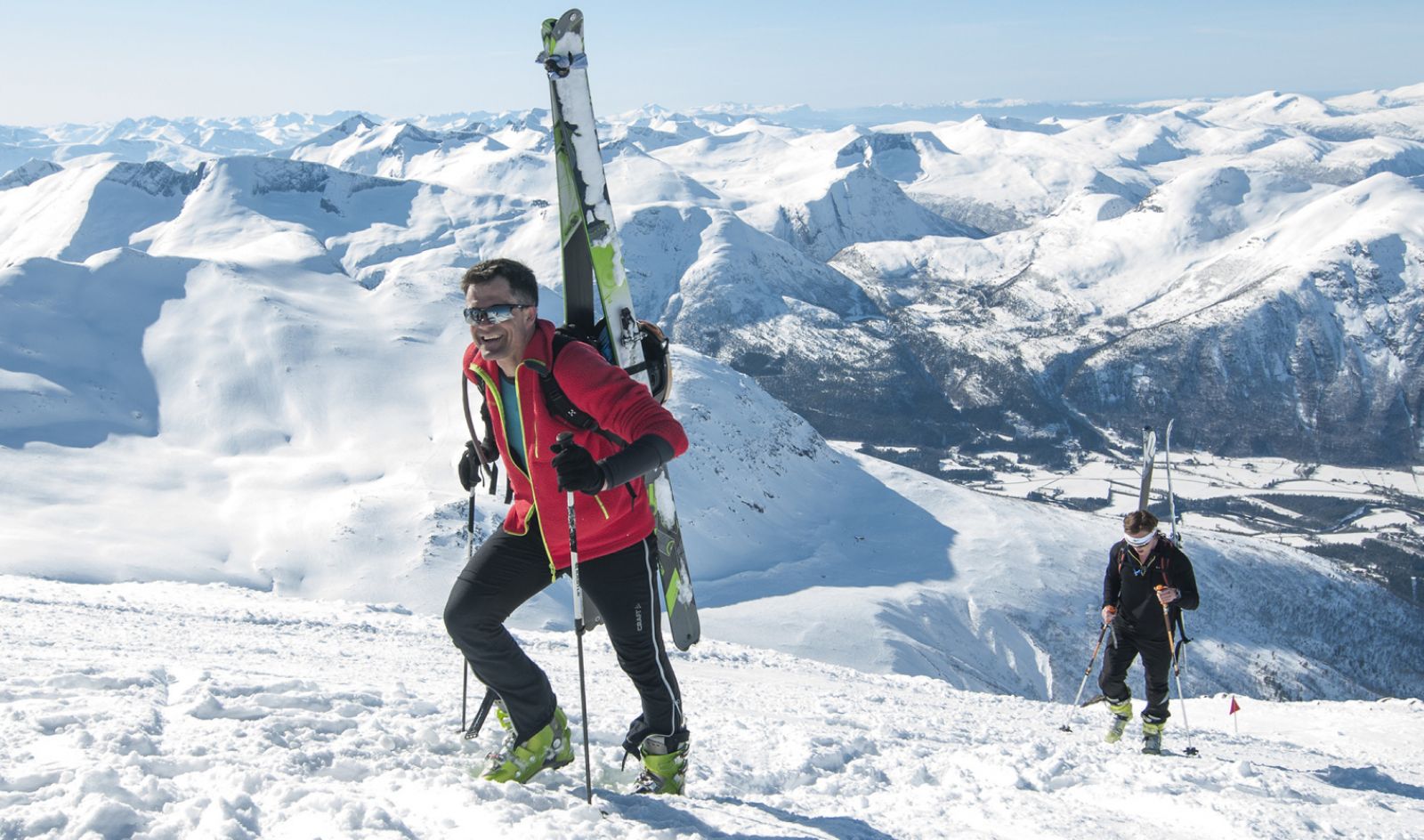
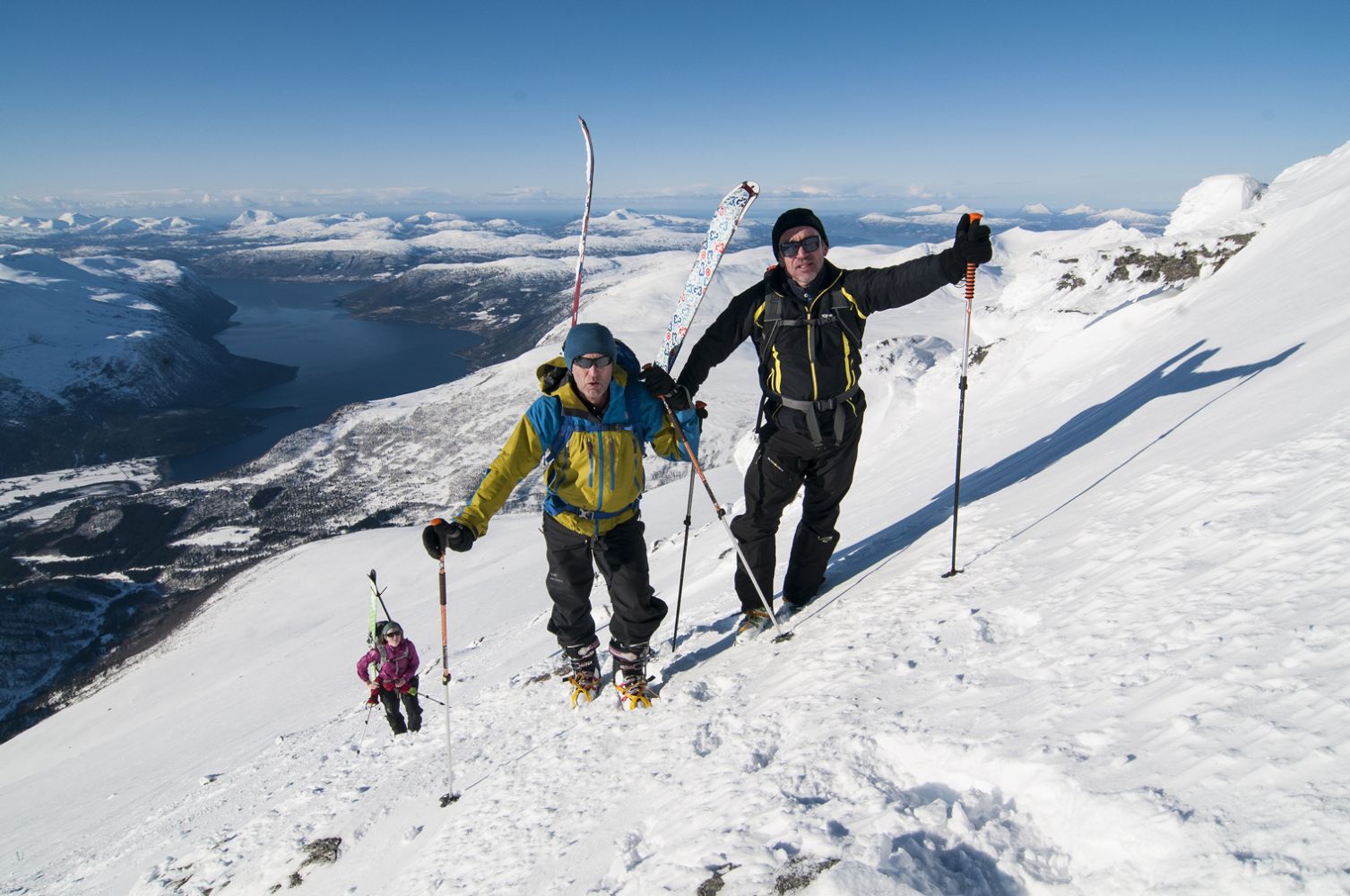
The final section before the mountaintop is a steep and rough scree area. It is often advisable to leave your skis here and walk to the top.
This patch is often quite rough and windy, and you might occasionally need crampons.
If you chose to ski up the Kvidalen Valley, follow the forest road, cross the bridge, and continue further up to a mountain farm called Forhaugstølen. From there, climb up the hillside through the forest. Then aim for Madsvarden and follow the main route further up the left side of the ridge.
Watch out for the large snow cornices at the top of Mount Skjorta.
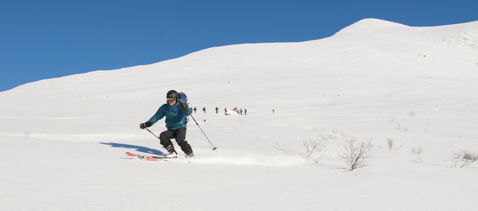
Take a nice break at the mountaintop, enjoy the view, and prepare for a long but exciting downhill slope.
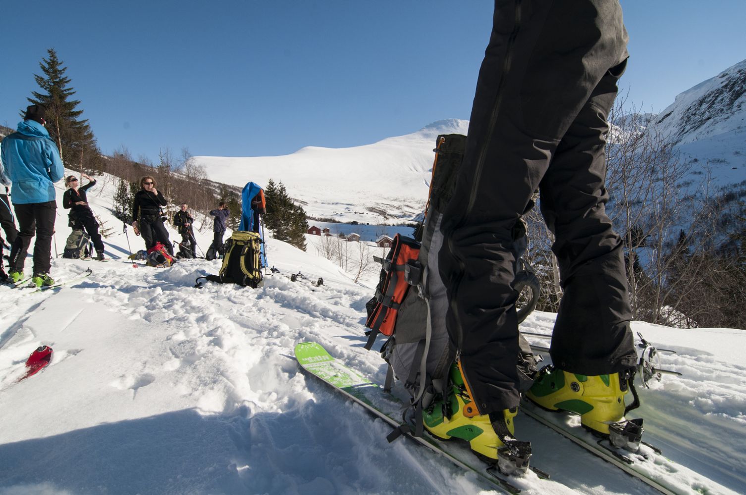
From Syltebø in Eresfjord, take the county road that runs up the eastern side of Eresfjord. After about a kilometre, turn up to the left and follow the municipal road that is signposted to Grandseter. Follow this road for 1.3 km until you reach the car park just before the bridge in Bjørbakken.
There are several ways to get to Mount Skjorta from here. The easiest option is to follow the farm road to the Kanndalen Valley. Alternatively, you can take the road up to the left after the bridge. Both roads will take you to the Kanndalen Valley.
The third option is, instead of crossing the bridge, to go straight ahead and up the Kvidalen Valley.