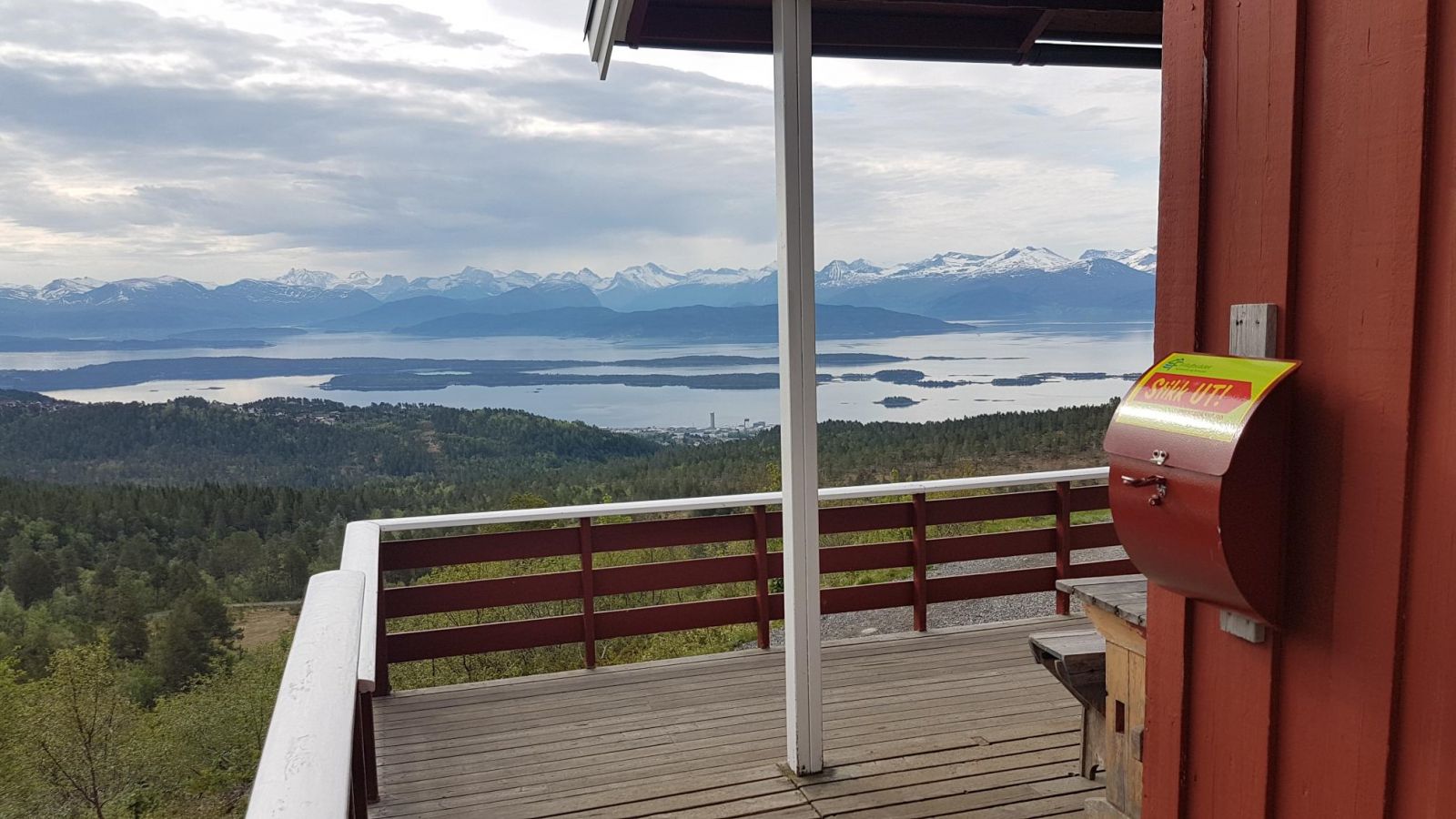
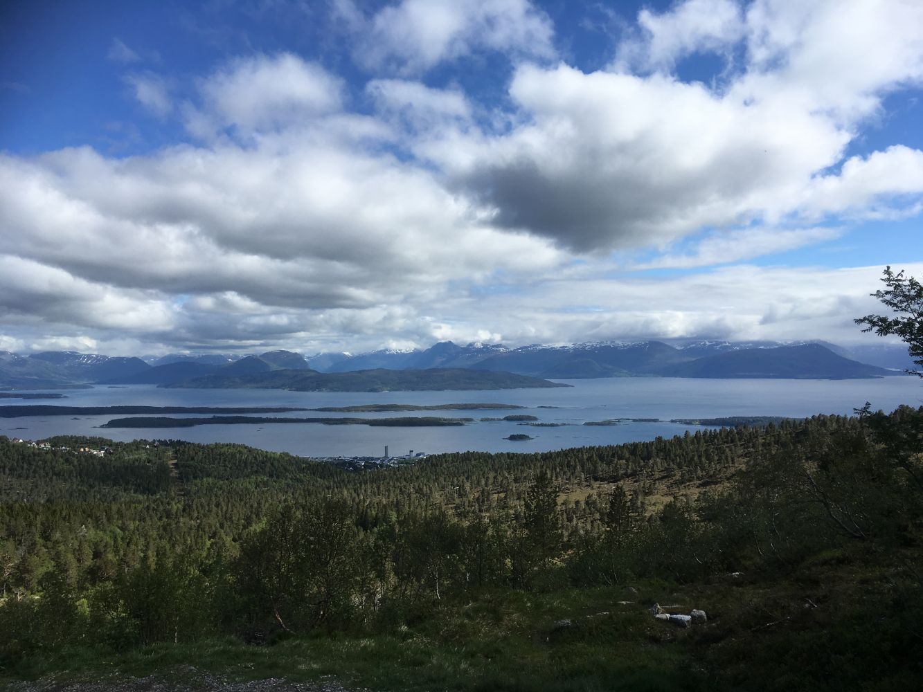
This is a nice walk that offers a fantastic view of the fjord and mountains in the south. The trail is one of the most common hiking routes in the area around Molde.
Route description
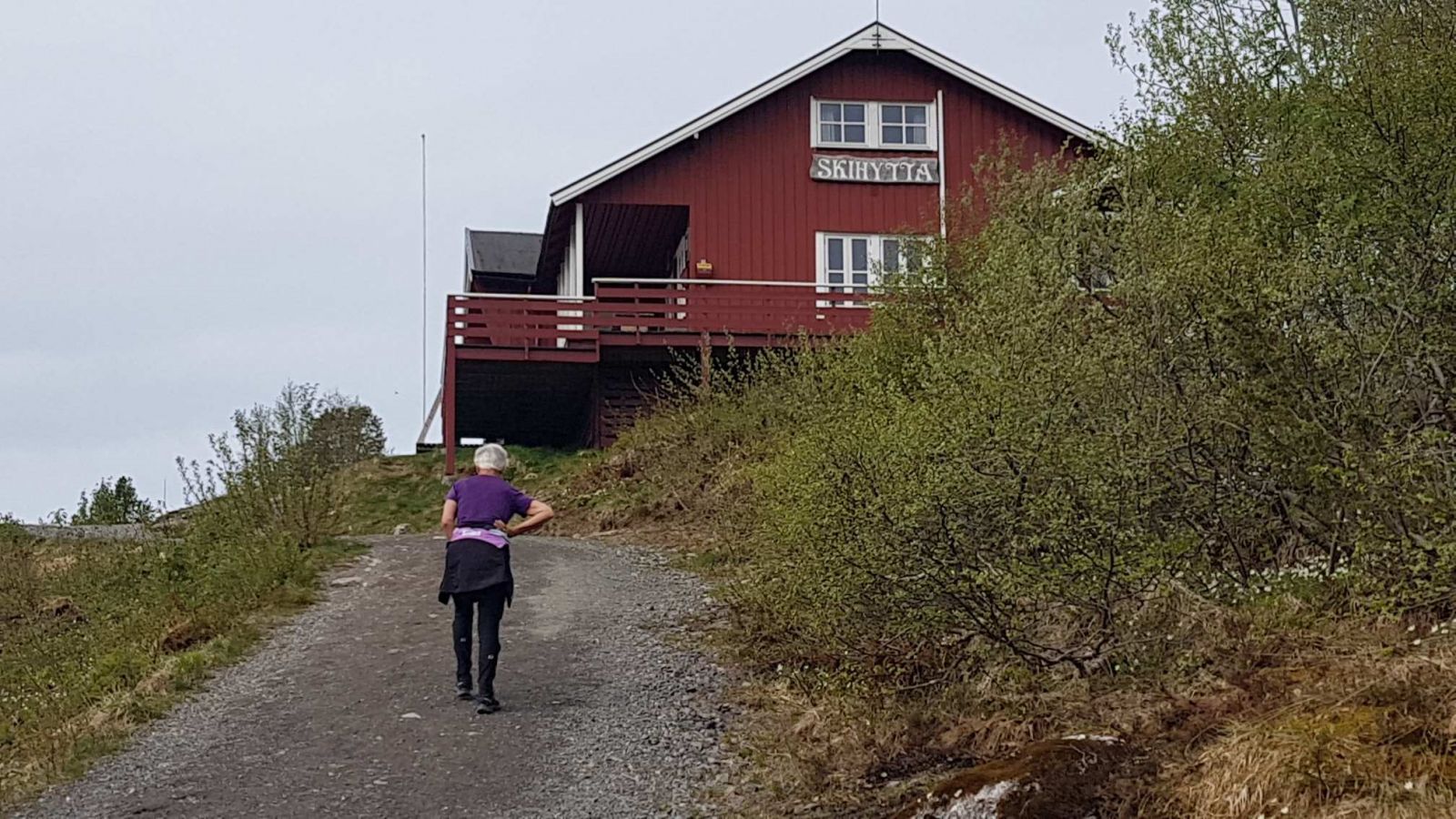
Start walking from the car park along Vardeveien Road in Damefallet. You can follow the signs pointing to “Skihytta” (“the Skiing Lodge”) from here. You will walk on a nice gravel-surfaced path the whole way up. One option is to follow the gravel path right up from the car park. The other is to follow the ski trail with a gentler ascent. This description and the track on the map illustrate the second option. Starting from the car park, follow the ski trail as it turns right. The path goes slightly down at first and then climbs up to the left and goes over the bridge. After about 400 m the path splits in two. The ski trail continues towards the right, but you need to follow the hiking trail without the lampposts that goes to the left. Follow this path all the way to the Skiing Lodge.
Access and parking
Follow the signs to Varden from the centre of Molde. Drive along Vardeveien Road past Fjellbrudammen and continue further up to Damefallet where the ski trail crosses the road. You can park your car here at the designated car park on the right side of the road.