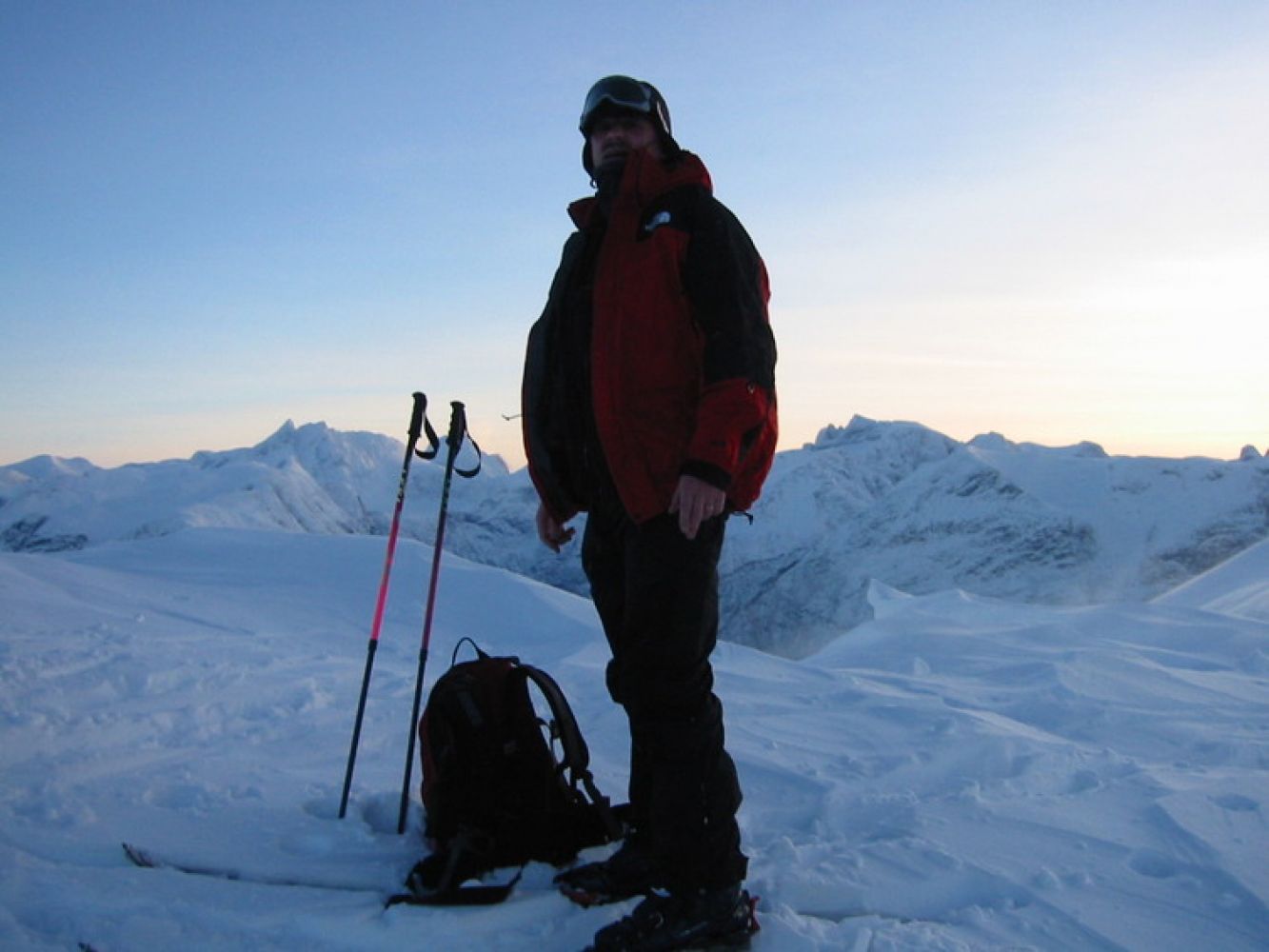
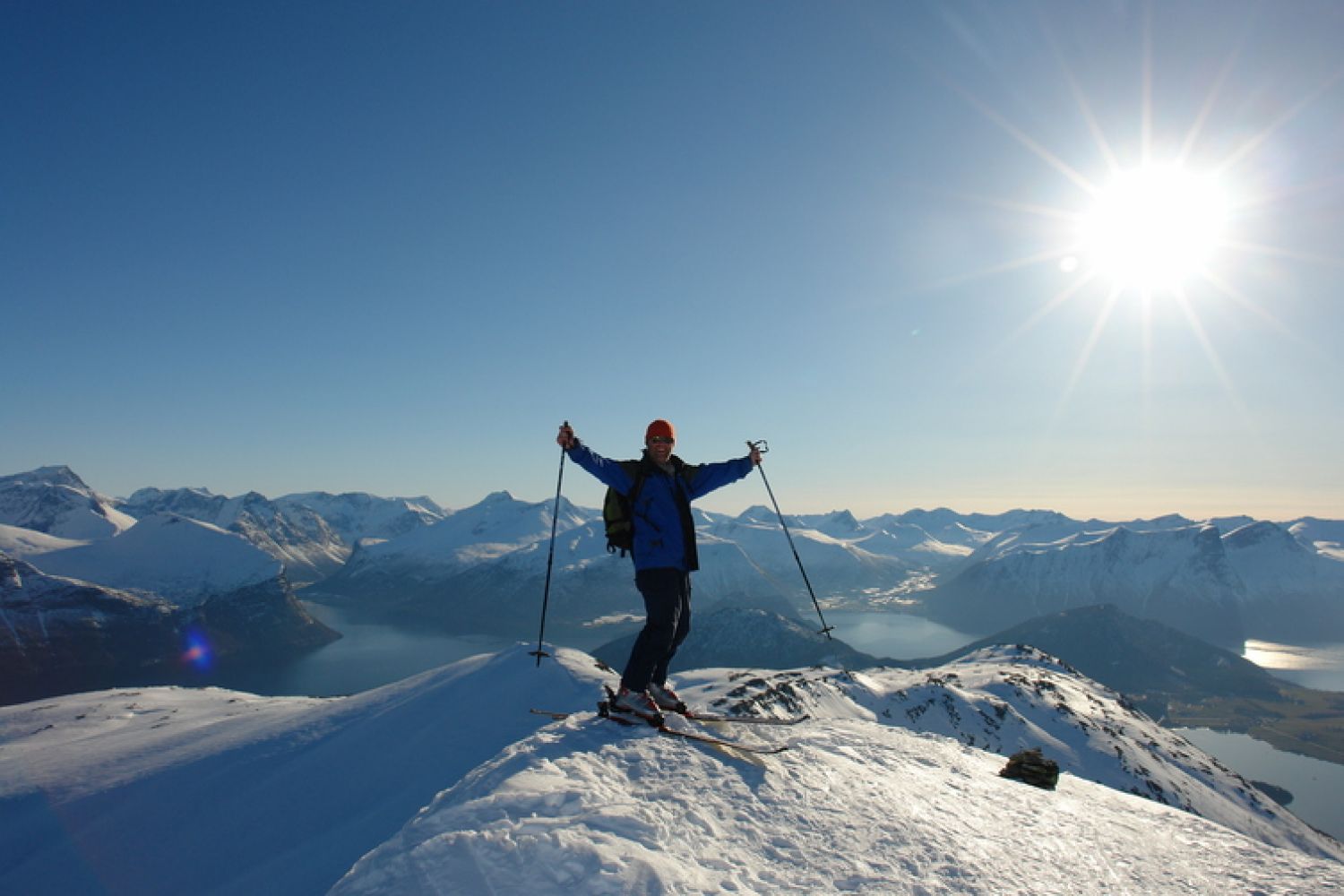
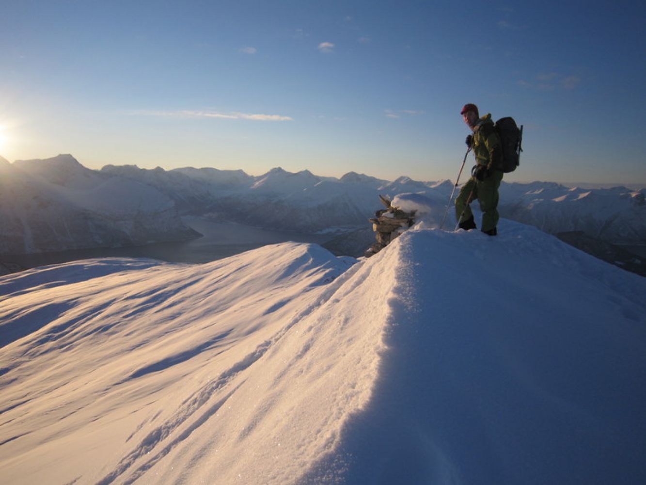
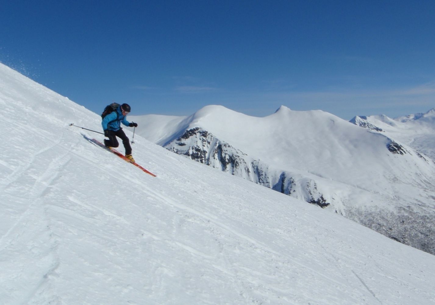
Leave your car at the car park in Skorgedalen (toll road). From the end of the car park, move diagonally up to the left. The ski trail usually follows the old slalom track behind Kjerringhaugen, but you can also follow the mountain ridge to the left of the riverbed (or cross it when you are about half way through). Follow the mountainside up to the cirque under Skarven. From here, it is common to ski across the left mountainside until you reach a place just before the ridge and then continue just under the ridge up to the gap before the peak. Follow the ridge up to the mountaintop from here. Note that the leeward side under the mountain gap before the peak can often be exposed to avalanches. On the way down, skiers typically follow the broader mountainside, preferably via the edge towards the Skorgedalen Valley. Source: