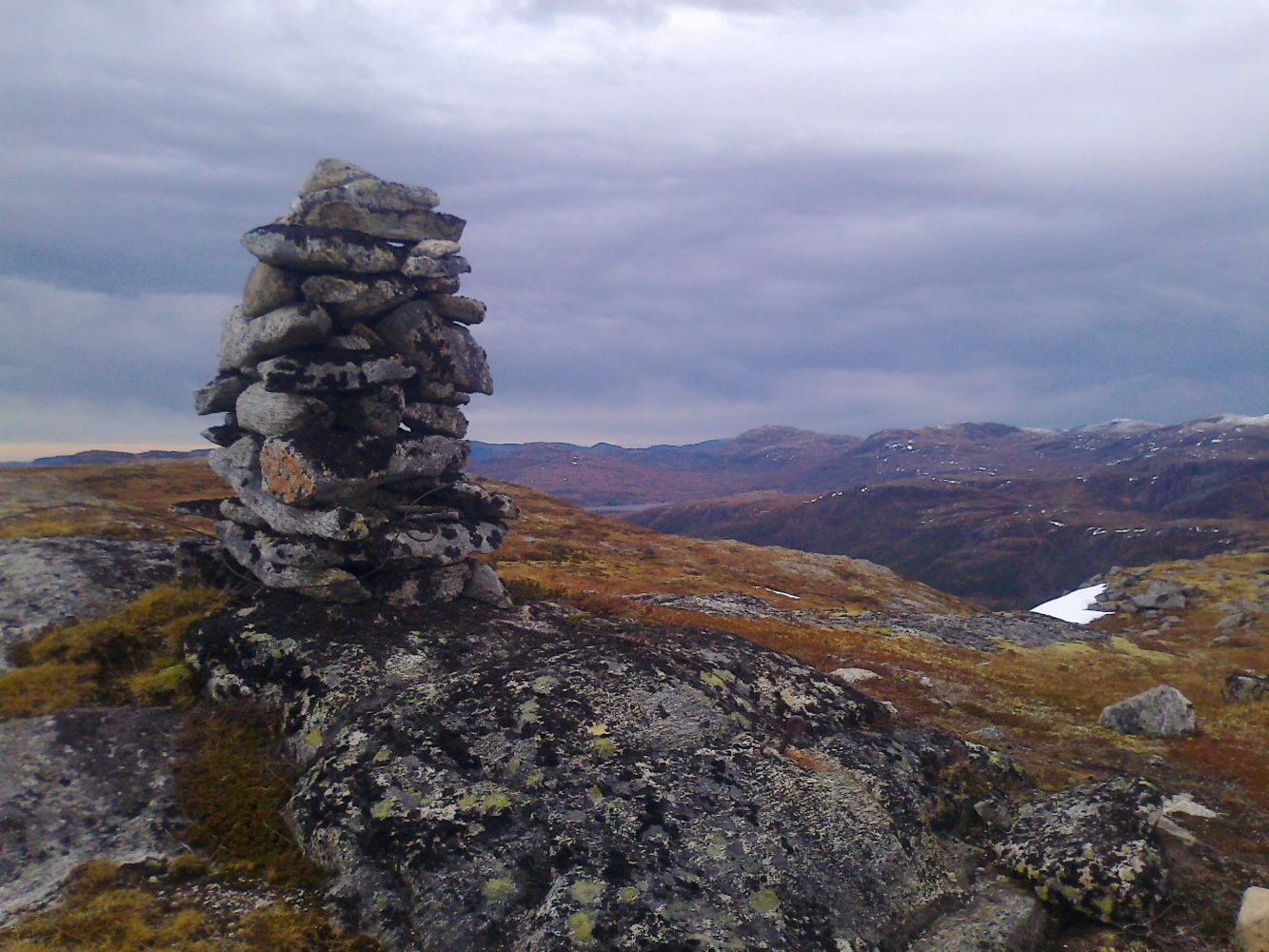
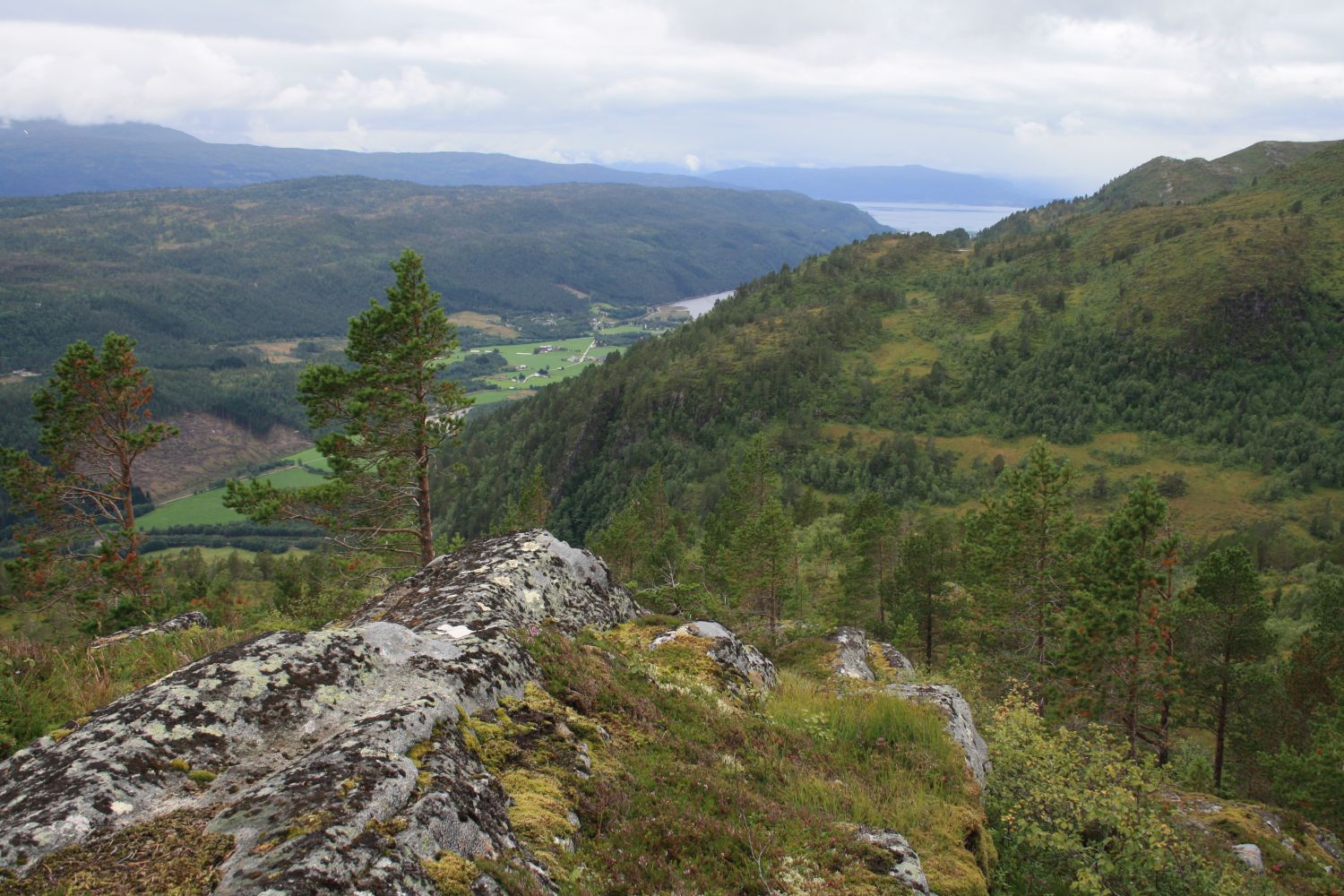
The view from the summit and on the way down makes this hike an amazing outdoor experience. With the height of 649 metres above sea level, Skarven is also perfect for exercising. The trail follows a forest road and later a path, and the surface is fairly solid the entire time. Only the final section of the trail when you approach the summit can be a little wet.
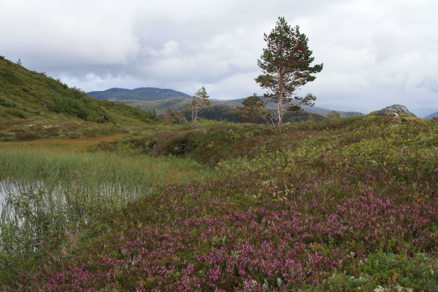
Drive up the Bøverdalen Valley until you reach Seterbøen, about 4 km from the junction in Bøverfjorden. Leave your car at the signposted car park for Tverrlihytta on the right side of the road, by Borstua. Walk back along the road for a couple of hundred metres. Follow the sign pointing to the Tverrlihytta cabin on the right side of the road. Walk across the meadow and follow the forest road and waymarks towards Tverrlihytta. After just over a kilometre, you will see a sign that tells you where to leave the road and take the path which will lead you further up to the top of Skarven. The path follows a grassy area that runs diagonally up the mountainside. Keep following the path until it flattens out and you see a small pond on your left. Walk around the pond and follow the marked path up to the mountaintop.
Park your car by Borstua, Seterbøen.