Norsk

Skageflå

Stranda

The trail at a glance

This is an absolutely beautiful hike in the heart of the only area in Norway that is listed on UNESCO’s World Heritage Sites list. You will get to experience the majestic Geirangerfjorden, scenic waterfalls, old mountain farms, and amazing hiking paths – the best of what both nature and culture have to offer.The mountain farm Skageflå offers a unique view. Here, our royal couple celebrated their silver wedding anniversary, together with members of other royal families from Europe. An organisation called Storfjordens Vennar greatly contributed to the restoration of the farm buildings at both Skageflå and Homlongsætra (the highest point on this hiking route). You will find several helpful information boards in the centre of Geiranger and in Homlong (tourist info, map, level of difficulty of hiking trails, and more). There are also information boards at Skageflå and Homlongsætra that describe the cultural history of the area. There is also an outside toilet at Skageflå, a trail postbox, and a barbecue spot.You will walk past several scenic viewing points along the way.

Route description

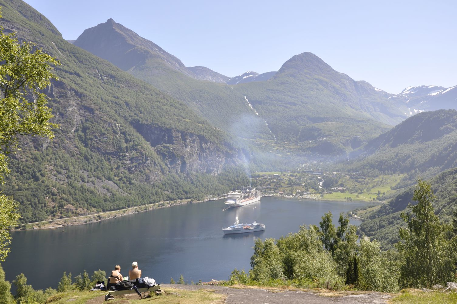
A boat trip along the Geirangerfjorden would be an unforgettable start to this hike. You will then do some sightseeing before hiking. The sightseeing boat has several daily departures during the summer season. Please check http://www.geirangerfjord.no for more information on boat trips. 
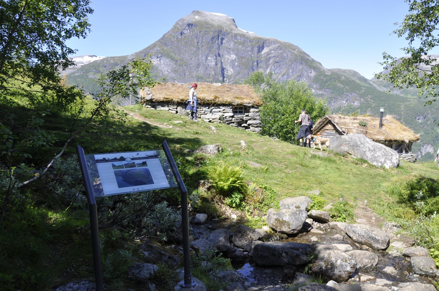
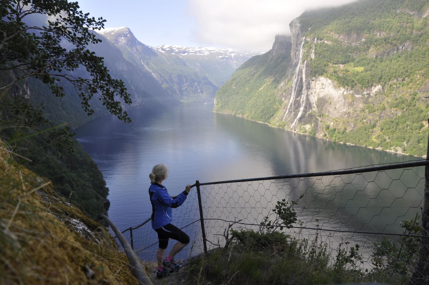
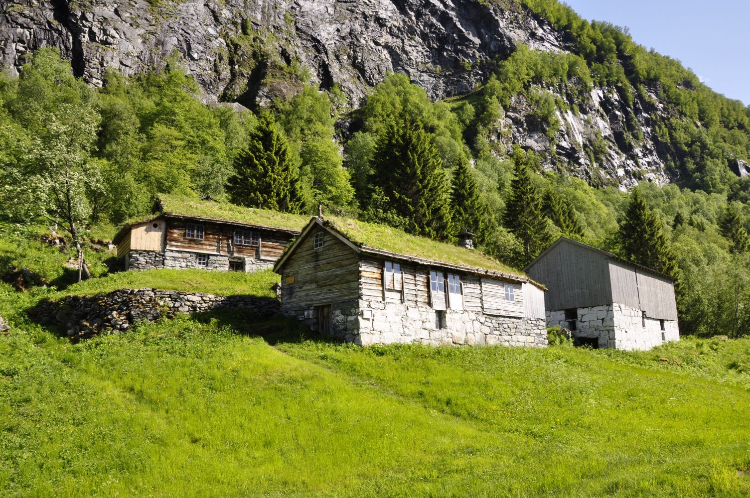
The sightseeing boat takes passengers to Skagehola at certain times and can also pick them up there. Follow the path from Skagehola as it winds its way up the steep mountainside until you reach Skageflå at 250 m a.s.l. The path is paved with stones and at certain points runs through the rock. It is steep but not difficult to follow, although this might be unpleasant if you have a fear of heights. Dangerous sections of the trail are equipped with fences. From Skageflå, walk further up through steep terrain. The final section towards Homlongsætra at 544 m a.s.l. is somewhat easier. From here, the path gradually descends along the edge of the mountain until it reaches Homlong which lies 2 km away from Geiranger. If you have not organised car transport from here, you can follow the gravel road along the fjord back to the centre of Geiranger.

Access and parking

The starting point of this hike can either be the centre of Geiranger or Homlong. To drive to Homlong, turn off the main road in the centre of Geiranger at the sign for Homlong. Follow the gravel road for about 2 km. Park your car either in the centre of Geiranger or in Homlong (NOK 50).
Hiking route
Red
Distance
56 km one way
Elevation
595 m
Duration
3 t. 40 min.
Sesong
Autumn
Highest Point
552 masl

Map route

Surface type Distance
Sti 5

Public transport

There is a regular bus connection several times a day. nettbuss.no

Other

Make sure you take good care of young children, especially on your way up from Skageflå until you complete the steepest sections of the trail towards Homlongsætra. This also applies to a point along the path where it approaches the very edge of the mountain on your way back to Homlong.

Map

Stranda Municipality hiking map 1:50.000
Driving directions

API endpoints

Route data GeoJSON