Skafjell - ski trail
Hareid
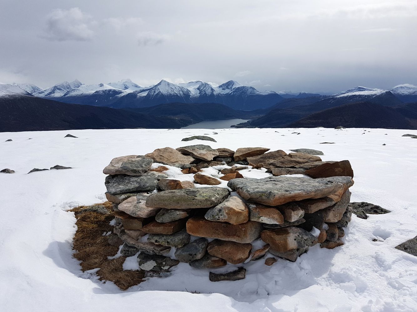
Great ski trail on Hareidlandet island with lovely views.
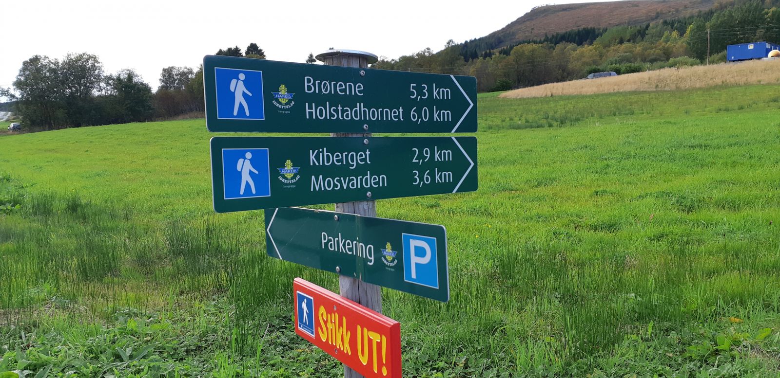
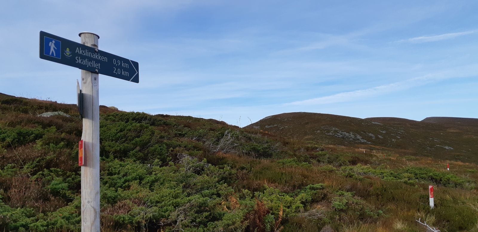
Walk up the road to Hareidsvegen 533 and 535. There are signs for Brørene/Holstadhornet etc. along the footpath. A forest road begins just behind Hareidsvegen 533, and the route follows this forest road through the woods. Once you emerge from the woods, head towards Risesætra. From Risesætra, cross to the right, eastward, towards Akslinakken and Grøthornet (follow the signs). From Grøthornet, you will see the route that continues to Skafjell. There are signs for this before you come to the last hill leading to the top. You will easily find your way back down, whether you want to zigzag or make some nice curves.
You can use mountain skis, Telemark skis, or randonee skis on this trip. If you prefer snowshoes, that will work too.
From central Hareid: Follow County Road 61 about 5 km towards Ulsteinvik to Ned-Rise. Look for signs to Brørene/Holstadhornet. There is parking by the footpath. From Ulsteinvik: Head towards Hareid. The trailhead is about 1.5 km beyond the municipal boundary at Hareidseidet.
Duration
2 t. 25 min.

Bus to Hareid or Ulsteinvik: see frammr.no or entur.no
You can also start the route from Bigset. Turn off from County Road 61 by the Bigset preschool. Follow Skogvegen and Oreteigen to the end. Here you can park (voluntary payment with the Vipps app to support the parking area). Follow the forest road up until you leave the woods, and then find your own route to the top.
If you want to go further than Skafjell, you can continue to the mountains of Mosvarden and Brørene, or to Holstadhornet. The choice is yours!
 Driving directions
 Route data
GeoJSON
Route data
GeoJSON