Skafjell and Mosvarden from Bigset
Hareid
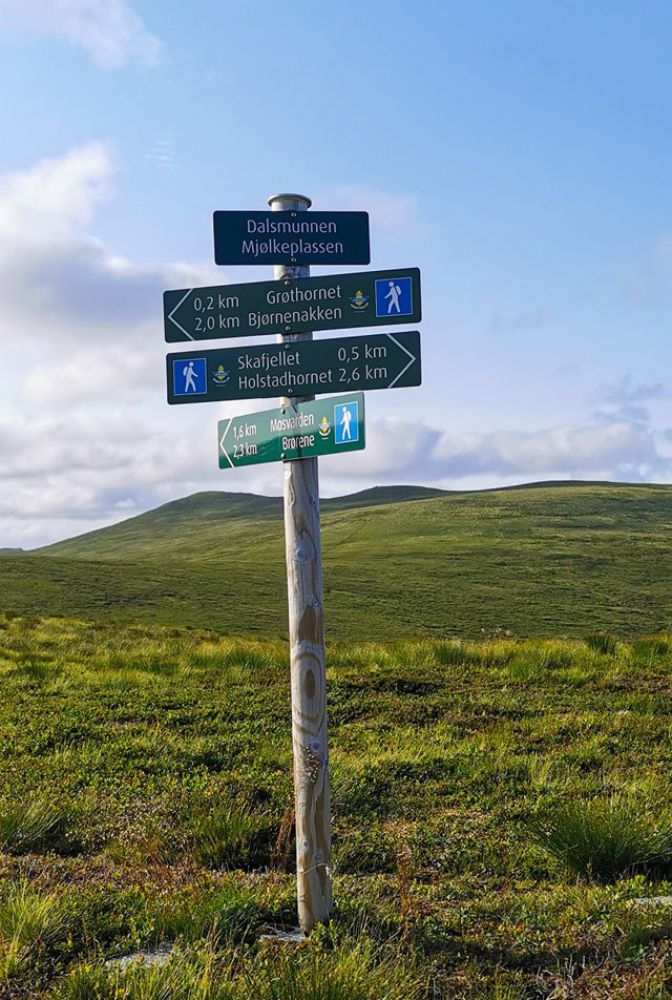
This route starts on a forest road and continues along a narrow path. There is a clear path the entire way with good signage. The trail leads through the woods at first until you reach the tree line, after which the hike continues through low vegetation. Long stretches have a gentle incline, and certain parts are steeper, but there are no sections that are difficult or that require climbing. The hike can easily be done while wearing running or terrain shoes.
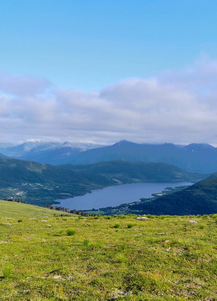
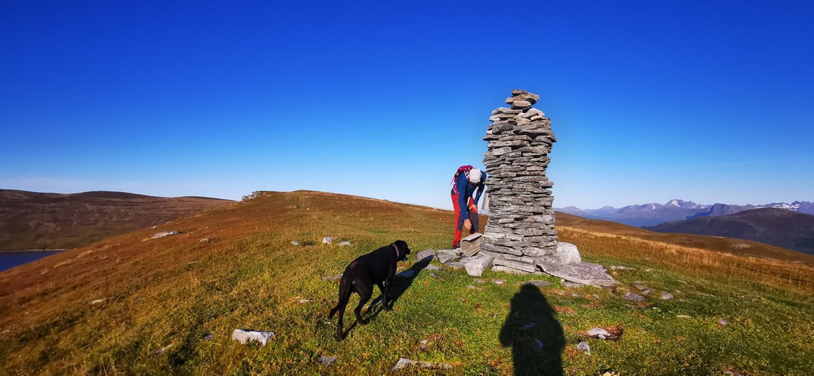
Follow the forest road. There are many detours, so it is best to follow the marked path on the map. After the forest road, the path is clearly visible the rest of the way. Open mountain scenery and views of Hareidsdalen og Ulsteinvik and Runde to the west, Brørene to the north, and the Sunnmøre Alps to the east.
From central Hareid, head towards Ulsteinvik. After about 5 km you will reach Bigset. Turn right at the junction by the Bigset preschool. Drive about 100 m and turn left at the road marked Oreteigen. Continue to the end of the road where there is a parking area with room for 8 cars. The trail starts from here.