An easily accessible hike at Hareidlandet. Great views from the top with opportunities for continuing further than described here. If there is snow, you can ski or use snowshoes along the trail. Parts of the trail are well-marked and the path is currently being developed by enthusiastic volunteers who are doing an important job by laying stones and draining the wet areas.
The route starts from the neighbourhood in Bigset in Hareid municipality, Oreteigen, on a forest road. This route has one trail up (Bigsetråsa) and one trail down. The trail down is well-marked down to a forest road. From here, the trail is not marked, but it is easy to hike if you follow our instructions.
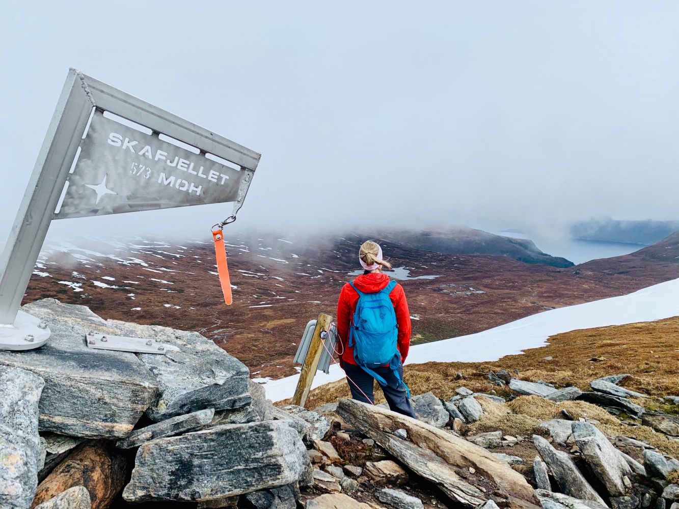
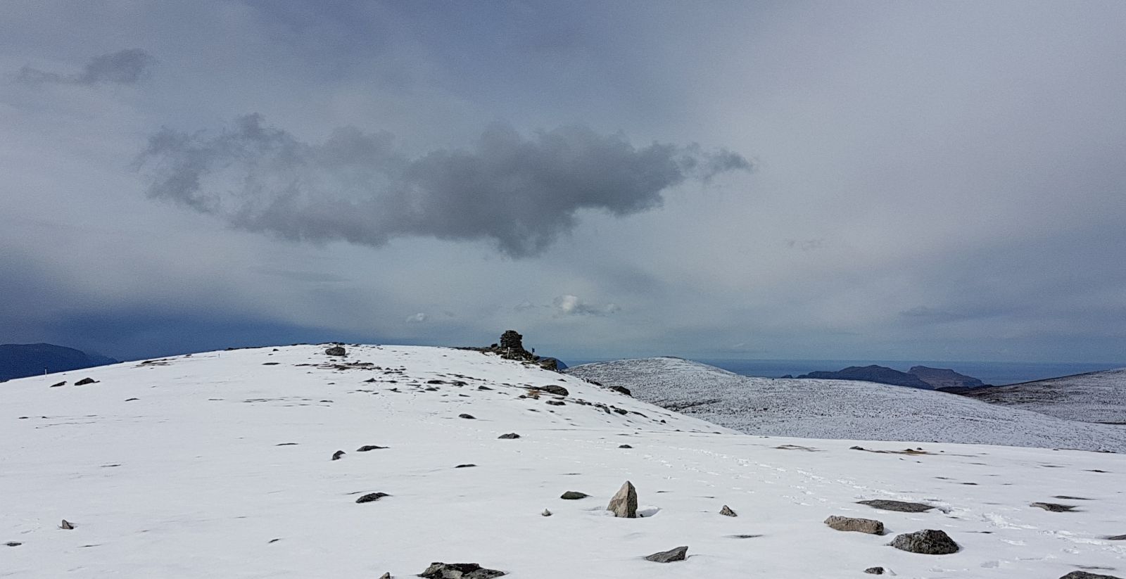
The route up to Skafjell: Follow the forest road from the end of Oreteigen (no. 79). After just 1 km at (N62° 21.597' E5° 57.25str1'), turn onto the trail up through the forest to the left. After a bit, you will be crossing a forest road. Continue on the trail with the sign "Bigsetråsa". The trail will lead you to the end of a forest road. From here, the trail has a gentle incline. You will then cross a marshy area and the trail may become less visible. It will gradually become clearer, and it will lead up between a red cabin and a large boulder. Once you have passed the cabin, you will see a few signs. Continue along the sloping ridge to Skafjell.
The return route follows a well-marked trail down to a forest road (snow marker with reflector tape), which continues along a well-marked trail to a drinking spot at the end of a forest road. Follow the trail through the woods until you come down to a forest road. The trail will no longer be marked. Follow the road and take the first turn to the left, then the first turn to the right. Now you will reach the place where you left the trail on the way up. Turn left onto a trail down through the forest, over a bridge and down to a farm. Follow the road until you reach the parking area.
Follow RV61 between Hareid and Ulstein. Exit onto Skogvegen, about 4 km from Hareid ferry port. Park at the Bigset preschool. The trail starts at the end of Oreteigen. It is also possible to park at the end of Oreteigen at a timber stacking site. Voluntary parking fee using the "Vipps" payment app.
Duration
2 t. 55 min.

Sesong
Spring, Summer, Autumn
| Surface type |
Distance |
| Sti |
3,6 |
Bus: Hareid-Ulstein. Route information at frammr.no
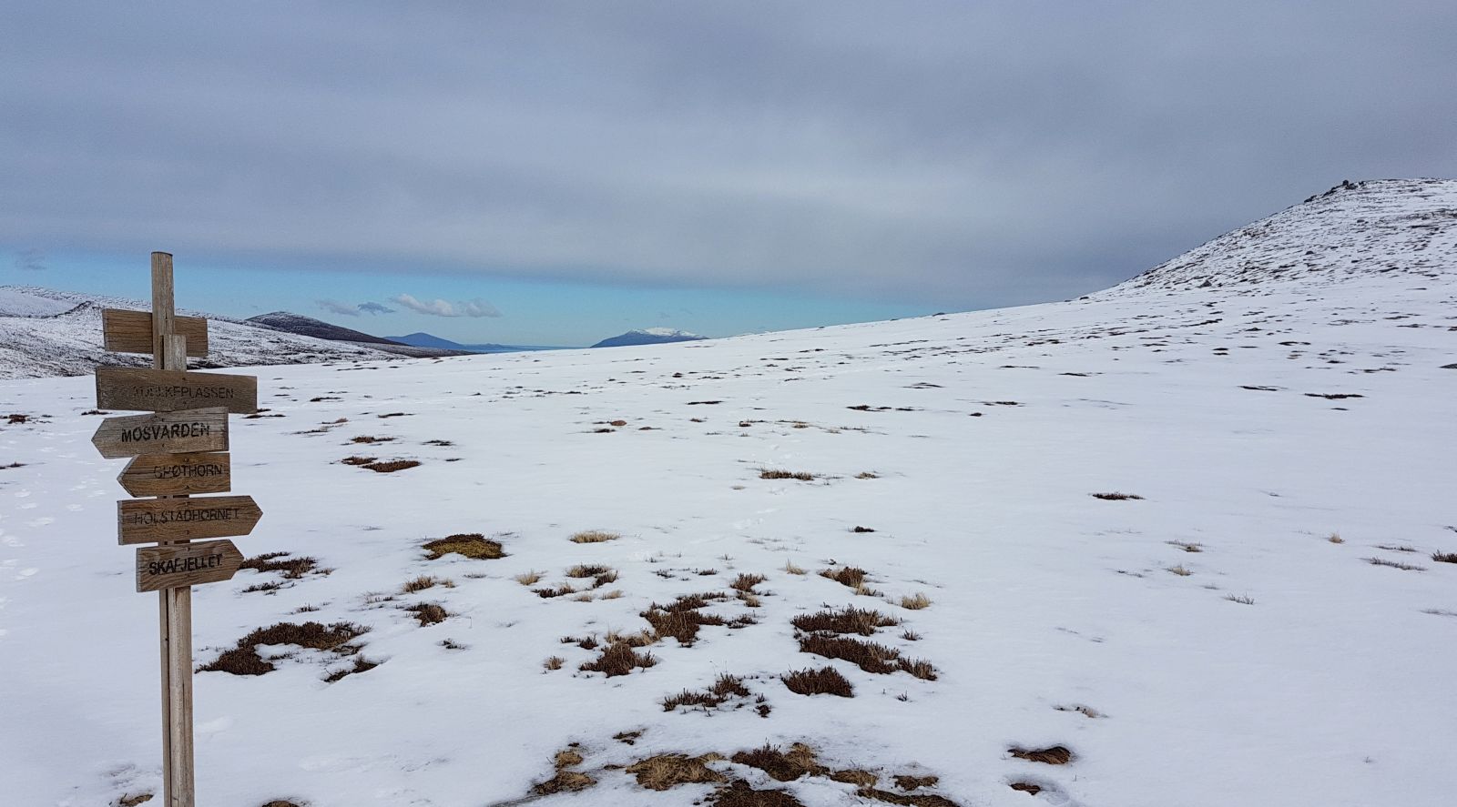
A parking area bordering Hareid and Ulstein has an information board with a map of the routes in the area. From Skafjell, you can continue on to other peaks on the Hareid island.
 Driving directions
 Route data
GeoJSON
Route data
GeoJSON