Norsk

Skålsetra

Molde

The trail at a glance

This scenic trail to Skålsetra runs through gentle terrain. The ski trail follows a summer motorway. You will find the trail postbox to the left of the ski trail when you reach Skålsetra.

Access and parking

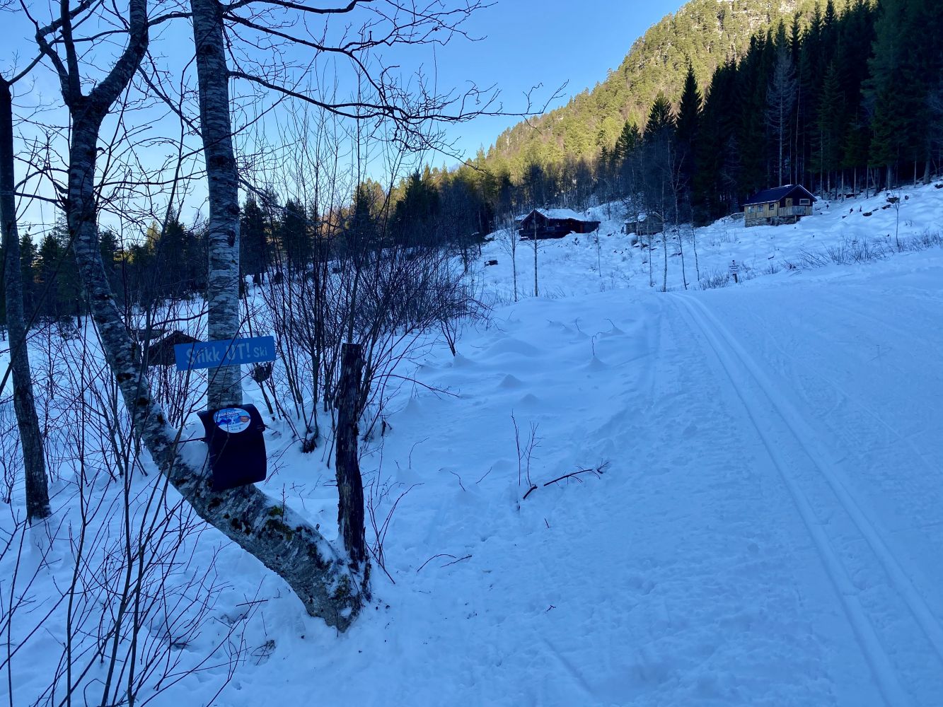
The trail starts in Berg. Turn off RV64 at the former Nesjestranda Upper Secondary School and follow Bergsvikveien Road for about 1 km. Turn right and park your car at the start of the cross-country ski trail. This is where the trail starts. Note: the road up is a steep municipal road where good winter tyres will often be necessary.
Skiing route
Blue løype
Distance
4,25 km one way
Elevation
93 m
Duration
1 t. 40 min.
Sesong
Winter
Highest Point
207 masl
Signage
No signage or markings
Mobile coverage
Partially

Map route

Surface type Distance
Preparert med tråkkemaskin 10

Payment method for toll road

Unknown
Driving directions

API endpoints

Route data GeoJSON