Skåla from Kortgarden
Molde
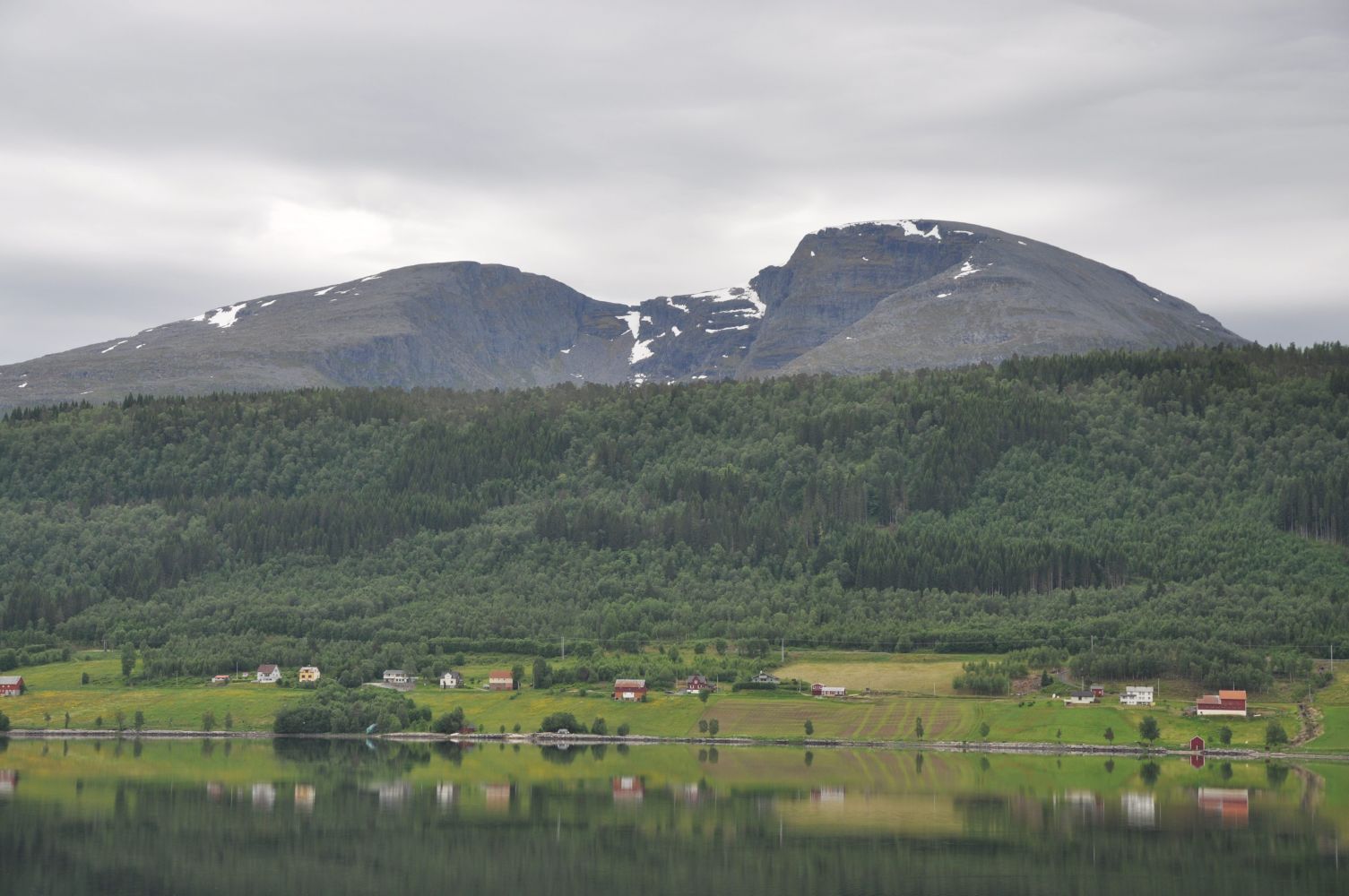
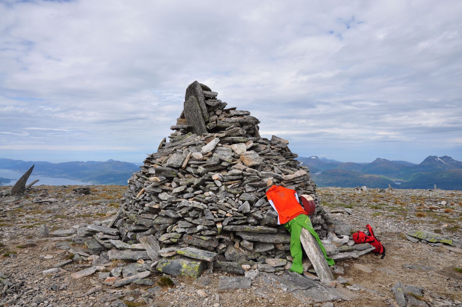
Skåla, which is more than 1000 metres above sea level, was the highest mountain in the former Molde municipality and is centrally located on the Skåla peninsula. From the top there are great views on all sides. On the way up, the trail leads past Trollvatnet lake, and the hike up here is suitable for families with children. Further towards the top, you will have spectacular viewpoints along the entire ridge.
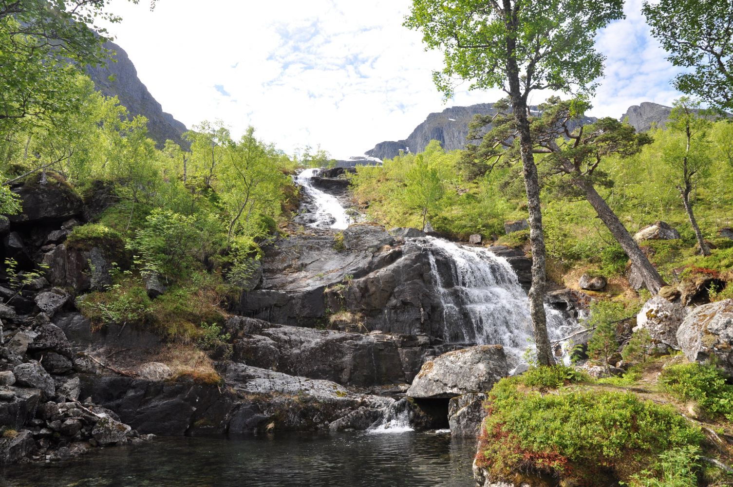
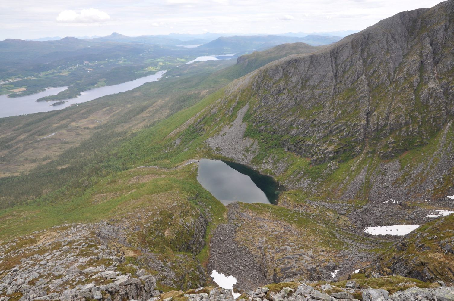
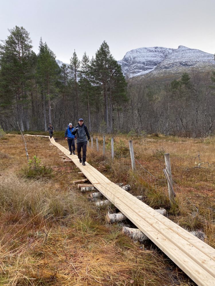
The route starts by Tjørhellmyra at Kortgarden. Follow the signs to Skåla. the first part of the route is along an old tractor road. Cross the old bridge before Tjørhellmyra, and continue along planks for 150 metres before you come to a path heading east (upwards). Once you arrive on this path, it will be easy to find your way up to Trollvatnet lake. The trail up to the top leads through a beautiful deciduous forest, pine trees and mountain scenery. The path leads along the Tverrelva river flowing from Trollvatnet lake located in the valley below Storskåla and Skålaksla. The path crosses the river by an idyllic pond below the waterfall from the lake. Up by Trollvatnet lake there are some great places to pitch a tent. From Trollvatnet, follow the path westward and along the ridge to the top. The path can be difficult to follow, but there are smaller cairns along the way to indicate where the path leads. There are some steep and some rocky areas at about 650 metres above sea level. At about 900 m.a.s.l., there are some lovely views to the west.
The starting point is Tjørhellmyra at Kortgården. From Molde, drive east towards Kleive. Turn off towards Osen. Follow the signs for Kortgården. When you arrive at Kortgården, turn off at the sign for Grendahuset. Follow the road up until you come to a boom gate. It costs NOK 50 (Vipps payment app) to continue from here. From the boom gate, continue onto a gravel road. You will pass a shooting range on your left, and after that, you will come to a road junction. There are signs to the left for Skåla and Trollvatnet. Drive a few metres past the trailhead to a parking area.
Duration
4 t. 10 min.

Signage
No signage or markings
| Surface type |
Distance |
| Sti |
3 |
It is possible to get to Kortgård by bus via Skåla. Timetables can be found at frammr.no. If you take the bus, the walk from the road to the normal starting point will be relatively long.
 Driving directions
 Route data
GeoJSON
Route data
GeoJSON