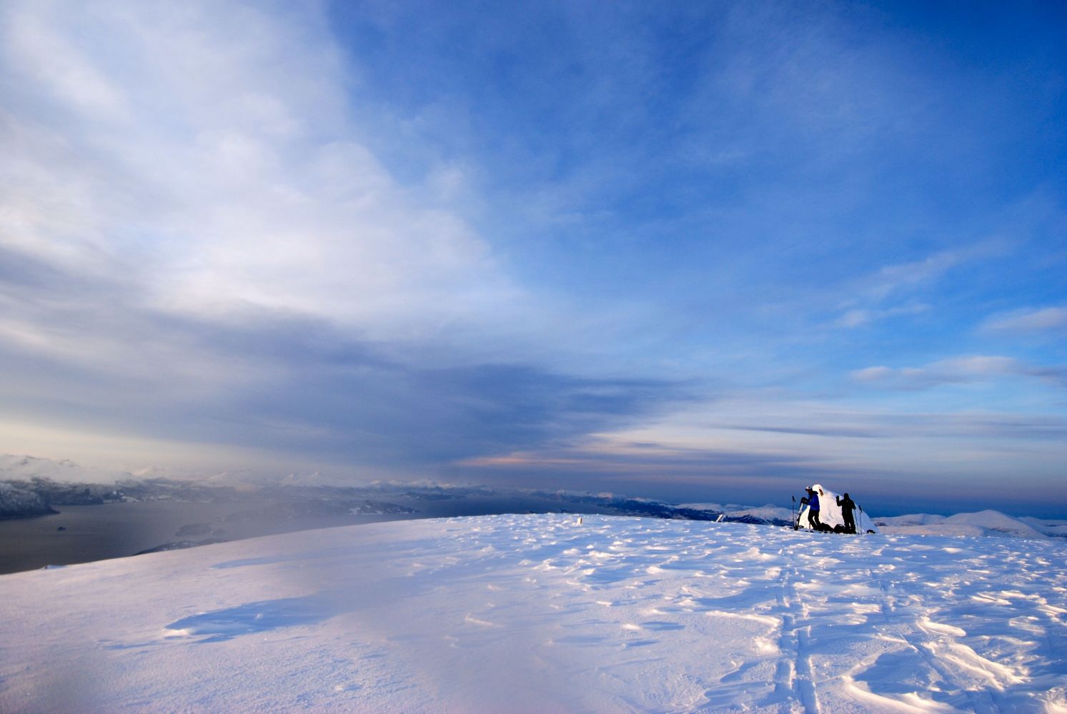
Skåla has one of the best views from the top. A stunning 360-degree panorama includes everything from towering mountains to the open sea. Enjoy the hike and remember to take a moment to enjoy the views.
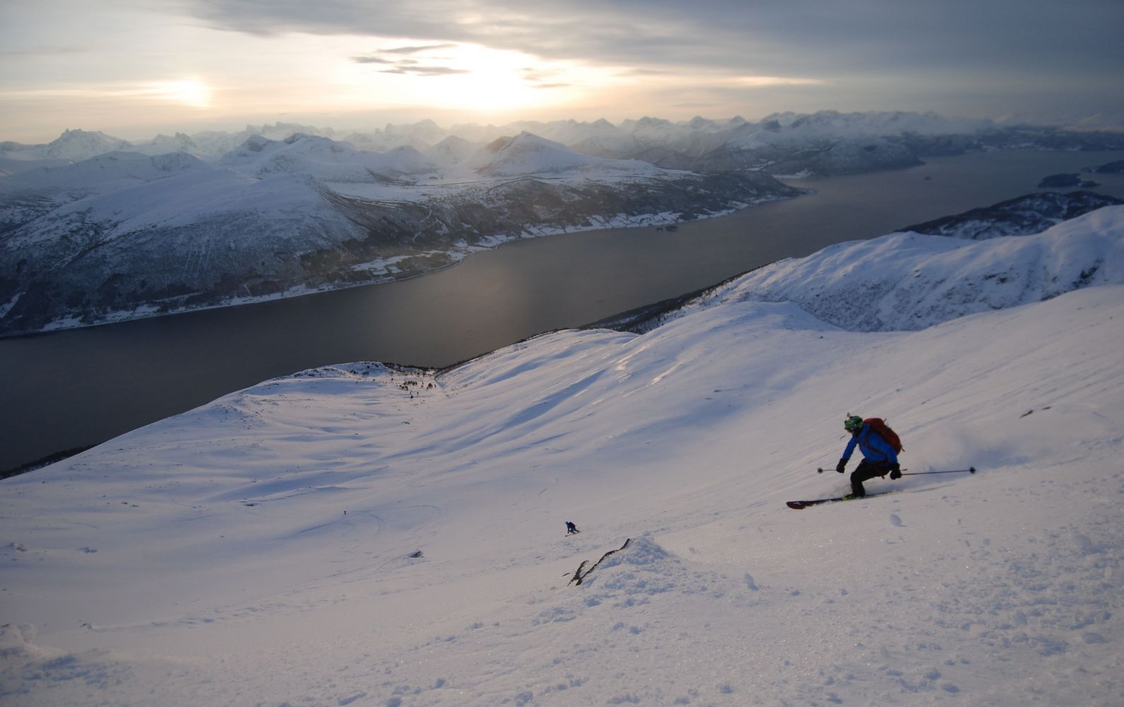
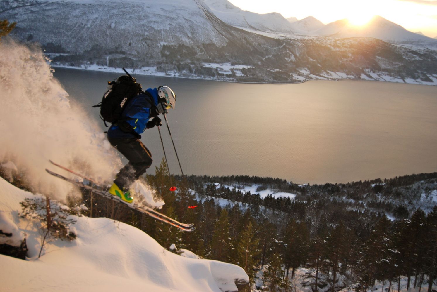
Start from Indre Horsgård, pass the boom gate and follow the tractor road around some large bends. Eventually, this will turn onto a smaller and somewhat overgrown tractor road to the left along the river. Follow this road for 100-150 metres. Take off from the road through a short stretch of dense forest and cross the river. You may have to remove your skis here. After crossing the river, the forest will open up more and you will continue across a marshland. The terrain will become steeper. You will have to trudge up some steep slopes before eventually turning left and heading up along a large ridge. Follow this large ridge formation up to the top. The cairn at the top of Skåla is just west of the ridge. There are several options for descents. One is to follow the same trail you came up. If conditions are stable, you can choose a steeper option by heading straight down/southward from the top. You will have to assess the risk of an avalanche in this case, and good skiing skills are necessary as there are some very difficult passages through the forest.
Horsgård. UTM32N 6954759.0N 430029.0Ø
From the ferry dock at Sølsnes, turn left towards Tjellekleiva and Nesset. Drive about 9.5 km. You will pass the farms in Horsgård and can park in the space by the boom gate for the tractor road. Make sure not to block the road.
It can be challenging to find parking on the nicest days. Please show consideration for residents in the area and traffic.
Duration
3 t. 25 min.

Signage
No signage or markings
Topographic map series - M711 Blad 1320III Åndalsnes
 Driving directions
 Route data
GeoJSON
Route data
GeoJSON