This loop trail is suitable for hiking, cycling, and skiing in winter.
Route description
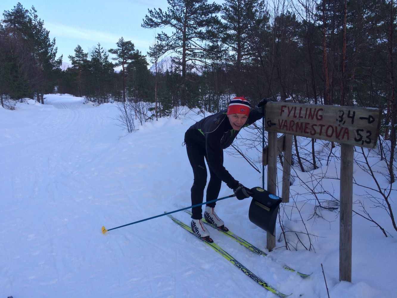
The trail follows the forest road in Fylling for about 4 km and turns to the south near Barlindhaugsetra. After 1.5 km, follow the road right through Steinsetsetra. From there, follow Steinsetsætervegen Road for 3 km down to FV106 Engsetdalsvegen. In winter, there are groomed ski trails over the farmland in Fylling so that you can do the entire loop trail.
Access and parking
You can park your car at the large car park along FV106, Fylling north, near the garage for the snow grooming machine. There is a locked boom gate there. If you park there, follow the trail description above.
Alternatively, you can park at the car park along FV106, Fylling south, and perhaps follow the trail in the opposite direction.