This is a nice looped trail that can be used for both hiking, cycling or skiing in winter.
Route description
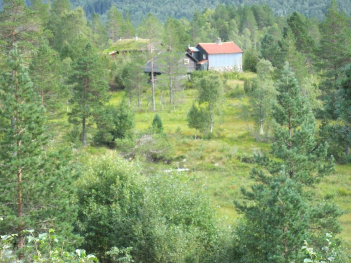
Follow the Fylling forest road for about 4 km and turn off to the south near Barlindhaugsetra. After 1.5 km, the road will take you right through the Steinsetsetra summer mountain farm. Then follow Steinsetsetervegen Road for 3 km down to County Road 106 (Fv106) Engsetdalsvegen. Walk north along County Road 106 (turn right at the junction) for 1 km to get back to the starting point. The trail only follows prepared roads.
Access and parking
You leave park your car at the large car park next to County Road 106 (Fv106), in the north part of Fylling, near the garage for the snow removal vehicle. There is a closed toll road there. In that case, follow the trail description above.
Alternatively, you can park your car at the car park next to County Road 106 (Fv106), in the south part of Fylling, and then walk in the opposite direction.
Hiking route
Blue
Distance
8,90 km one way
Elevation
193 m
Duration
2 t. 45 min.
Sesong
Winter, Spring, Summer, Autumn
Highest Point
209 masl
Signage
Both signed and marked
Mobile coverage
Map route
Surface type
Distance
Asfalt
1
Grus
7,9
Beskrivelse av sjøforhold
The trail is not particularly challenging, except for a couple of steep sections along Steinsetsetervegen Road.