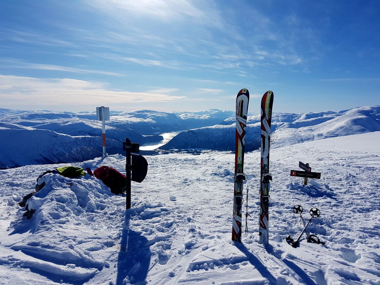
Take a safe and enjoyable ski trip in the area of the ski resort Hornindal Skisenter. It is not too crowded here, and you can experience almost untouched snow and an amazing downhill slope. The trail gradually climbs up and does not have very steep sections. You will get a great view from the top.
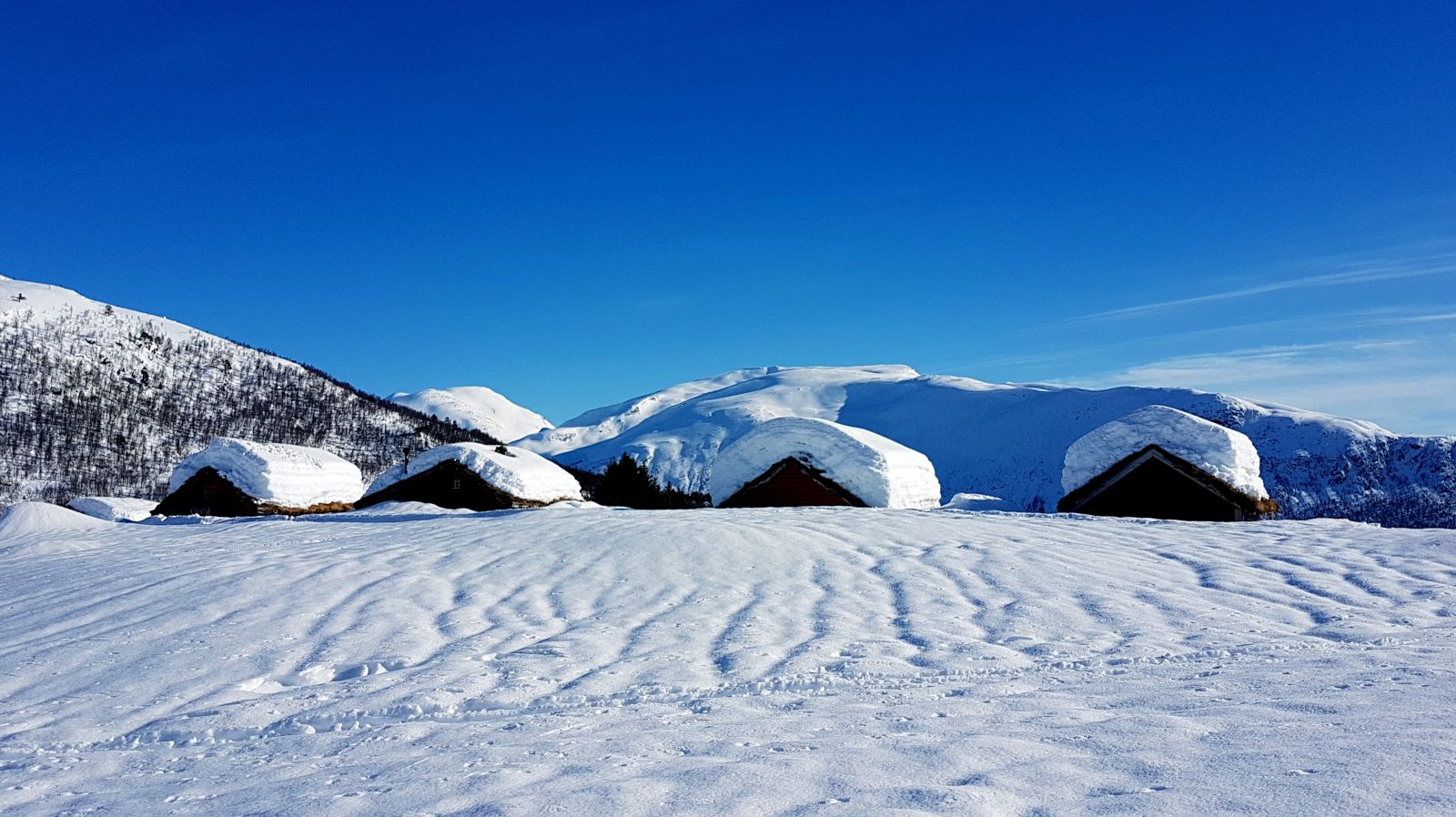
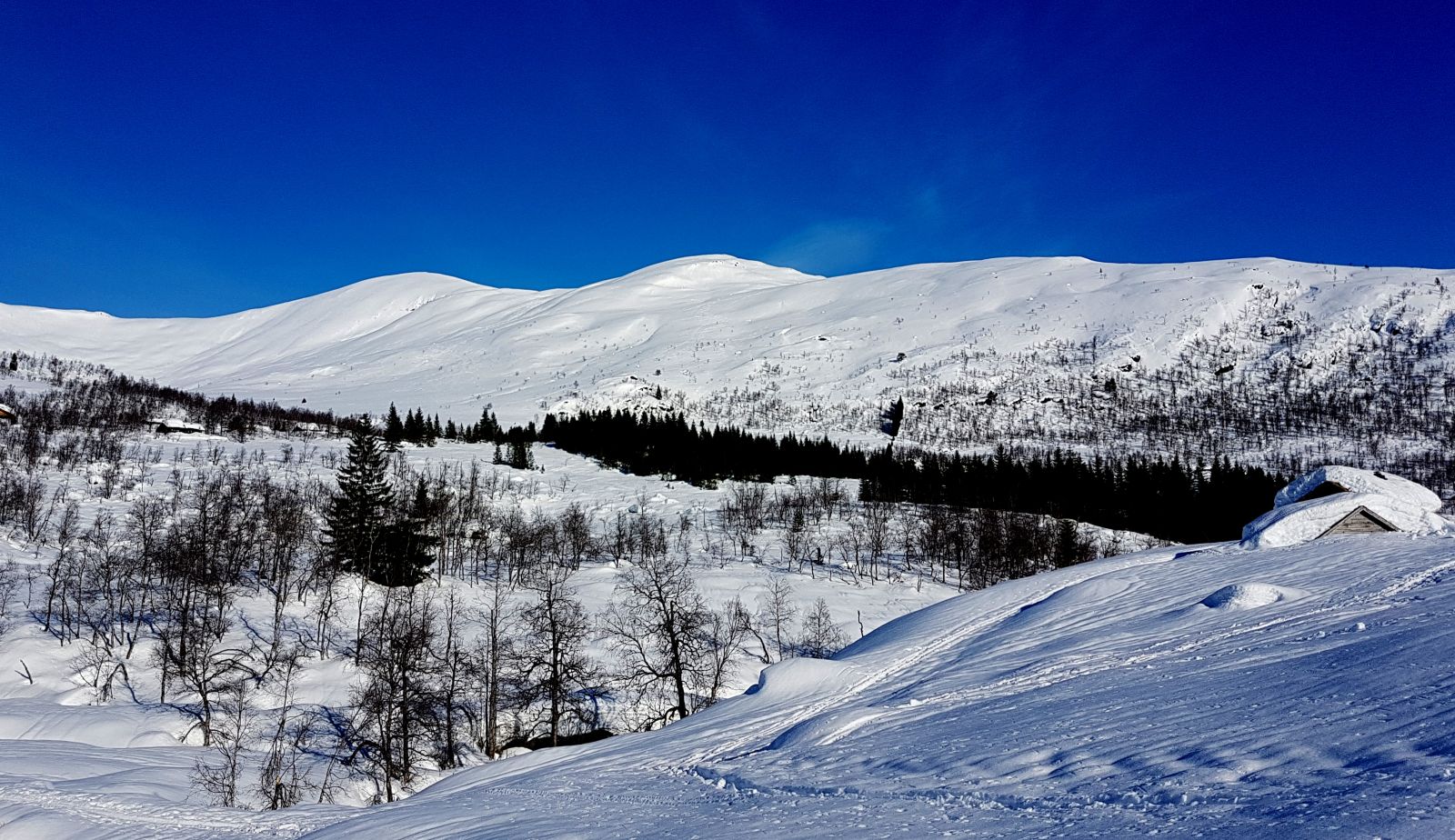
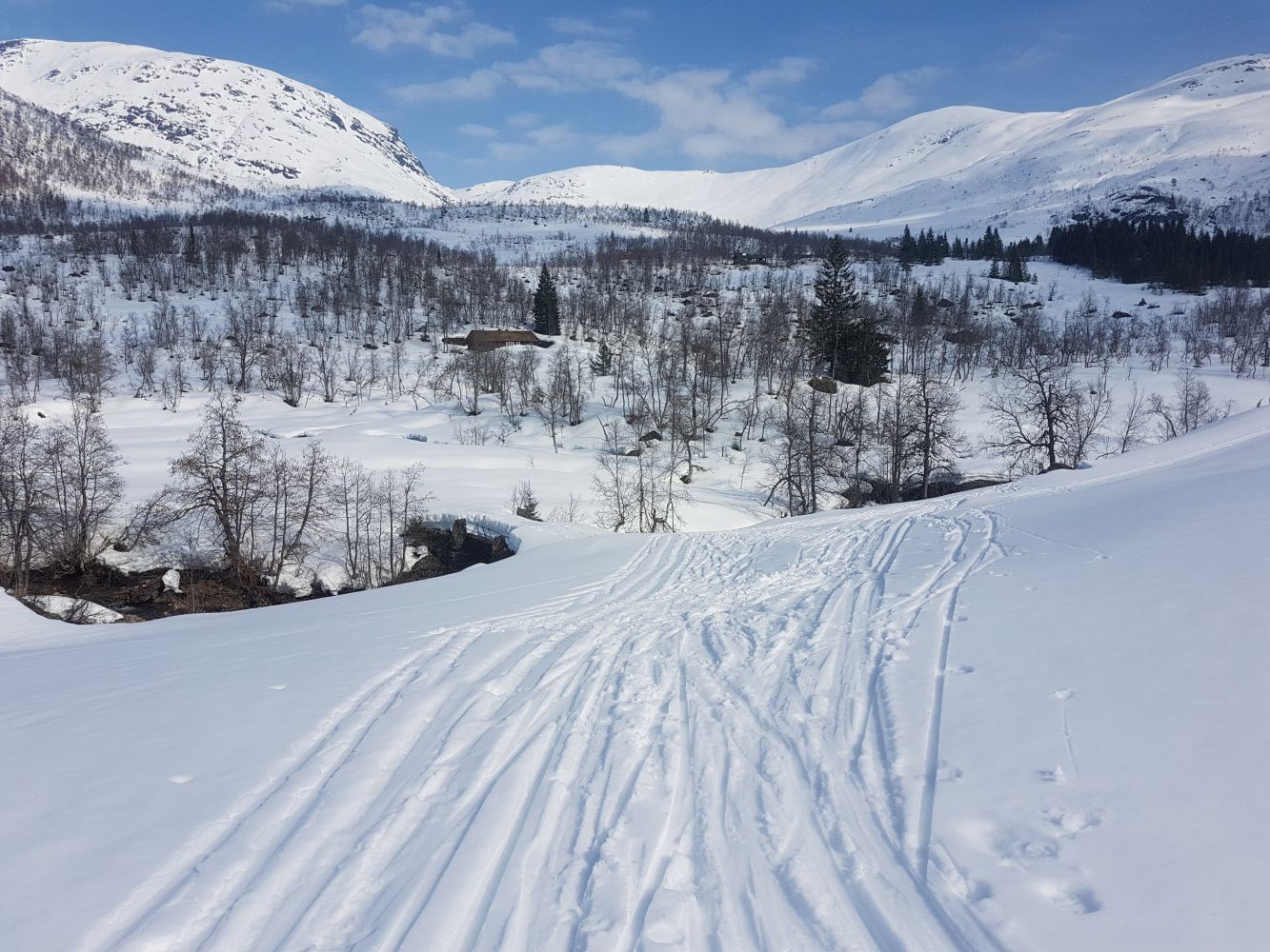
This route starts from the car park by the ski resort Hornindal Skisenter and runs through the mountain farm Bruasætra. It is also possible to start from Engebø. Just behind Bruasætra, you will see a bridge over the river. Cross the bridge and move up northeast in the direction of another mountain farm, Hjortedalssætra, until you reach a ski track. Follow the ski track to the right/east and cross the river below Hjortedalssætra. Move diagonally up towards Hjortedalssætra, between the cabins, and further up to the mountaintop in the north/northeast. The final section of the trail begins at the height of 1000 m a.s.l. and gradually climbs to the mountaintop, which results in an amazing downhill slope! The route back is almost the same. After Hjortedalssætra, you can follow the ski track that runs down towards Engebø/ski resort. Here, you will get a fairly long downhill slope and an uphill slope before returning to the car park. Turn off the ski track at the sign that reads “Lysløype, Skisenteret” (Eng. Illuminated Ski Trail, Ski Resort), move slightly up to the right, and after crossing a bridge, you will soon be back at the car park.
Although the trail is considered safe, make your own assessment of the snow conditions and the avalanche danger and make safe choices.
Turn off from E39 just west of the centre of Grodås and follow FV60 to Stranda/Sykkylven. Just after a small bridge, you will see a sign for the ski resort Hornindal Skisenter. Follow this sign until you reach the ski resort. Start skiing from the beginning of the ski track at the end of the car park. Park your car next to Hornindal Skisenter. The parking fee was NOK 50 in 2019. You can pay with the Vipps payment app.
Skiing route
Red fjellski
Distance
10,40 km both ways
Duration
3 t. 30 min.

Signage
No signage or markings
| Surface type |
Distance |
| Preparert med tråkkemaskin |
3 |
It is also possible to start from Engebø. In that case, you can ski downhill all the way to the starting point. Drive along FV60 until you reach the sign for Engebø. Turn off the road and park your car just after the toll collection point.
 Driving directions
 Route data
GeoJSON
Route data
GeoJSON