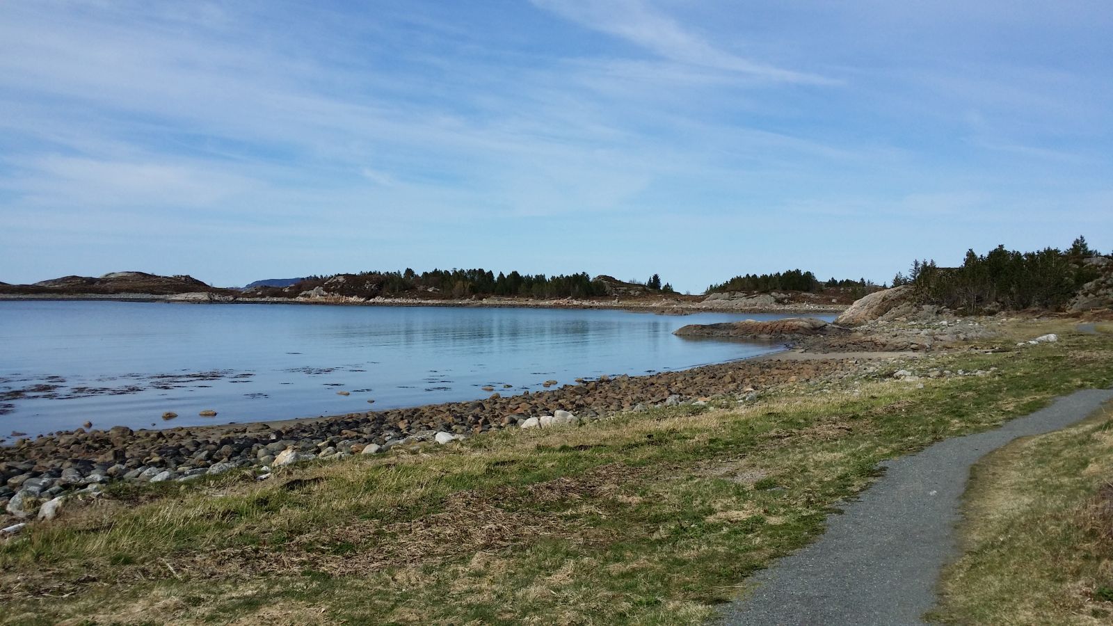
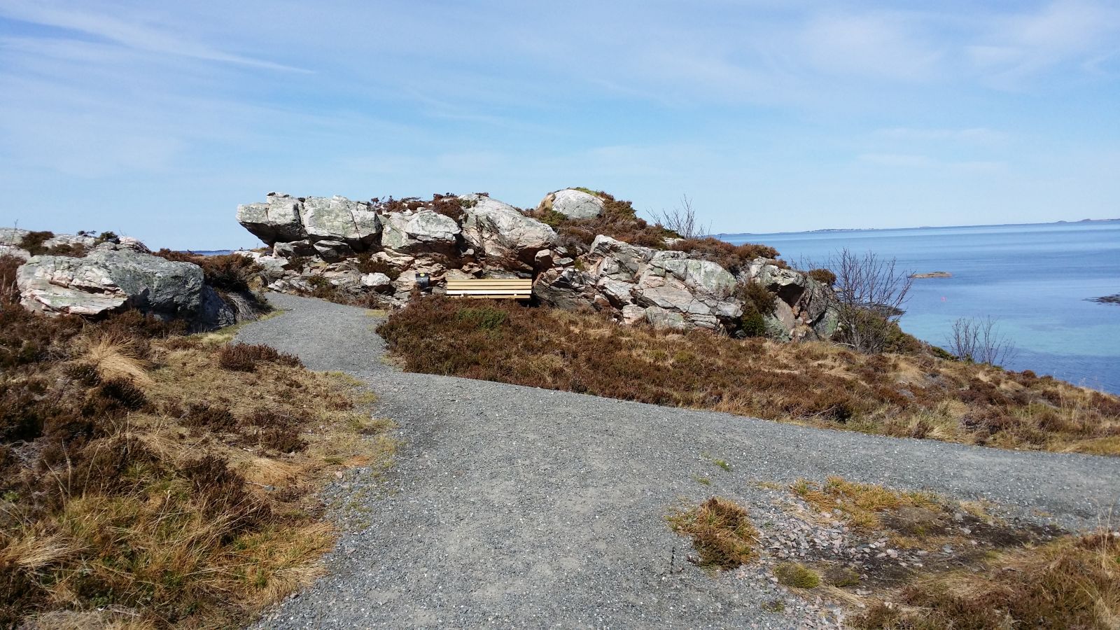
There is a nice beach and a rest area in Sandane. The Stikk Ut trail postbox is located on the outside of the Hamnaneset Spit where you can see the Nordøyane islands in the west, Aukra in the east, and everything in between. You will find the Bjørnerem Caves southeast of the national road. Traces of the first settlers in Romsdal were found there. About 200 metres southwest of the car park, you will see a cairn marking the former country border between Sweden and Denmark.
Route description
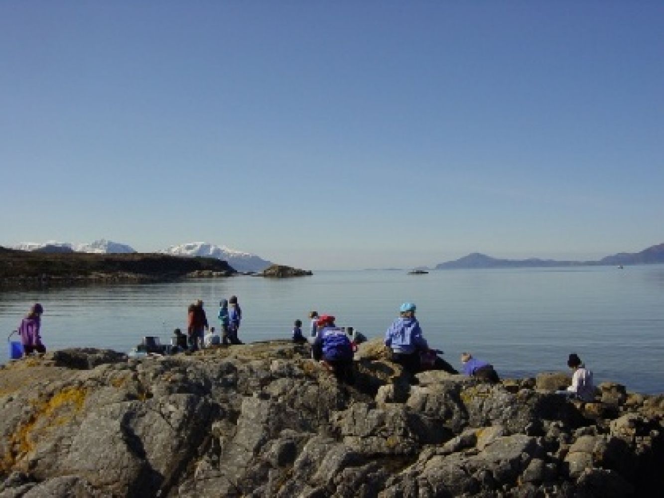
Start following the hiking trail from the car park to Sandane where you will find a beautiful sand beach, a perfect place for swimming on a hot summer day. During the rest of the year you might find a little crab or other sea creatures on the beach. A nice rest area with places for grilling is located at the north end of the bay. The path splits into two near the rest area. If you choose to turn left, the path will first go through a crack/cleft in the mountain. You cannot pass here with a baby carriage or a wheelchair. In that case you have to choose the other way to reach the trail postbox. After the cleft, the path meanders nicely through the terrain all across the Hamnaneset Spit and reaches the end of the spit with a great viewing point. You will find the Stikk Ut trail postbox here. Several benches are set up along the path. If you follow the other way back, you will walk past some islets where there was a sheltered guest harbour in the old times. You will soon reach Nørdre Sandan. From here, the path goes back to the rest area where it splits into two after you pass it on your way to the trail postbox. Once you are in Nørdre Sandan, you can choose to follow the path further east/north. There is a well prepared path here which will take you further to Kjelsvika and end in Bjørnerem. You can also walk for about 150 metres back along the national road until you reach the signposted path up towards the Bjørnerem Caves.
Access and parking
The trail starts from the car park on the sloping side of the county road.
A big new car park was built on the sloping side of the county road in Sandan in 2018.