Norsk

Salsfyret Lighthouse on Husøy Island (Ona Island)

Ålesund

The trail at a glance

The islands of Ona and Husøya are a perfect place to explore some exciting coastal history, an idyllic cluster farm and beautiful nature. Spend a wonderful day on the coastline, it has a lot to offer!

Route description

A trip to Ona Island on board the MF Kvaløy is a great experience in itself. Once you arrive on the island, you will see the Ona Lighthouse right in front of you on the cliff called Onakalven. A walk up to the lighthouse is a must for everybody who visits the island. It offers a unique view of the distinctive houses in the fishing village, the mountains on the mainland and the ocean. In everyday language you might hear people talking about Ona, when they actually refer to both Ona and Husøya islands which are located close to each other. The Stikk Ut trail postbox is to be found on Husøya Island. To get there, turn left after you leave the ferry and follow the road as it takes you between the buildings. Feel free to take a detour and walk between the houses that are built so close together! After a couple of minutes down this road, you will come to a bridge that crosses the narrow waterway and connects Ona with the much larger neighbouring island of Husøya. Walk over the bridge and you will soon see the community house Stormly on your left-hand side. Continue walking straight ahead until you reach a junction where the road splits in two. There is a farm there. If you turn left, you will come to an old school, a graveyard and a beautiful sand beach. Such detour with a nice break on the beach is well worth the effort! To go directly to the Stikk Ut trail postbox, take the turn to the right. You will now see the other Ona lighthouse called Salsfyret. It stands on top of Salen to the left of the road. Continue walking until you come to the turnaround where the road ends. This is where you will find a Stikk Ut trail postbox. Walk back to Ona Island and the ferry terminal the same way you came here. On your way towards the turnaround and the Stikk Ut trail postbox, you can also take a walk through Husøygarden on the right side of the road. Husøygarden is an idyllic cluster farm with a number of old houses that are mainly used for holiday accommodation today. You will also come across a gallery and Steffågarden, which is part of the Romsdal Museum (Romsdalsmuseet).If you would like to explore Ona even further, there are two potters whose work is sold at a local craft shop and kiosk. In the summer season there is accommodation and restaurant available at Ona Havstuer. 
Hiking route
Green
Distance
1 km one way
Elevation
24 m
Duration
35 min.
Sesong
Winter, Spring, Summer, Autumn
Highest Point
16 masl
Signage
Markings
Mobile coverage

Map route

Surface type Distance
Asfalt 2

Public transport

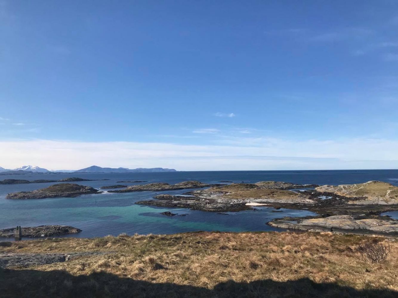
You can get to the islands of Ona and Husøya by ferry or by private boat. From Romsdal/Nordmøre: Take a ferry from Hollingsholmen, which lies about 19 km west of Molde, to Gossen/Aukra. Then drive for about 10 km across the island of Gossen to Småge where there is a ferry connection to Ona. You can leave your car on the quay if you are going back the same way. The ferry route Hollingsholmen–Aukra is operated by Fjord1, the ferry route Småge–Ona is operated by Torghatten Nord. From Sunnmøre: Take a ferry from Brattvåg, which lieas about 50 km north of Ålesund, to Harøya. Then drive for about 15 km across the island of Harøya to the island of Finnøya where there is a ferry connection to Ona. You can leave your car on the quay if you are going back the same way. The ferry route Brattvåg–Harøya is operated by Fjord1, the ferry route Småge–Ona is operated by Torghatten Nord. Relevant ferry timetables: Hollingsholmen–Aukra: http://fjord1.proweb01.nri.c.bitbit.net/Fjord1IISStaticTables/Tables/ruter/t/15-342.htm Brattvåg–Harøya: http://www.rutebok.no/nriiisstatictables/tables/ruter/t/15-271.htm Småge–Orta–Finnøya–Sandøya–Ona: http://www.rutebok.no/nriiisstatictables/tables/ruter/t/15-343.htm

Map

Harøyfjorden tourist map 1:50 000
Driving directions

API endpoints

Route data GeoJSON