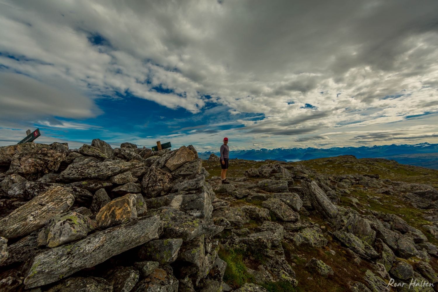
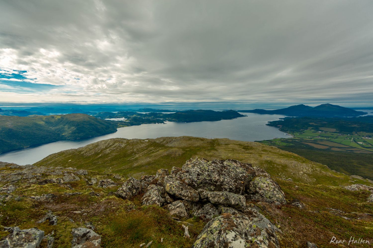
Mount Saksa (Blåfjellet) offers a view over almost the entire Halsa municipality. You will get a great view of Aure and Tingvoll municipalities, as well as Halsafjorden with the ferry connection Halsa — Kanestraum as one of the eye-catchers. You will see ferries running across the fjord which lies 900 metres further down. The mountains on the islands of Tustna and Stabblandet will be visible in the north. In the south you will get a glimpse of the Trollheimen mountains and the majestic Mount Sunndalsfjella.
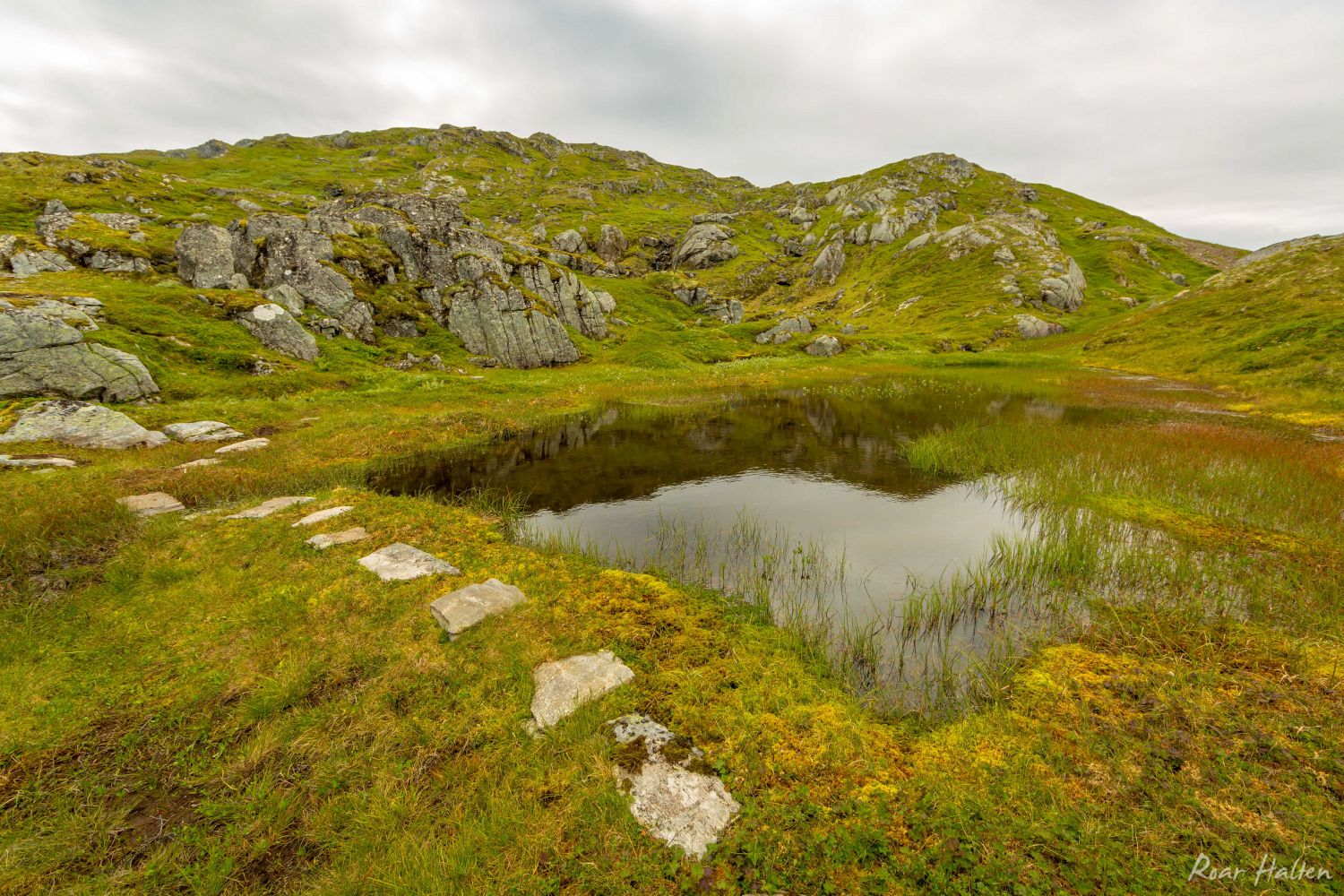
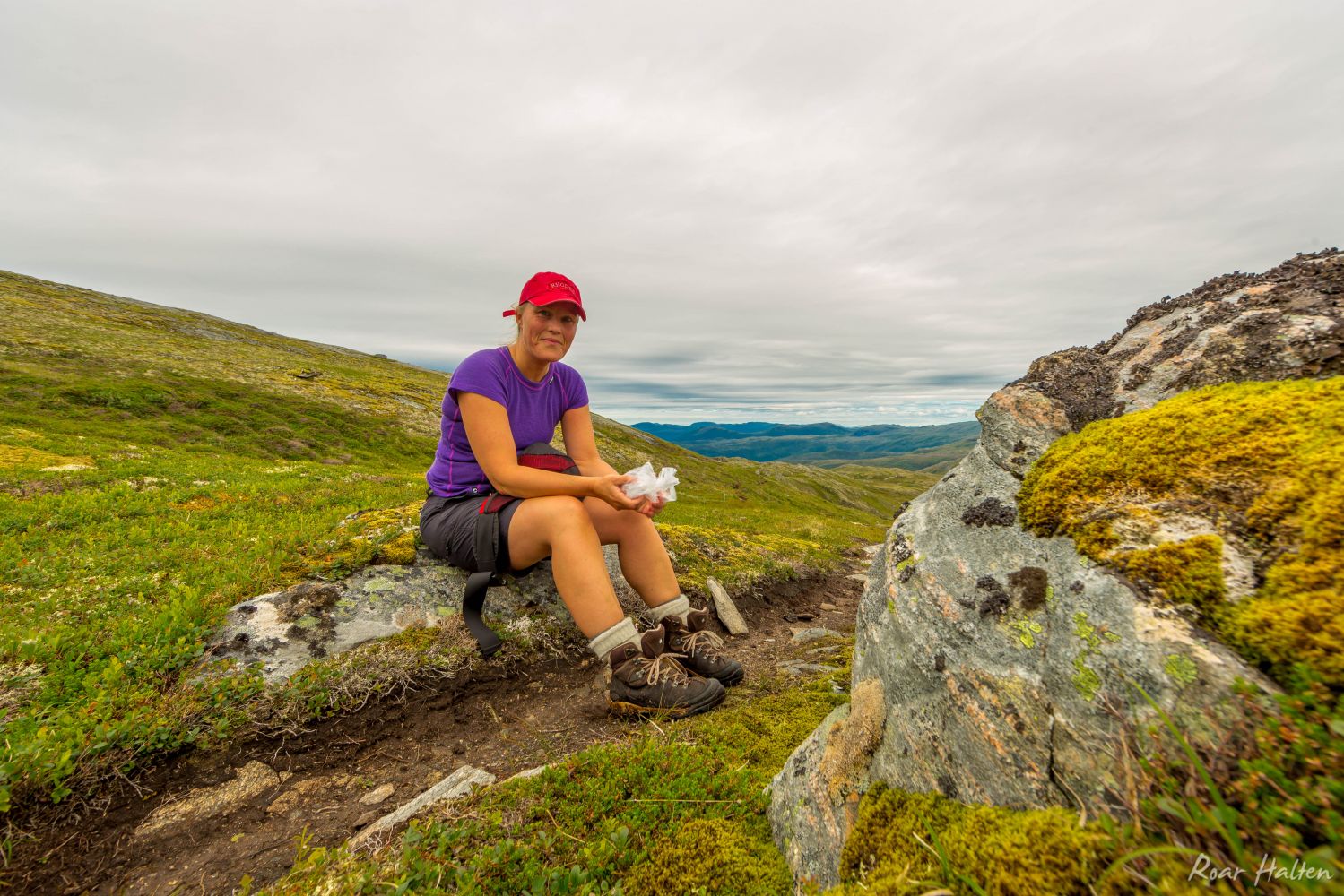
There are several starting points for the trail to Saksa. The path up to Saksa goes from both Innreiten and via Wullumsetra. If you do not know the area very well, it would be easiest to follow the “T”-marked trail from Halsanaustan towards Jutulbu.The path from the car park is well marked all the way up to Fjelldalen at about 600 metres above sea level. Here you will see a sign to Saksa. On you way from Fjelldalen up to the top some sections of the path will be hard to see. But there are a number of cairns on the way up. If you lose the path, just carry on walking towards the top.This is a looped trail where you will walk around Lake Gammeltjønna, then up to Fjelldalen and further up to the mountain top. On your way down, you will walk on the west side passing Innreitssetra in the direction of Innreiten. The final kilometre on the way back to the car park follows a motor road.
The trail is signposted on the left side of the road. Follow the same signs as the ones marking the Fjordruta Trail (“the Fjord Route”).
Use the car park for the Fjordruta Trail.
Duration
7 t. 40 min.

Sesong
Spring, Summer, Autumn
Signage
Both signed and marked
| Surface type |
Distance |
| Sti |
8 |
Saksa rundtur på Garmin Adventures
 Driving directions
 Route data
GeoJSON
Route data
GeoJSON