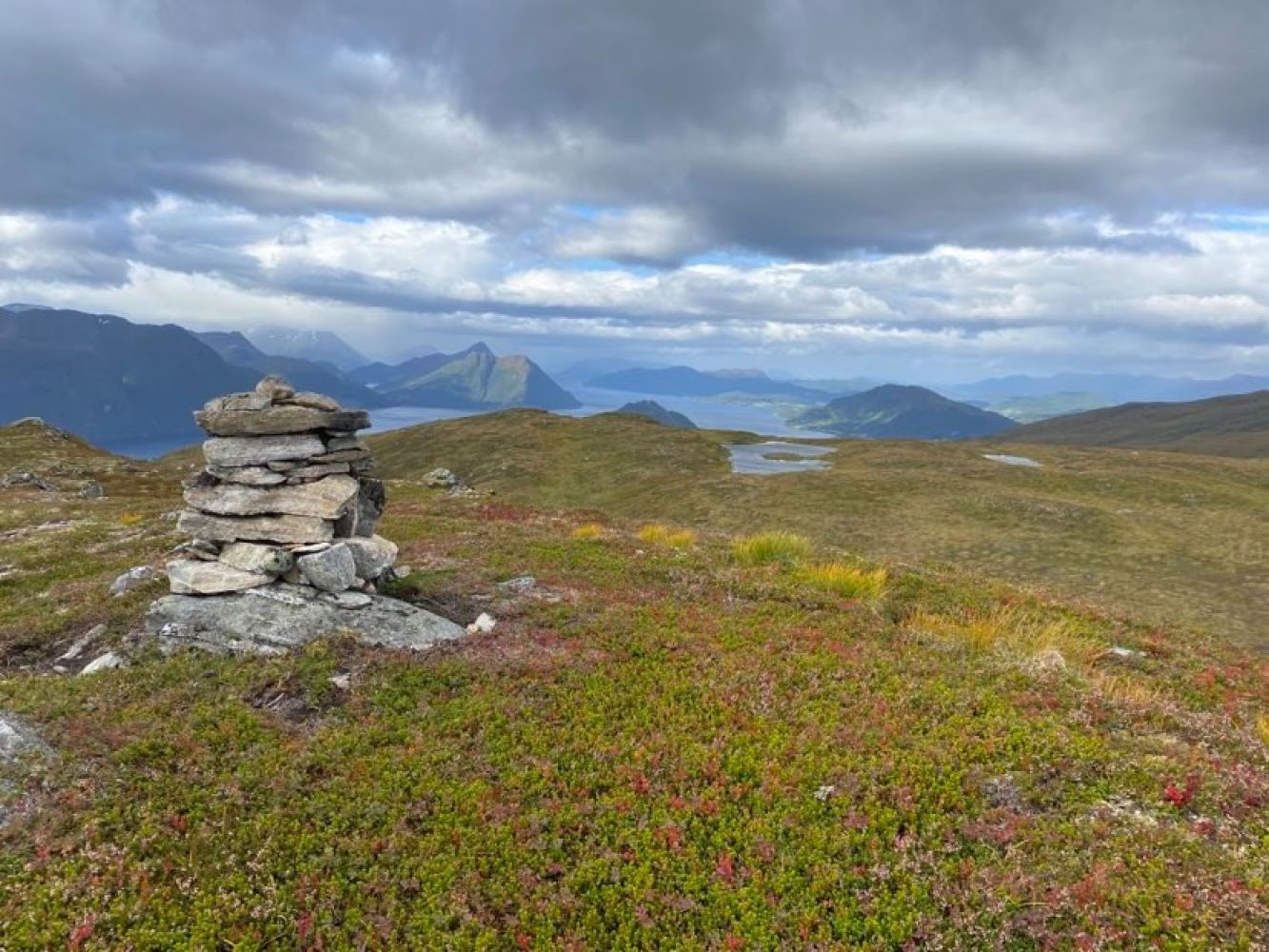
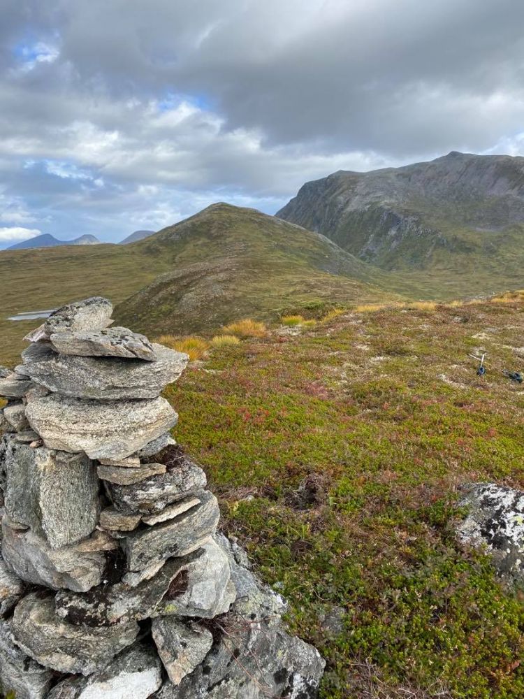
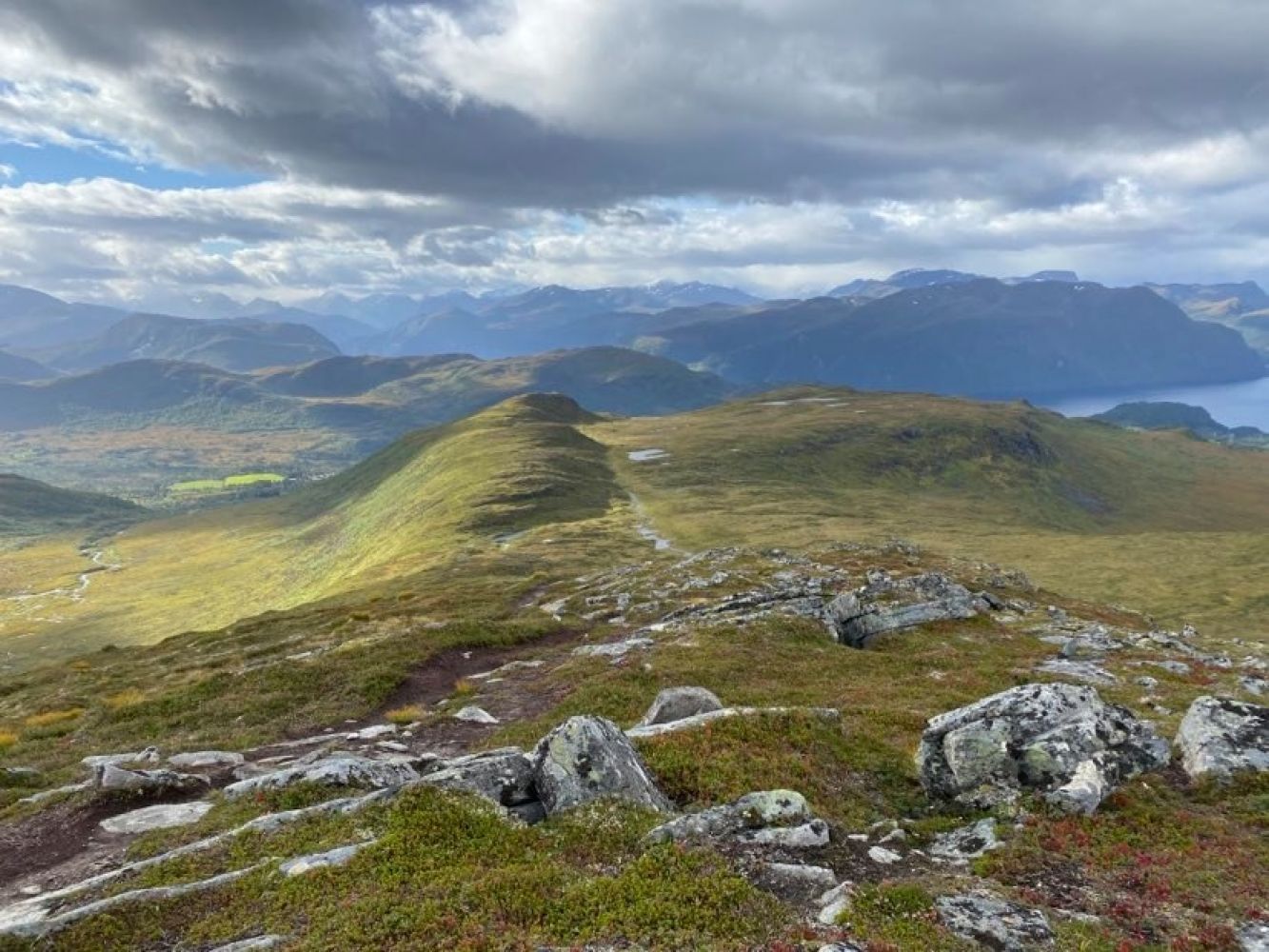
Start walking from the car park in Solliedsetra next to the VIPP cabin. You will walk along a fairly good-quality path that initially follows the route to Mount Høgsvora. Follow this path until the terrain flattens out at the entrance to the Kvanndalen Valley and the path starts running along the river. Turn off the path by walking up to the left and slightly further into the valley following a new path in the direction of Geitanibba and Sætrefjellet. The path is marked with red paint on the stones and with sticks. Mount Sætrefjellet will now be on your left. It is quite steep but still okay to walk. Once you finish this climb, the terrain opens up and you will get a view towards Mount Snaufjellet and Mount Vestrefjellet with slightly hilly terrain in the southwest. If you turn around, you will get a great view of Mount Høgsvora. There is a small mountain lake here and a nice opportunity to take a pause. The mountain gap is called Kleggskaret. From Kleggskaret, turn off to the left and walk along flat terrain up to Sætrefjellet. This is a new hiking route so the path from the mountain gap to the mountaintop is not well-defined yet.