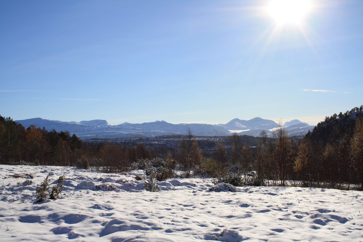
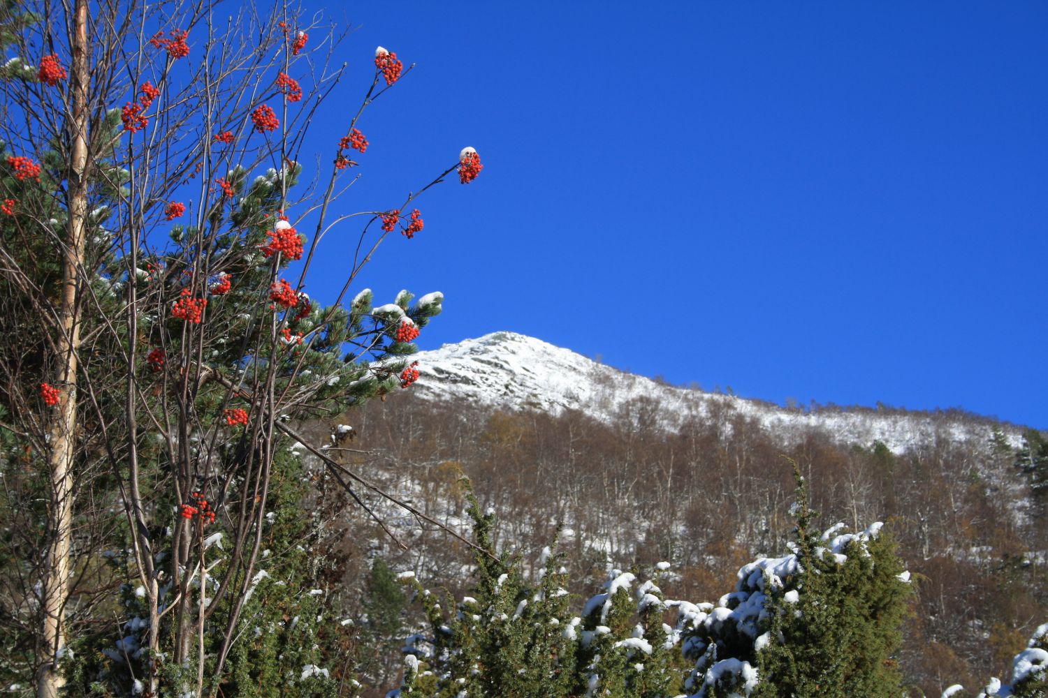
Many fitness trail posts of the Bæverfjord Sports Association (Bæverfjord IL) are set up on old mountain pastures like Seterbøsetra. You can only see remains of the old farm buildings there today. This hiking trail is fairly steep but not too long so it is suitable for everything from a hard workout to a day trip with family.
From the car park, walk back along the road for a couple of hundred metres. Follow the sign pointing to the Tverrlihytta cabin on the right side of the road. Walk across the meadow and follow the forest road and waymarks towards Tverrlihytta. The waymarks take you along the steepest route. For a gentler ascent, you can follow the dotted lines you see in the GPS file on the map. You will reach Seterbøsetra after 1.8 km. The farm building is now abandoned.
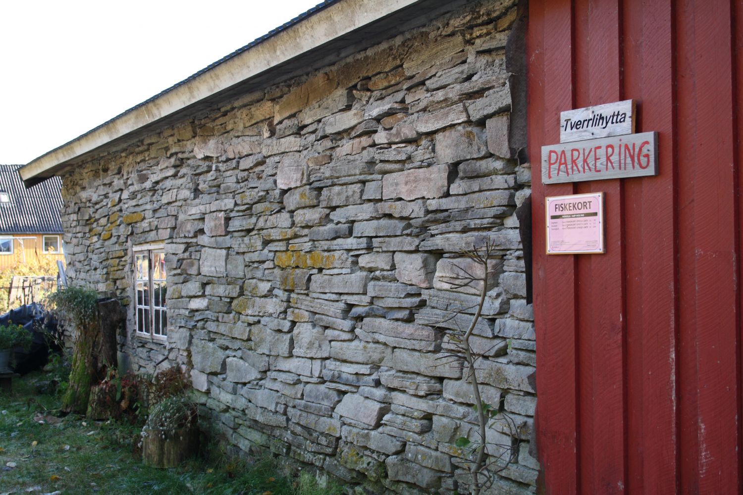
Drive up the Bøverdalen Valley until you reach Seterbøen, about 4 km from the junction in Bøverfjorden. Leave your car at the signposted car park for Tverrlihytta on the right side of the road, by Borstua.