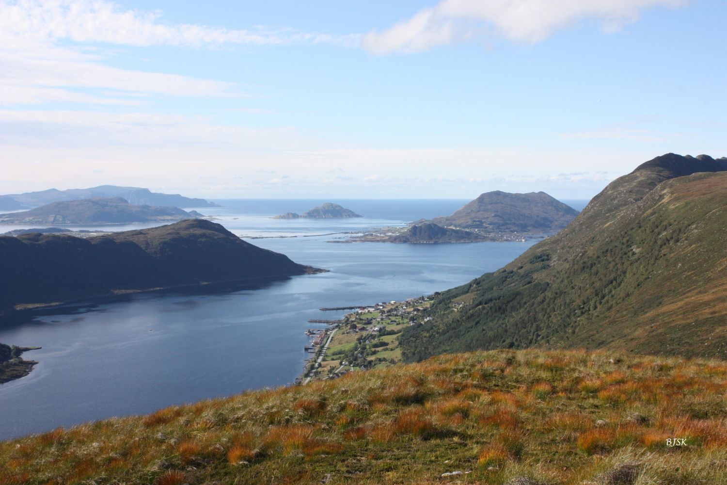
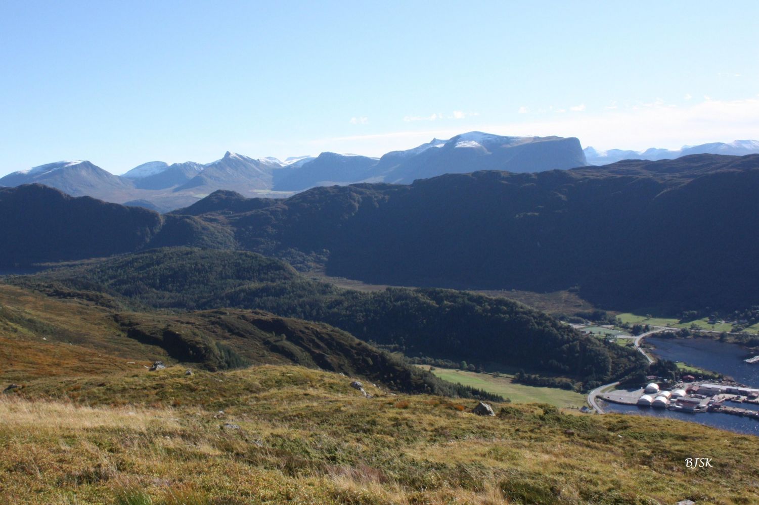
Sæsshornet is a peak that rises above Sætre in Gursken and offers a scenic view over the Gurskefjord and Lake Sæssvatnet.
Start walking from the water plant in Holtane. First, walk down behind the water plant and follow the course of a drainage ditch until you come to Lake Sæssvatnet. Turn left once you reach the lake, take the path up the ridge on the south side of the lake, and follow it all the way to Sæsshornet. The final 150 m to the peak are off-path.
The starting point of the trail is in Holtane, Gursken. Turn off County Road 61 (FV61) at the BEST petrol station near Lake Skogevatnet. Drive for about 500 m and turn right at the junction after the Gursken Stadium. Drive up Brekkane and turn left at the first junction. Continue to the water plant in Holtane and park your car there.
Duration
2 t. 5 min

Sesong
Spring, Summer, Autumn
| Surface type |
Distance |
| Sti |
5,5 |
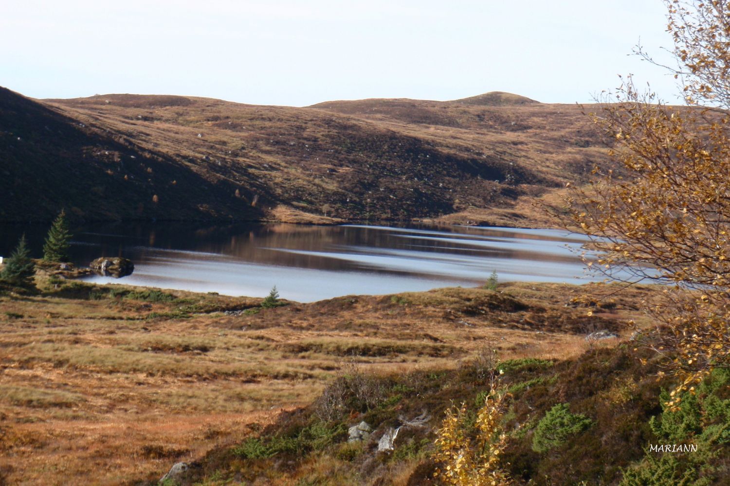
Lake Sæssvatnet that you pass on your way to the peak is a source of drinking water for Gursken and Haugsbygda.
Ytre Søre Sunnmøre hiking map, M711 1119 III, Sunnmorskart.no
 Driving directions
 Print
Print