Eresfjord.
Mount Ryssdalsnebba neighbours Mount Skjorta in Eresfjord. The trail starts at 100 m a.s.l. and follows a farm road up to the Kanndalen Valley. It then continues straight ahead, climbs Gråfjellet, and runs to the top of Ryssdalsnabba at 1618 m a.s.l. The trail has a gradual ascent and offers diverse skiing experience with a fantastic view.
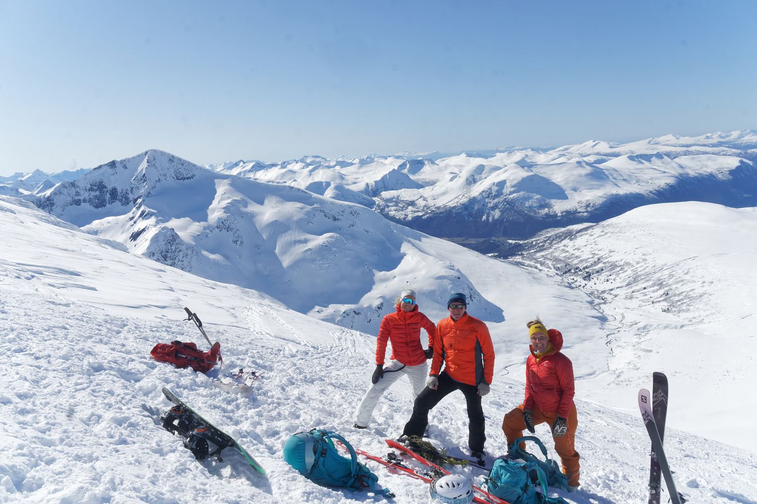
The mountaintop is located at the border of Sunndal and Molde municipalities.
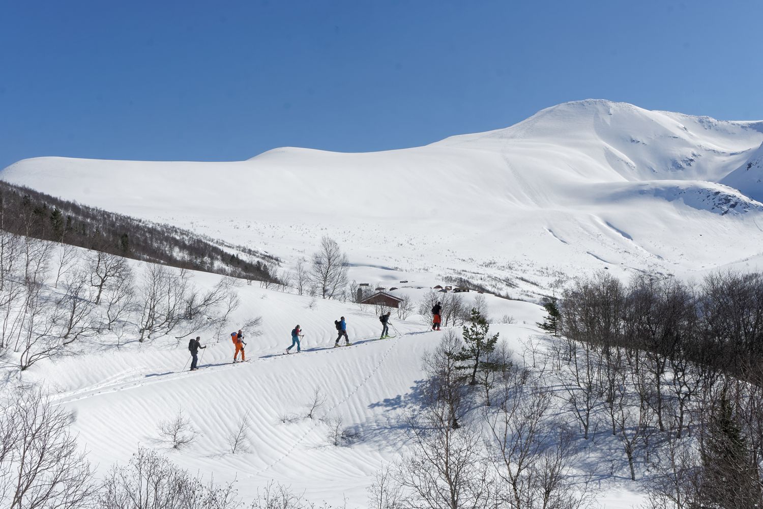
From the car park, cross the bridge in Bjørbakken, go uphill and slightly to the left, and follow Kanndalsvegen Road for 4 km until you reach the first mountain farm called Storstølen. Continue further ahead to Gaddhaugen, the next farm you see. From there, follow open terrain as it gradually ascends to the river Fremste Tverelva. Cross the river at the first opportunity. Alternatively, follow its left side until you are above the tree line where the terrain flattens out a little and it is easier to cross the river.
All you have to do now is start the first slightly steeper climb right up to Mount Gråfjellet. From there, move diagonally up through somewhat gentler terrain. This is a tough and demanding section so gather yourself for the climb. The final ascent to the mountaintop is the steepest.
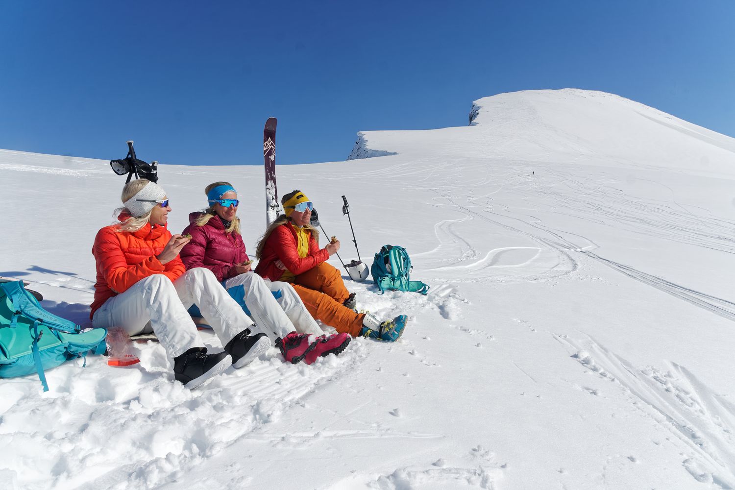
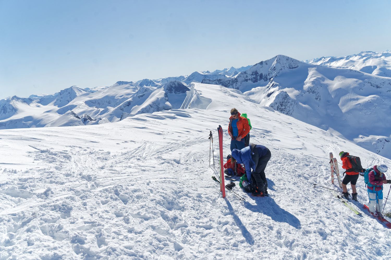
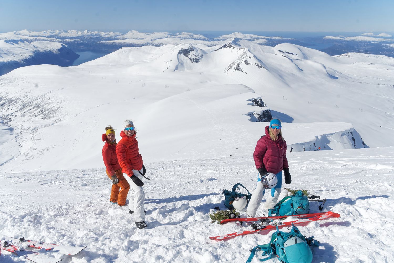
There is no plateau at the top, and you have to watch out for snow cornices. Take a moment to enjoy the view and prepare for the downhill slope. It’s going to be fun!
It is also possible to start this skiing trip from Jordalsgrenda. There is a toll road there that leads up to a car park just above the tree line.
From Syltebø in Eresfjord, take the county road that runs up the eastern side of the village. After about a kilometre, turn up to the left and follow the municipal road that is signposted to Grandseter.
Follow this road for just over a kilometre until you reach the car park just before the bridge in Bjørbakken.
In late spring, you can drive for another 1.6 km up to Granseter, but parking space is limited there.
Skiing route
Blue topptur
Distance
10,24 km one way
Duration
6 t. 25 min.

Signage
No signage or markings
Mobile coverage
Partially
Norge map series 10078 Sunndalsøra
 Driving directions
 Route data
GeoJSON
Route data
GeoJSON