Around Årneshola and Ja-benken
Surnadal
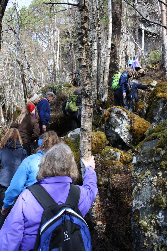
The two highlights of this circular trail are the Årneshola cave in Årnes, also known by the name of Vikingehola, and the rest area called Ja-benken which offers the best view along the entire trail. The hike is relatively short and does not involve much uphill climbing, but the section near the Årneshola cave is fairly rough and steep so it can be demanding if you have any walking difficulties.
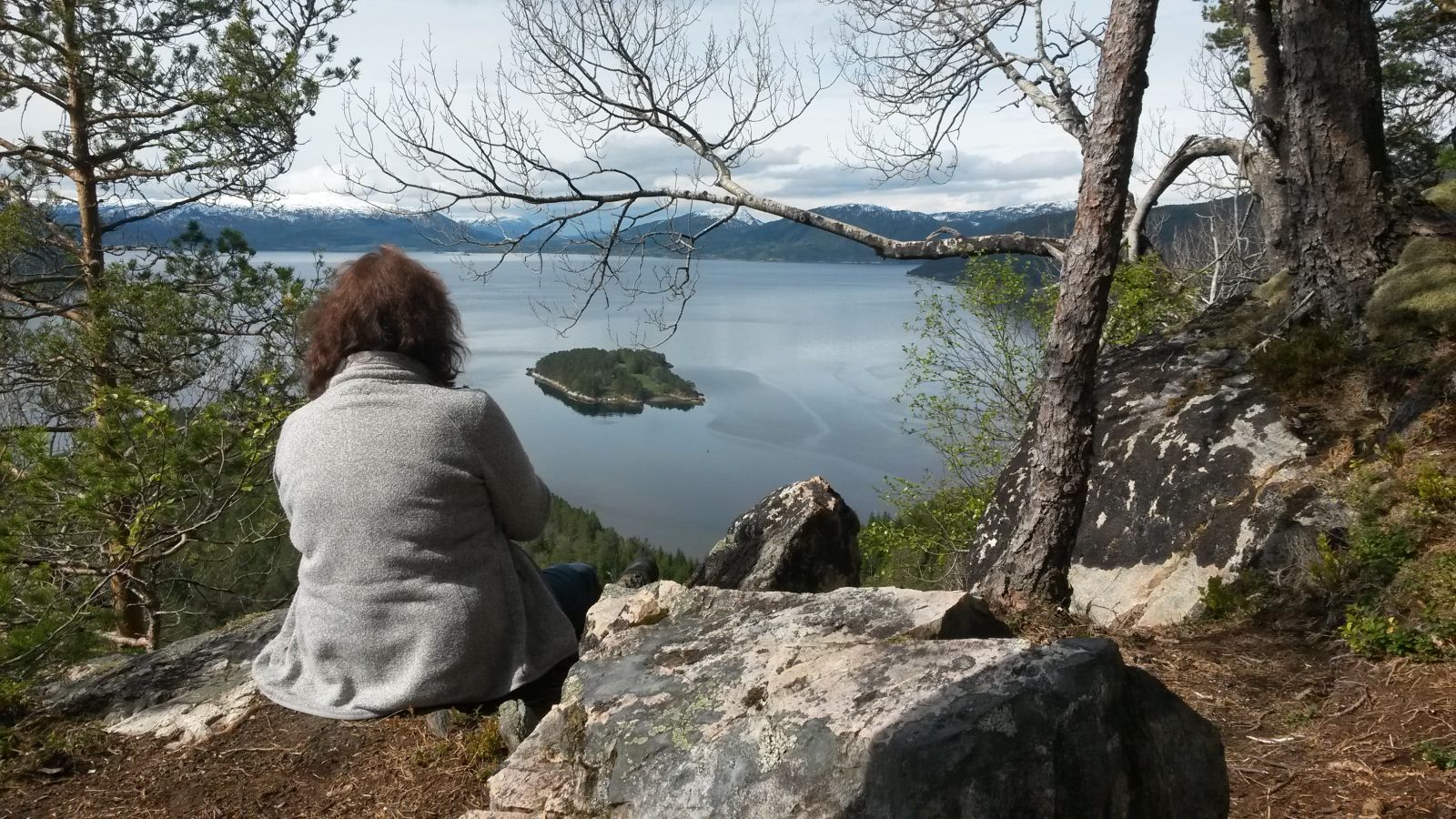
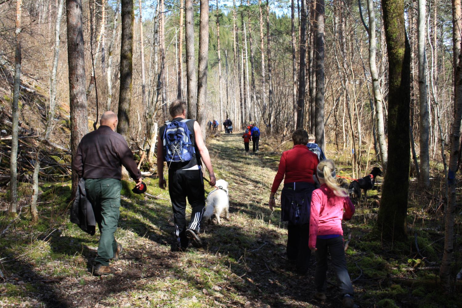
Continue following Hamnesvegen Road by walking along the steep mountain walls from the car park. After you have walked past a private car park on the lower side of the road and a red house on its upper side, continue for the final 100 metres before the road leading up to the Årneshola cave begins on your right-hand side. The first section of the trail follows an old road between Hamnes and Årnes. Keep to the right where the road splits in two. When the road flattens out further up the hillside, turn onto the path that is signposted to Årneshola on the upper side of the forest road. Follow the marked path further up to Ja-benken, a rest area with a bench and a fantastic fjord and mountain view. From Ja-benken, follow the marked path back to Årnes. You will walk down into a forest road that meets the rural road about 200 metres from the car park.
An alternative shorter route: Leave your car at the same car park but turn off to the right onto a forest road at the upper side of the rural road after about 200 metres. In this case, you will follow the route in the opposite direction to the one described above. The advantage is that you will skip the section along the rural road, but it is slightly more difficult to tackle the steepest section near the Årneshola cave which will then be a downhill slope.
Drive along Hamnesvegen Road until you reach Årnes. Pass two 90-degree turns – to the right and then to the left. About 150 metres after the second turn, you can park your car next to an outhouse on the upper side of the road. Make sure you do not block the entrance to the outhouse.
Duration
1 t. 25 min.

Sesong
Spring, Summer, Autumn
Signage
Both signed and marked
| Surface type |
Distance |
| Asfalt |
2,5 |
| Grus |
0,5 |
| Sti |
2,15 |
In 1961, traces of ancient settlements from the Viking times were found in the Årneshola cave. Among other things, a completely unique object was discovered – a vessel made of bone with the Norse animal ornamentation. Long time ago, a massive boulder fell
 Driving directions
 Route data
GeoJSON
Route data
GeoJSON