Circular Route via Knottahornet, Svedehornet, Veten, Torsethornet, and Keipen
Sande
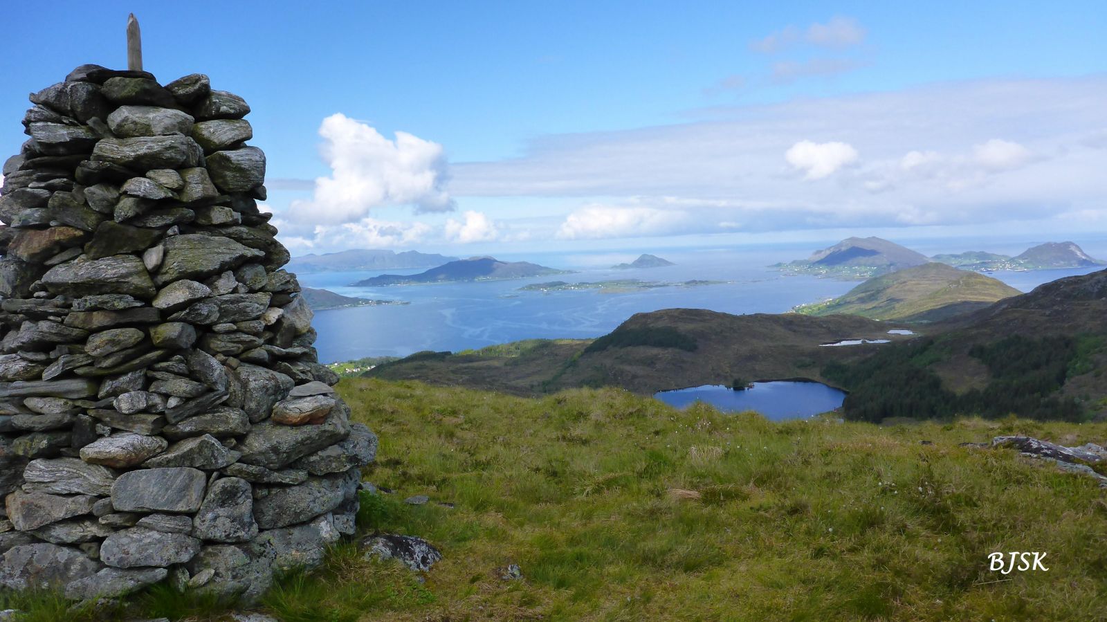
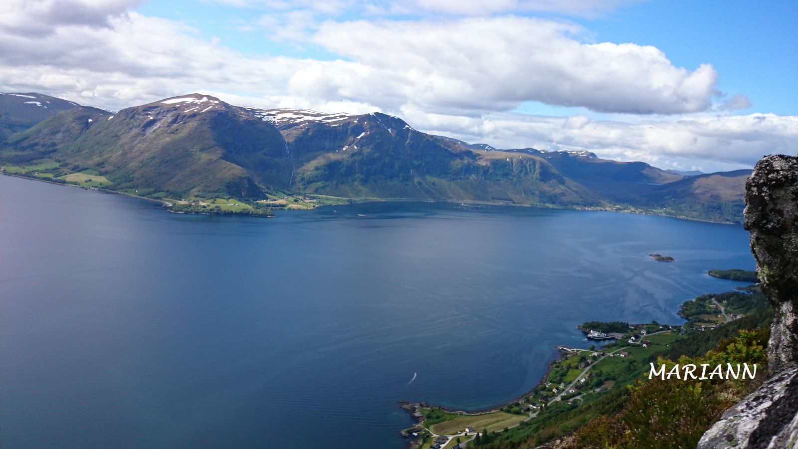
This hike offers stunning views from all the mountain peaks between Gursken and Larsnes. From Knottahornet, you will see Gursken, Haugsbygda, Sandsøya, and Kvamsøya and have a beautiful view out to the ocean. Svedehornet offers a view of Sandsøya, Kvamsøya, the Syvdsfjord, and the ocean. From Veten, you will see Rovdestranda, the Syvdsfjord, and Brandal. You will also have a view out to the ocean from here. Torsethornet offers a view of Skredestranda, Brandal, the Syvdsfjord, Rovdestranda, and the Rovdefjord. From Keipen, you will have a scenic view of Gursken, Lake Skogevatnet, and Lake Middagsvatna. You will also see the surrounding mountains from all the peaks on this trail. You can also check separate descriptions of the trails to the peaks Knottahornet, Svedehornet, Veten, Torsethornet, and Keipen.
The trail starts from the car park at the highest point of Drageskaret. Follow the Langhamrane mountain ridge until you reach Kvilesteinen. Once you have passed Kvilesteinen and reached the edge of the mountain, the path splits in two. 1: Turn left if you want to go to Knottahornet first. From Knottahornet, the path continues southeast and meets the main path just before Svedehornet. 2: If you want to visit the other peaks first, turn right at the junction and walk along the path that follows the ridge to Svedehornet. From Svedehornet, follow the path southeast until you reach the elevation before Lake Langevetevatnet, where the path splits again. 1: If you want to go to Keipen first, turn left and follow the path east as it takes you between the two lakes, Langevetevatnet and Bjørkavatnet, and then between the two parts of Lake Middagsvatna. From there, continue east to Keipen. The path ends at the fitness trail post of Gursken IL. The summit of Keipen lies about 100 m to the southeast. Follow the path for about 150 m back from Keipen and take the path that runs south to Torsethornet. From Torsethornet, follow the path west along the ridge until you reach Veten. From Veten, the path makes a steep descent to Lake Langevetevatnet and continues to the junction with the path to Keipen. 2: If you want to go to Veten first, turn right and reverse the route described above. If you do not like steep uphill sections but feel comfortable on steep downhill slopes, consider going to Keipen first. The climb from Lake Langevetevatnet to Veten is the steepest on the route.
Park your car along County Road 61 (FV61), at the highest point of Drageskaret, between Gursken and Larsnes.
Duration
3 t. 40 min.

Sesong
Spring, Summer, Autumn
Signage
Both signed and marked
| Surface type |
Distance |
| Sti |
9,8 |
Lake Middagsvatna, which you pass on this route, is also known as Lake Mørkevatna.
Hiking map of Ytre Søre Sunnmøre, M711 1119 III, sunnmorskart.no
 Driving directions
 Route data
GeoJSON
Route data
GeoJSON