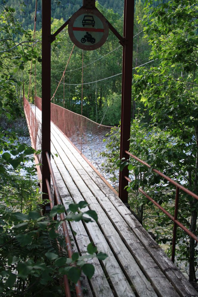
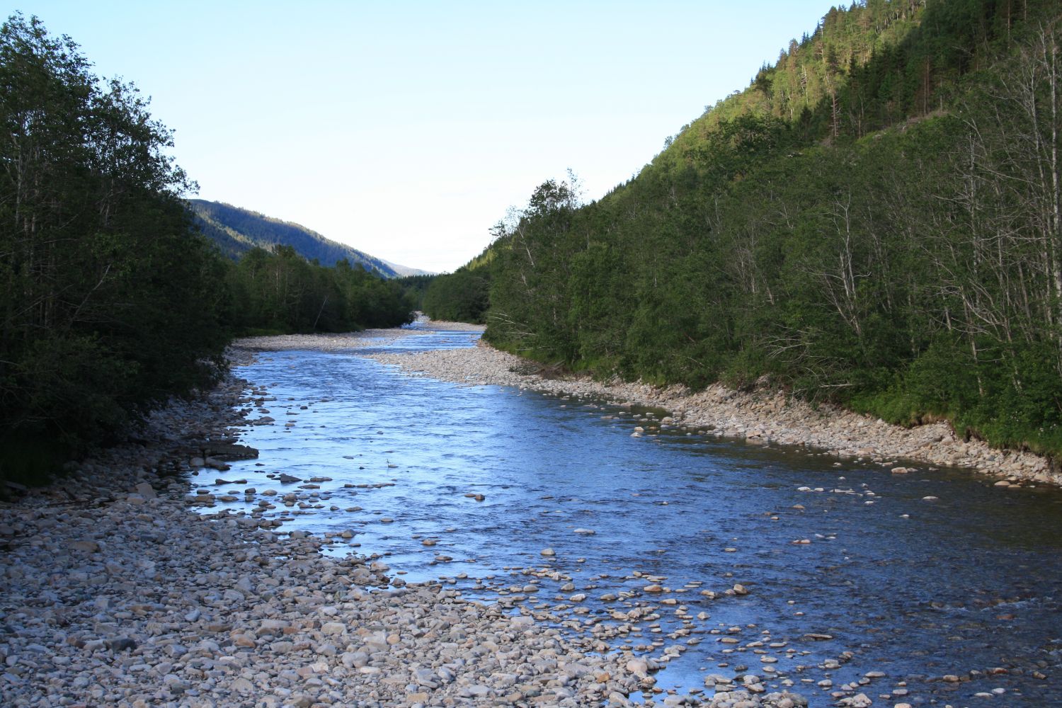
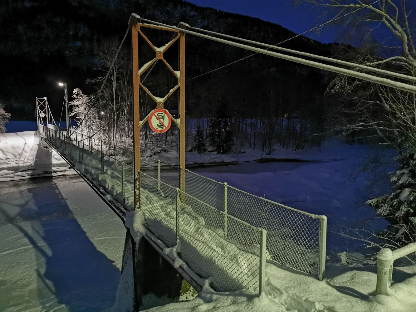
This circular trail is perfect for walking, cycling, or running. The starting point can be any point along the circular route. The trail primarily follows an asphalt and a good-quality gravel road over relatively flat terrain. Walking across the hanging bridge over the Bøvra River is the highlight of this hike. The hike takes about 1–1.5 hours at a rapid pace.
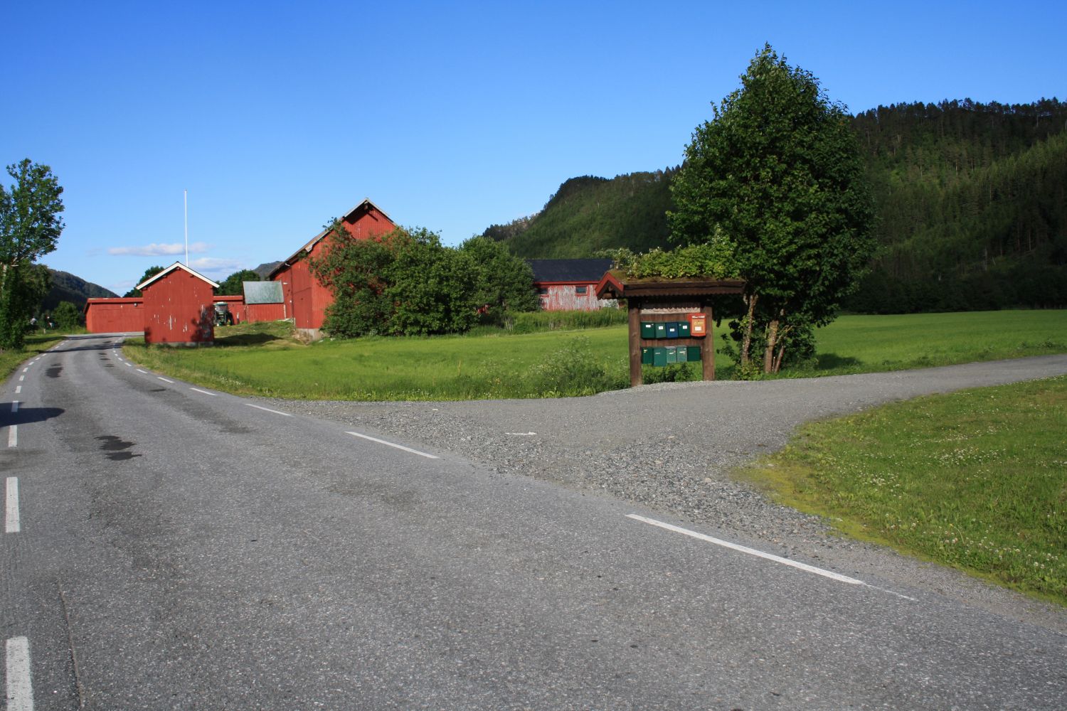
You can start walking from anywhere along this circular trail, but we chose the Bæverfjord educational centre (Bøfjorden og Bæverfjord oppvekstsenter) as the starting point. From there walk out to the national road and follow this in the direction of Nordmarka. Turn left onto Vollavegen Road and walk up along this road until it ends at the power station. Walk past the power station and turn to the Bøvra River. Cross the river over the hanging bridge. Follow the gravel road on the other side of the river and turn left down the valley again when you reach a T-junction. Follow the road back to the former co-operative store.

| Surface type | Distance |
|---|---|
| Asfalt | 8,0 |