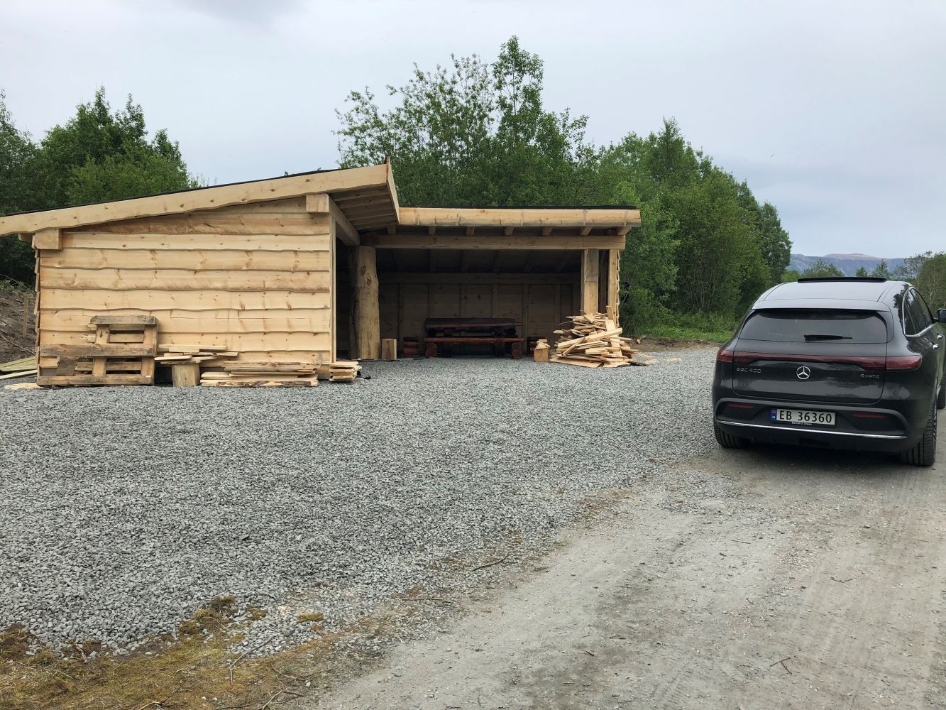
Rotarystien is a great, easily accessible hike through a beautiful natural landscape. You can start from either end, but we recommend starting near the road by Kalholelva river, as it has a good parking area.
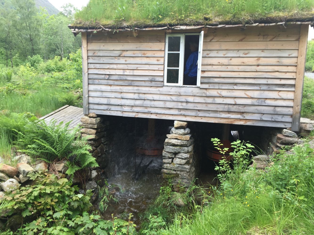
The trail starts at the spot where Kaldholelva crosses the road leading to Kaldholen. It continues into the Grimstadvatnet wildlife conservation area and nature reserve. The trail is relatively flat and is accessible to most people. It leads through places where people once gathered shellfish, searched for pearls and went swimming. You can also see the ruins of a power plant and a recently restored mill house before reaching the mouth of the river in Hareid by an older industrial area.
Hareidelva is a good fishing river where you can catch both brown trout and salmon! (During the fishing season, with a fishing license card).
You can either hike or cycle, and it is possible to start the hike at several points along the trail, according to your needs.
Learn more about the nature reserve here:
https://faktaark.naturbase.no/?id=VV00000625