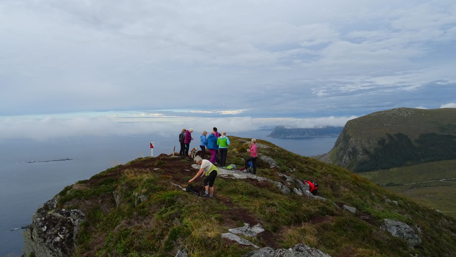
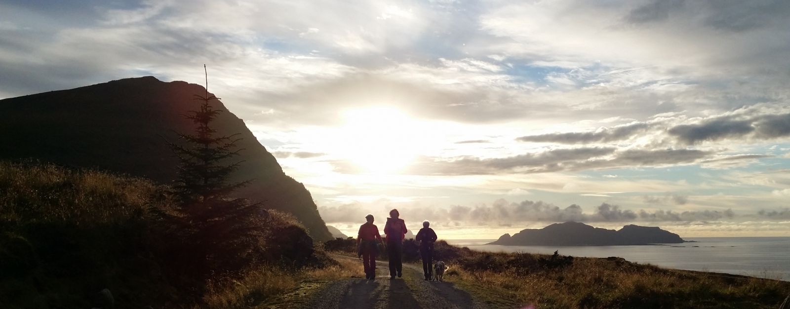
Roppehornet from Midtflø
Ulstein
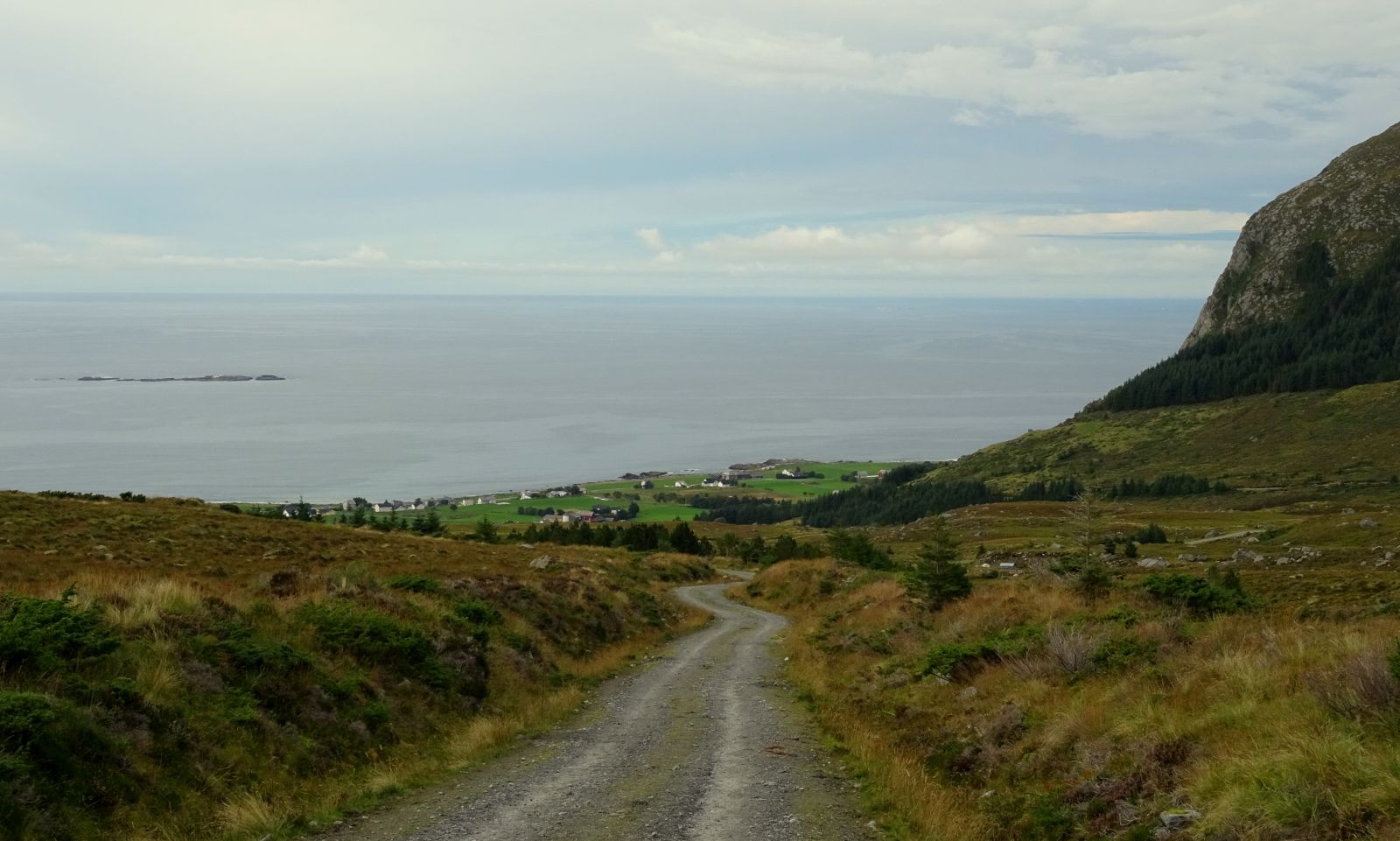
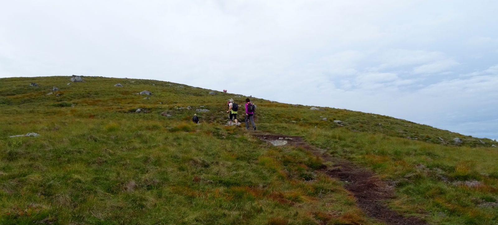
Mount Roppehornet offers a fantastic view! This is an easy hike to the top. More than half of the trail follows a gravel road.
Start walking from the sign that reads “Roppehornet”. Follow the gravel road until you reach a path. Once you walk onto the path, follow it uphill and take the left turn at the point where you come across another path (N62° 23.162' E5° 50.563'). Walk west following the ridge until you reach the top. The path is well defined and easy to follow.
From Ulsteinvik, drive west along Sjøgata Street. Turn onto County Road 25 (FV25) in the direction of Flø. When you come to Flø, you will drive past a harbour and the Moods of Norway shop. Turn off onto a gravel road with a sign for Brørevatnet. This is a toll road. Follow the gravel road until you reach a junction with a sign for Roppehornet. This is a starting point for the trail described here, but it is also possible to drive a little further if you are looking for a shorter hike. Pay the toll fee of NOK 50 (as of 2015) in order to drive along the gravel road up to the starting point.
There are several parking spaces at the starting point of the trail.
Distance
5,92 km both ways
Duration
2 t

Sesong
Spring, Summer, Autumn
| Surface type |
Distance |
| Grus |
4 |
| Sti |
2 |
Ytre Søre Sunnmøre tourist map (1998). There are only a few of these maps left.
 Driving directions
 Route data
GeoJSON
Route data
GeoJSON