Roparen (from Surnadalsøra)
Surnadal
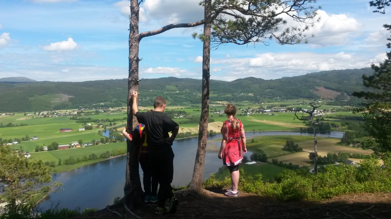
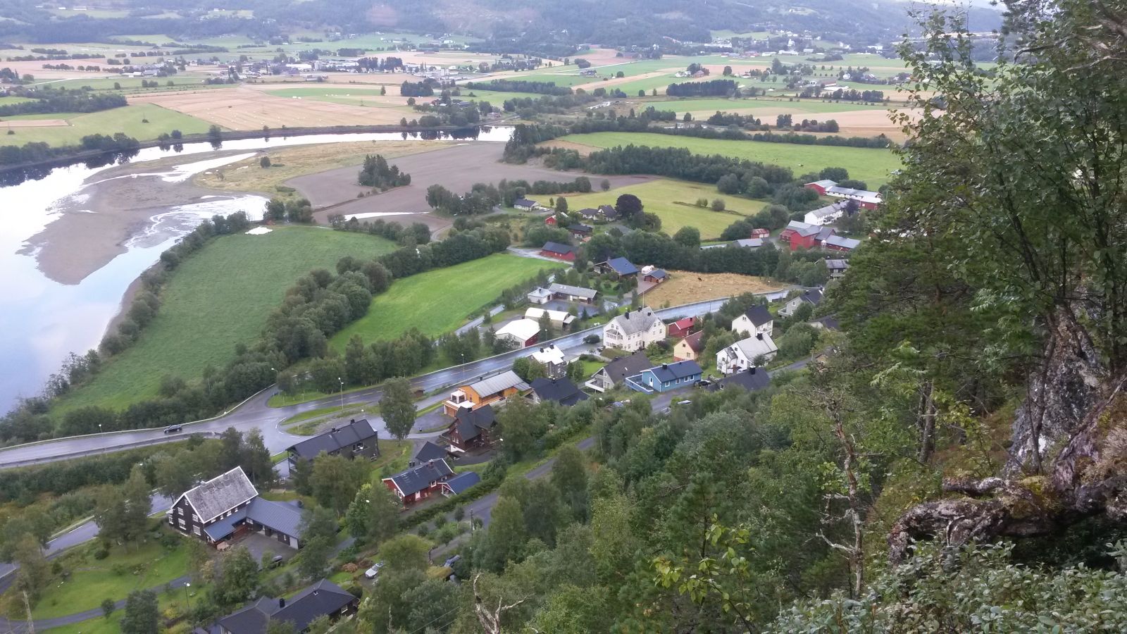
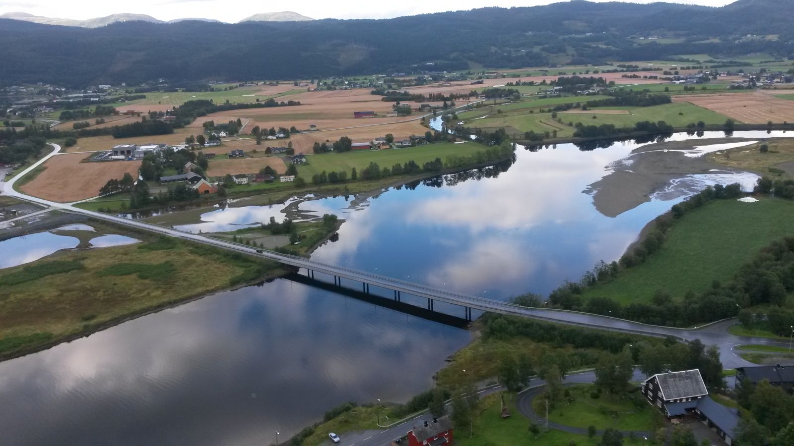
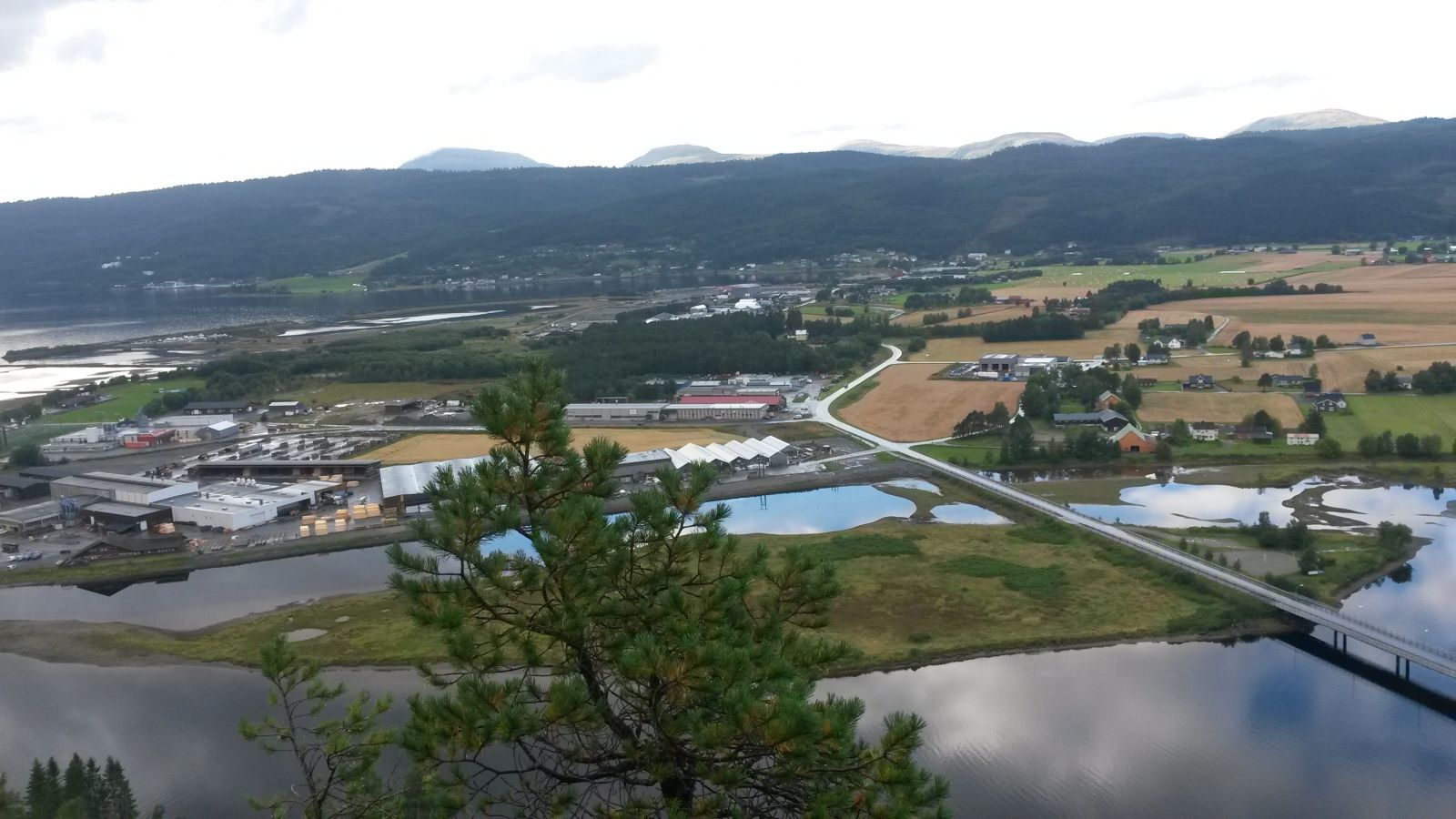
Roparen is a scenic hiking destination with an amazing view and a bench to rest on. The round trip is only 2.4 km long, and the trail is perfect for a short evening walk, especially if you leave nearby. The trail does not involve a lot of elevation gain – only about 140 metres between its lowest and highest points.
The hike starts in Surnadalsøra where the eastern road up to the chapel begins. (If you are coming from Setergarden, this will be past the fourth house on the upper side of the road after you entered Surnadalsøra.) Walk up that road and take the left turn just before the chapel. Continue walking past the house that lies at the highest point of the village, walk up the hill, and keep moving along its side. The road splits again just after you pass Åsbødammen up on the hill. The road continues straight ahead, while a clearly defined path runs up to the left. Walk up the hill and follow the marked route towards Roparen. You will soon come up onto a forest road. Take the left turn. Follow the road until you reach a marked path down towards Roparen on the lower side of the road. This only takes a few minutes.
Park your car at the starting point of the trail.
Duration
55 min.

Sesong
Spring, Summer, Autumn
Signage
Both signed and marked
The path is signposted.
Please do not approach the outermost edge on Roparen to avoid the danger of falling down the slope.
 Driving directions
 Route data
GeoJSON
Route data
GeoJSON