Roparen (from Alpinsenteret)
Surnadal
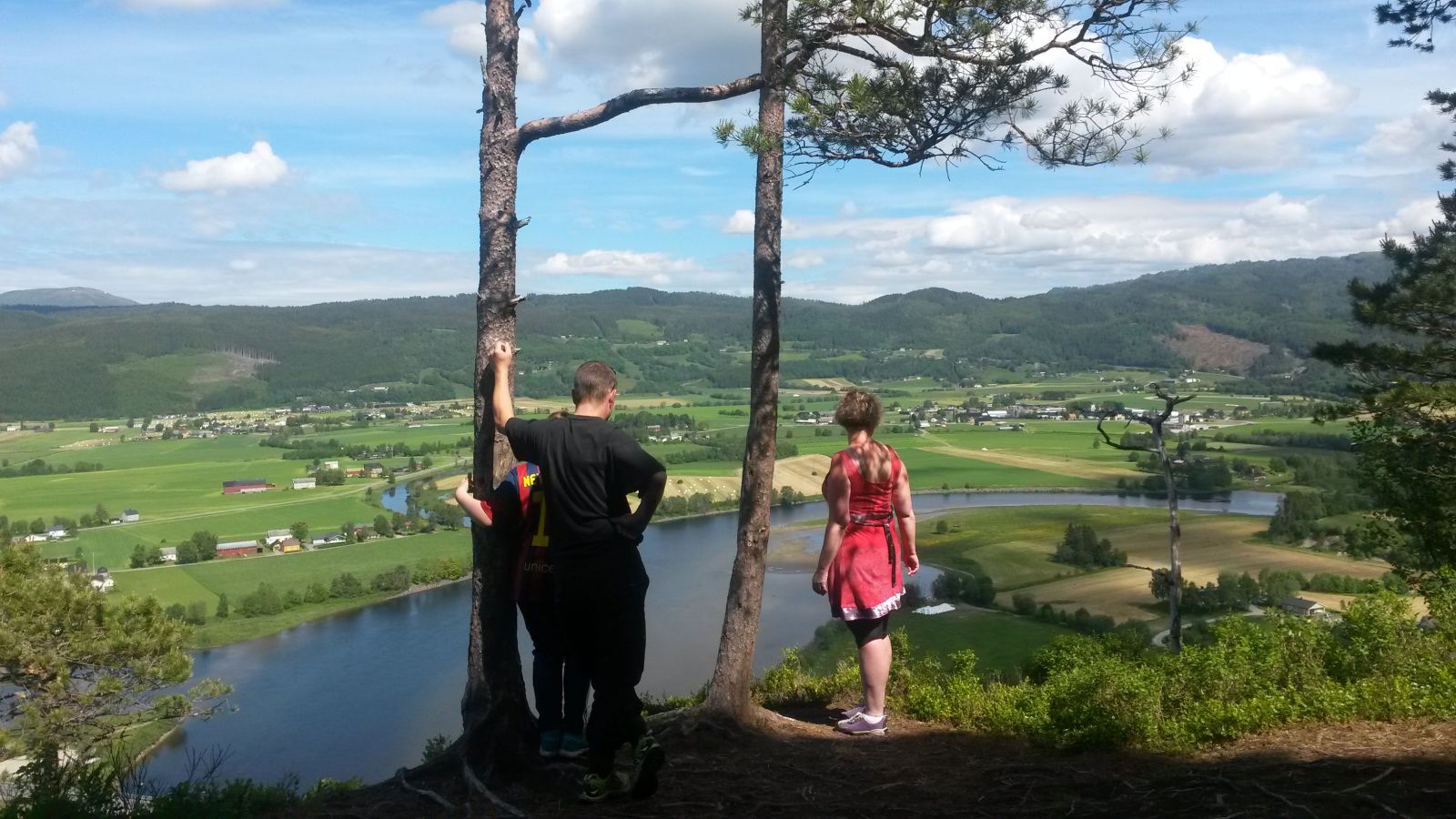
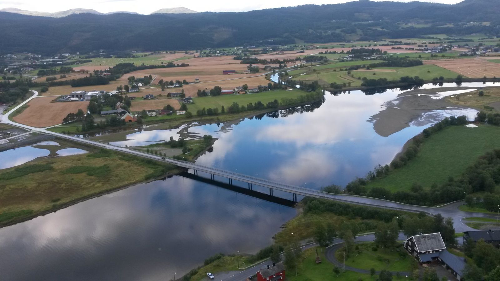
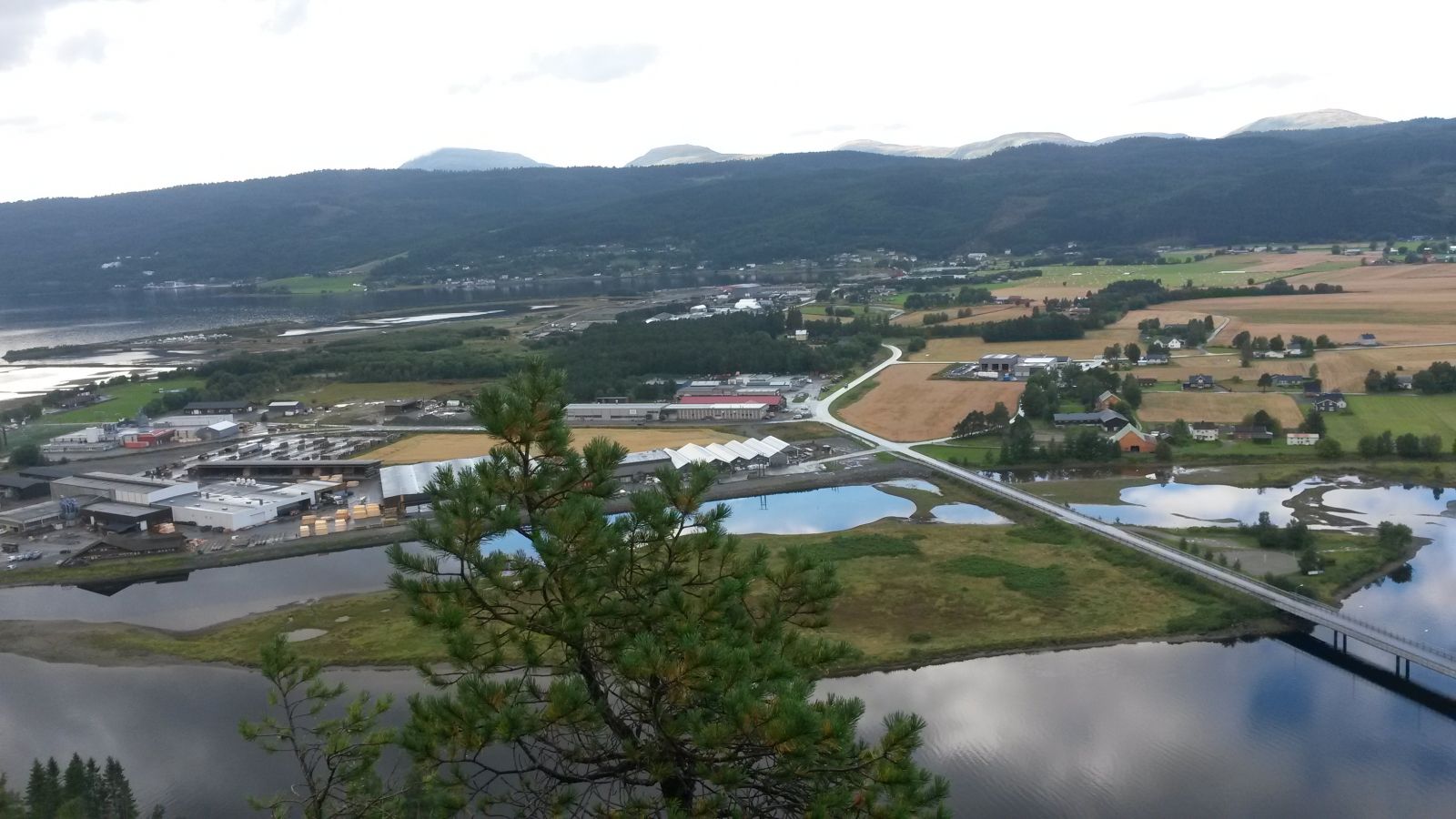
This scenic viewing point in the centre of the village is one of the most visited hiking destinations in Surnadal Municipality. People who live in the centre of Surnadal can access Roparen by foot with no need to drive to the starting point. This is why this description focuses only on the final section of the trail which everyone has to walk along: from the ski resort Surnadal Alpinsenter to the trail destination.
You can leave your car at the designated car park by the ski resort. From here, follow the route that is signposted to Roparen. This section is only 0.9 km long, so many locals can leave their cars at home and reach this trail destination completely by foot. The distance to the car park by the ski resort is about 1 km from the roundabout, about 2.2 km from the Amfi shopping centre, and about 1.7 km from the junction by Tørvollan.
The starting point of this hike is the car park next to the ski resort Surnadal Alpinsenter. If you are not familiar with the area, you can start from the Amfi shopping centre in the centre of Surnadal. Turn onto Modalan Road at the junction just above the shopping centre and follow this road up to the only roundabout in the village. Continue straight ahead onto Grytvegen Road. Take the left turn up to the ski resort at the sign for Surnadal Alpinsenter. Leave your car at the designated car park by the ski resort. Car parking is free of charge.
Duration
35 min.

Sesong
Spring, Summer, Autumn
Signage
Both signed and marked
| Surface type |
Distance |
| Sti |
0,4 |
The path is signposted.
Please do not approach the outermost edge on Roparen to avoid the danger of falling down the slope.
 Driving directions
 Route data
GeoJSON
Route data
GeoJSON