Rjåhornet (on Gurskøya Island)
Herøy
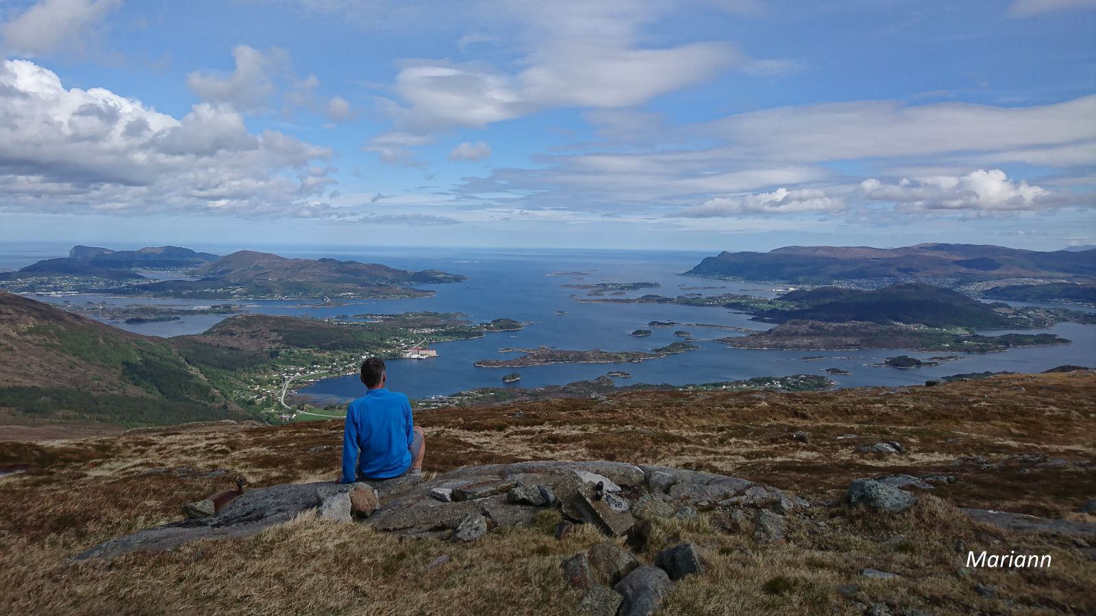
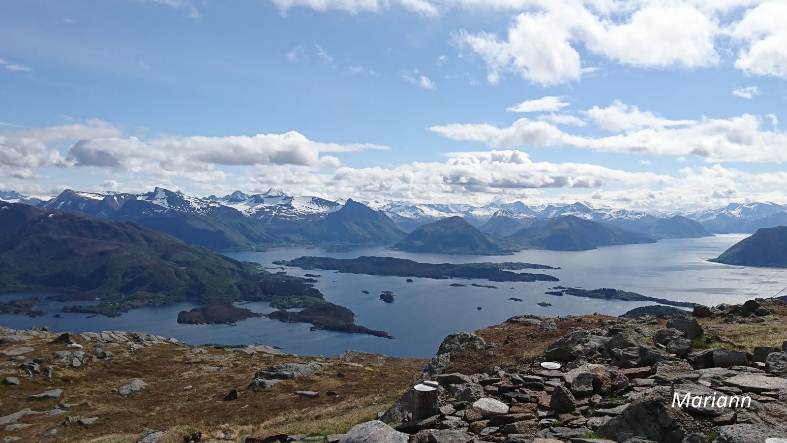
Rjåhornet lies between Leikong and Tjørvåg and offers a scenic view of the mountains and fjords in Herøy, Ulstein, and Sande municipalities and of the Sunnmørsalpane mountain range. You will find a base station with a high radio mast operated by Tussa IKT on the mountaintop. The Gurskøy Sports Association (Gurskøy IL) set up a trail postbox on Rjåhornet.
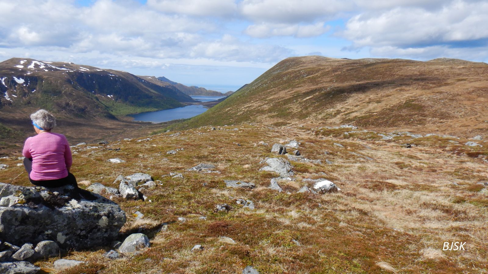
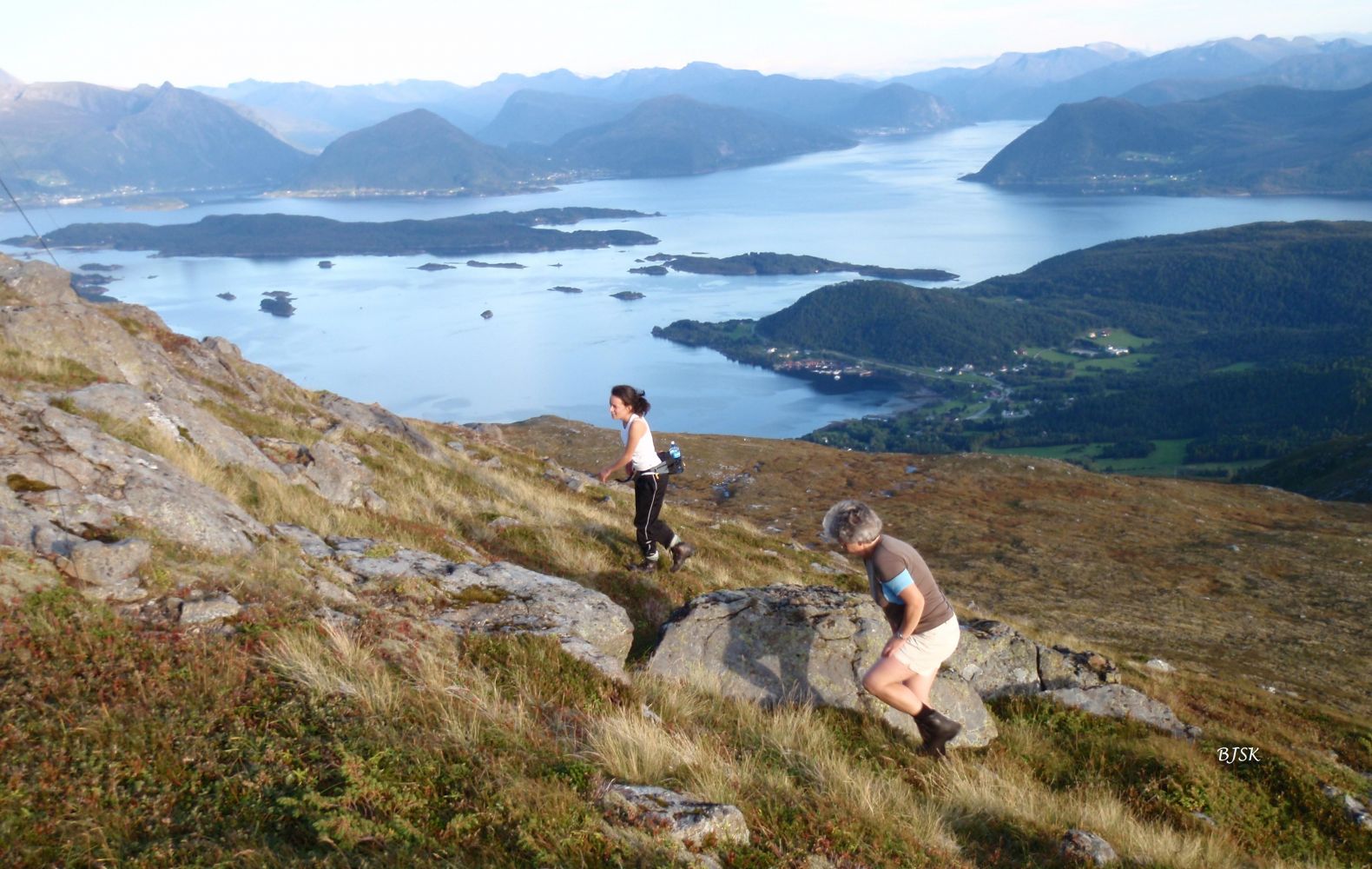
The trail starts from the car park by the illuminated ski trail in Leikongeidet. Follow the path northwest through the valley. When you reach the mountain edge, continue along the path as it turns northeast and follow the ridge up to a small peak. After that peak, the path climbs down and splits in two at the lowest point. Turn right and follow the path until you see a nice chair made of stone. This is where the path ends, but you are going further to the peak that you see behind the chair. You can either climb right up a steep mountainside or go to the edge and follow it until you reach the top. When you see Rjåhornet, walk straight towards it. You will come to a valley with a marshy area beneath. Walk across the valley, and you will see a path on its other side. The path begins from a large rock and climbs steeply up to the mountaintop. It is also possible to hike to Rjåhornet from Tjørvåg, Djupvika, and Leikong.
Park your car by the illuminated ski trail along County Road 61 (FV61) in Leikongeidet.
Duration
3 t. 30 min.

Sesong
Spring, Summer, Autumn
| Surface type |
Distance |
| Sti |
4,46 |
Hiking map of Ytre Søre Sunnmøre, M711 1119 I and II, Sunnmorskart.no
 Driving directions
 Route data
GeoJSON
Route data
GeoJSON