Rjåhornet (Gurskøy) from Djupvika
Herøy
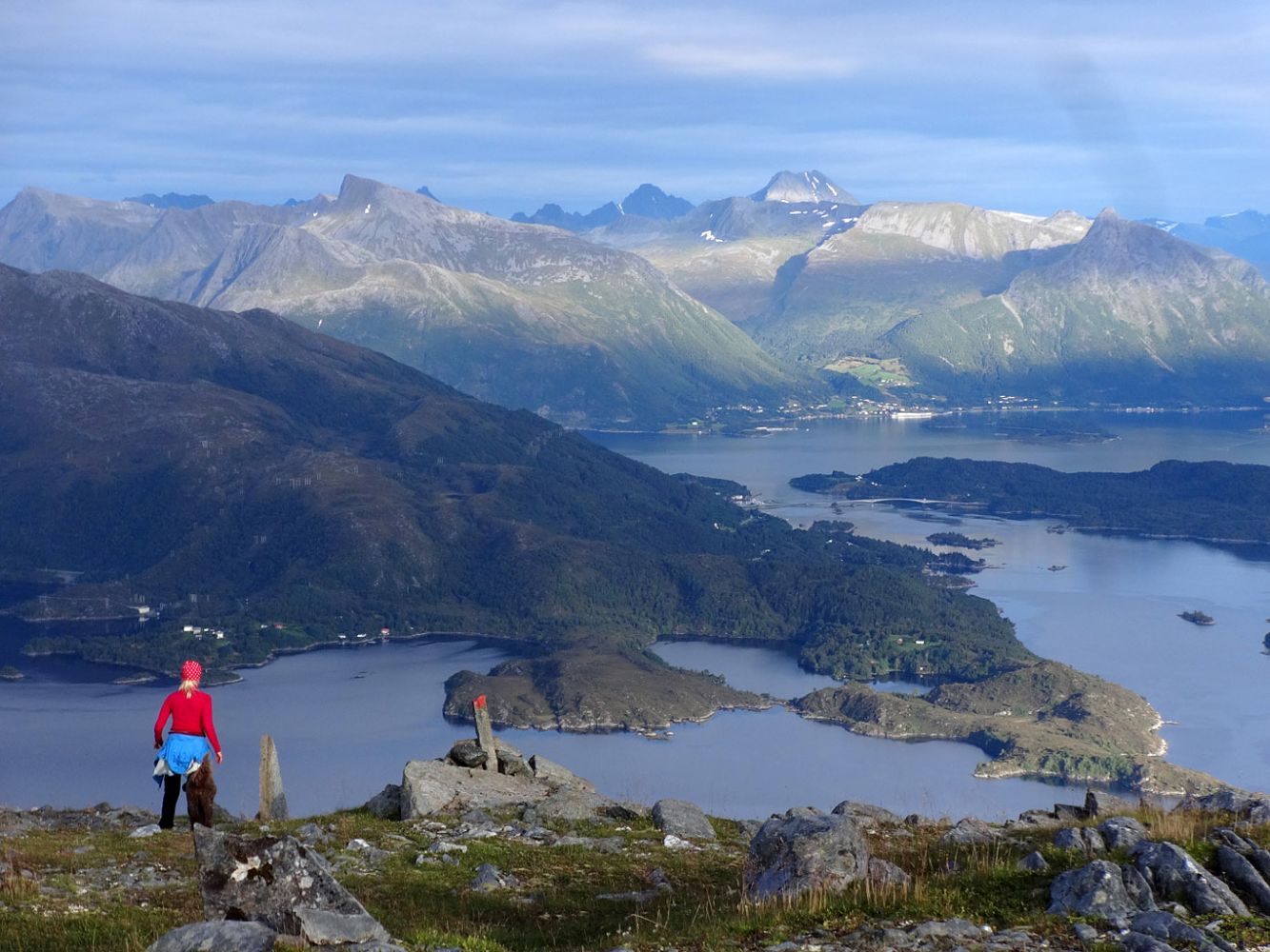
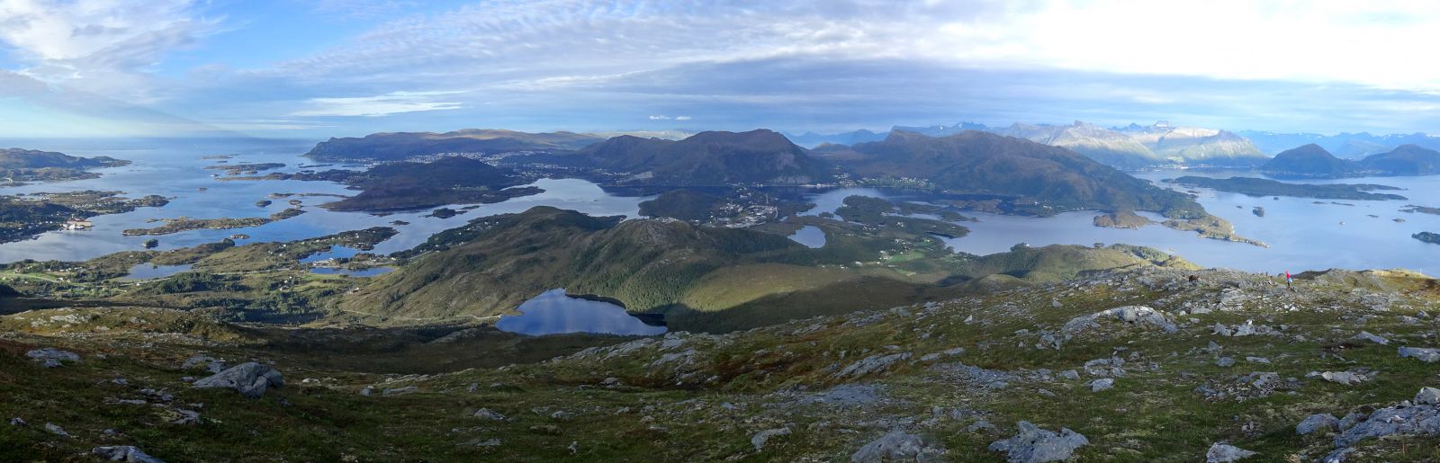
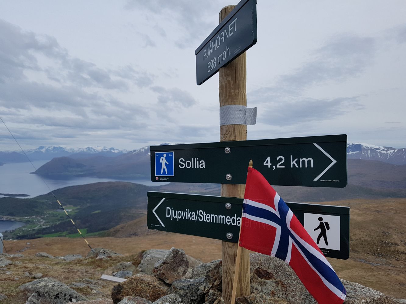
Rjåhornet (598 m a.s.l.) is one of the highest peaks on the island of Gurskøya. It offers a scenic view of the Sunnmørsalpene mountain range in the east and the ocean in the west. The most common hiking routes to Rjåhornet start from Djupvika, Leikongeidet, and Leikong (the assembly hall Leikanger Kyrkjelydhus). This is a description of the route from Djupvika.
On Rjåhornet, you will find a base station for telephony and other wireless communications operated by Tussa IKT. In addition to Tussa IKT, several other tenants, such as municipalities and local radio, also use the base station. The station was built in the early 1970s. A new cabin and a 30-metre-high mast were set up in the autumn of 2014.
The entire route from Djupvika is marked with sticks and cairns with red paint on them. The trail follows a clearly defined path through the forest for the first 0.5 km. The next kilometre covers fairly easy terrain above the tree line. This section is marked with cairns. The final 1.5 km are marked with sticks. Here, the trail gradually ascends from about 200 to almost 600 metres above sea level.
In 2015, the route will be signposted both at the starting point and at the junction with the path to Huldrehornet.
There are two exit roads to Djupvika from National Road 61 (RV61) between Myrvåg and Leikong. The southernmost exit road, which is closest to Leikong, is the easiest one. Drive for 0.4 km and turn left onto a dead end street where the road turns sharply to the right. Drive along this street for 0.1 km. The trail starts near a stone bridge. You will find parking space for two cars there. Alternatively, you can park your car along Djupvikvegen.