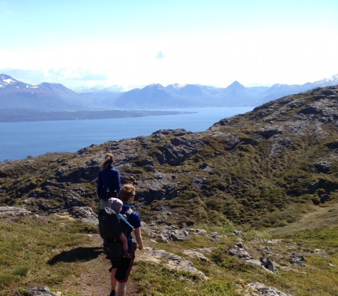
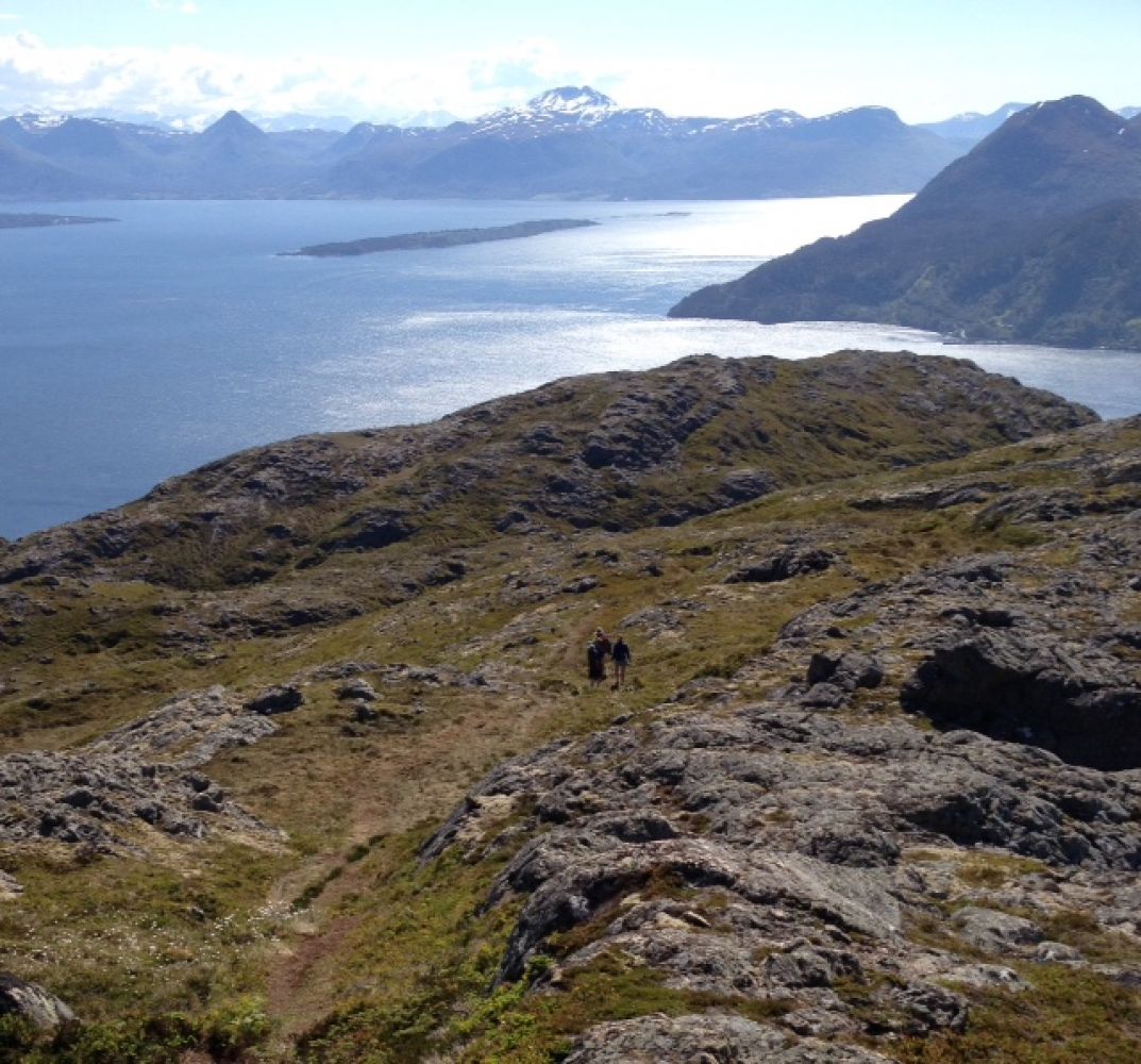
This is a lovely and diverse trail that goes through both forest and mountain terrain. The first section of the trail is good for cycling. You will enjoy a great view of the islands in outer Romsdal and the mountains in the south.
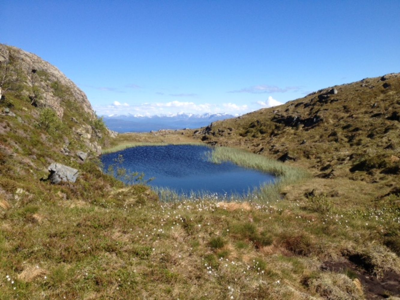
The trail starts on the forest road which is not open for motor vehicles (boom gate). Follow this road until you reach a large warehouse. Walk along the old tractor road that starts on the left of the warehouse and climbs up the hill until it turns into a path once you have crossed a stream. Continue climbing up as you walk through the forest and past a small log cabin. The path continues through a marshy area and bare mountain area. The path starts drifting east at the top of the cleft and then continues through some moorland and rocky terrain until it reaches the cairn with the trail postbox at the top.
When you are coming from Molde, drive past the turnoff to Mordalvågen (ferry terminal). Take the first turn to the left (car park). Walk back for about 100 metres along the national road and cross the road. The trail starts here on the forest road.
When you are coming from Molde, drive past the turnoff to Mordalvågen (ferry terminal). Take the first turn to the left (car park).
Duration
3 t. 5 min

Sesong
Spring, Summer, Autumn
Signage
No signage or markings
| Surface type |
Distance |
| Sti |
1 |
The bus service to Midsund goes to Mordalvågen ferry terminal, and the bus service to Aukra runs past the starting point of the trail.
 Driving directions
 Route data
GeoJSON
Route data
GeoJSON