Remøykammen and Vardane on Remøya
Herøy
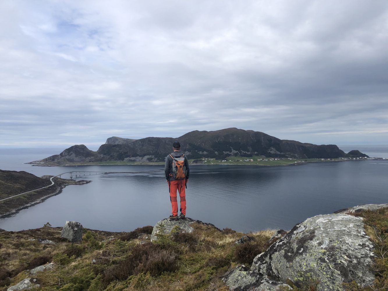
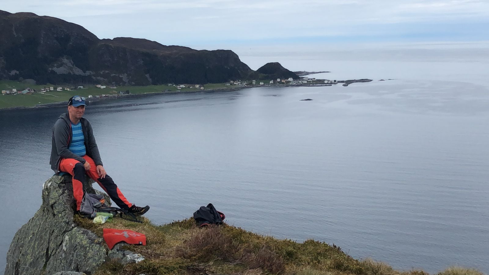
This trail follows a mountain ridge along the entire island of Remøya. You will get a beautiful view of the other islands in Herøy Municipality, Hareidlandet Island, and the ocean. This is a scenic circular route. Vardane is also called Linken because of the radio mast at the mountaintop.
The trail starts on the eastern side of Remøya, at the stone quarry, and climbs up north of the forest before reaching the top of Remøykammen.
The only section of the trail that involves some climbing is from the stone quarry to Remøykammen. The rest of the trail covers gentle terrain. From Remøykammen, walk west along the path that runs down and then up to Vardane. On your way back from Vardane, follow the path around Lake Storevatnet, then east, and walk down near the houses at the highest point of Sævika. From there, walk 2.6 km east along the old asphalt road until you reach the stone quarry.
Turn off FV654 at the junction by Einedalen School (at the sign for Runde). Follow FV5876 as it takes you over Leinøya Island and the Remøy Bridge. After the bridge, turn right onto Kvianesvegen Road and follow it to the end. Park your car and go to the stone quarry where the path begins.