Rekdalsøygarden – Nakken
Vestnes
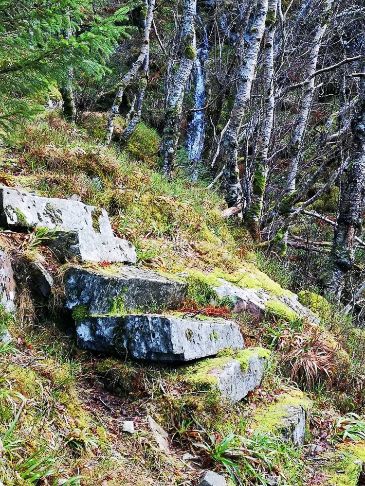
This is a nice and short family hike that involves some climbing. Many people will probably prefer an evening walk during sunset. You will walk past a World War II memorial, Stützpunkt Rekdal. You will primarily follow the same path all the way up to Nakken. The stone stairs you climb were used by the soldiers on guard duty who used to climb up to the viewing point where they watched over the waterway.
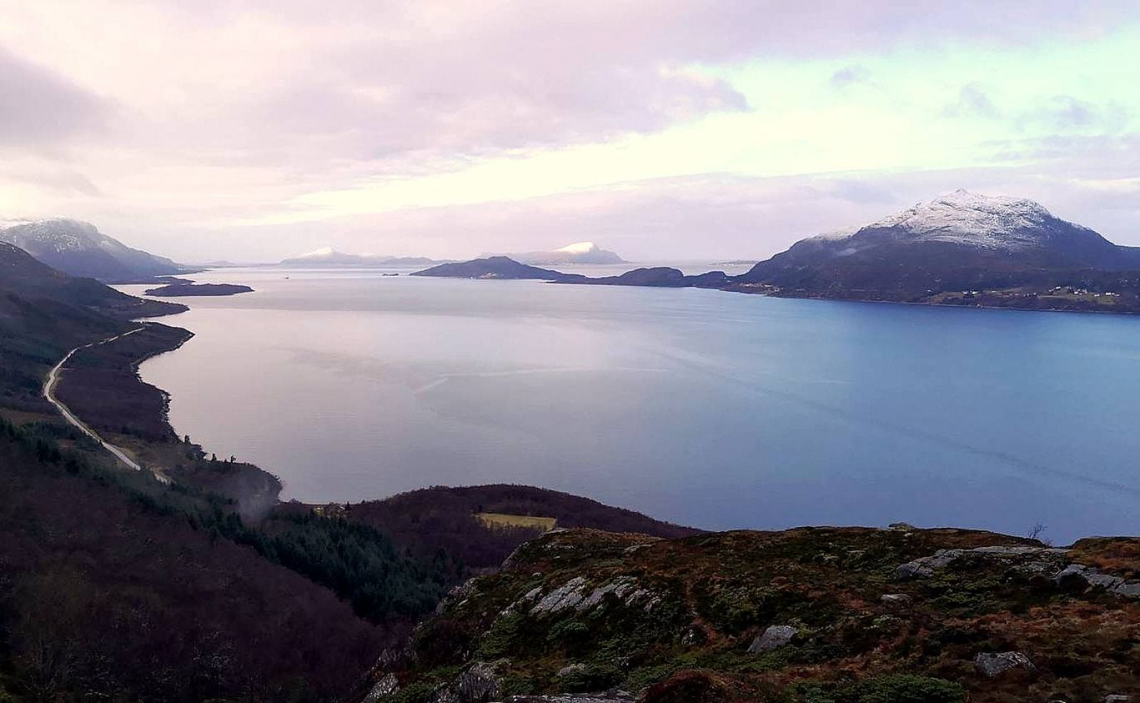
The trail starts in Øygardsbukta down by the ruins of the German barracks for storing food. You will find a car park here. Walk up the same way as you drove down until you reach the county road. Turn left and follow the county road for about 200 metres. Turn right when you see an information board. Follow the forest road/path for about 160 metres and turn right at the sign that reads “Kapteinsbrakka”(Eng. “Captain’s Barracks”). Walk through the remains of the walls of German buildings and follow the path marked with red for about 500 metres further ahead. From here, it is about 100 metres up to the point called Nakkelægda with a beautiful view over the fjord and islands.
To get to Rekdalsøygarden, drive along County Road 661 (FV661), Rekdalsvegen Road. One km west of the border between Haram and Vestnes municipalities, turn off the county road and drive down to the car park in Øygardsbukta.
Distance
2,0 km both ways
Duration
50 min.

Sesong
Spring, Summer, Autumn
| Surface type |
Distance |
| Asfalt |
0.2 |
| Grus |
0.2 |
| Sti |
0.5 |
It is possible to take a bus here from Vestnes or Vatne.
 Driving directions
 Route data
GeoJSON
Route data
GeoJSON