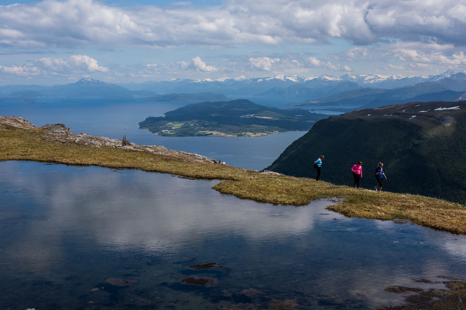
This is a nice and easy trail suitable for families with children. The first section of the trail goes through an area with various types of vegetation including some forests and marshes. The forest ends after about 1 km, and the mountain terrain takes over. There are nice rest areas along the path. Once you reach the cairn at the tip of the plateau, you will be rewarded with a fantastic view.
The village of Rekdal lies along County Road 661 (FV661). If you are coming from Sunnmøre, drive to Vatne and then either drive around Vestrefjorden or across the Nakkedalen Valley via Fiksdal. If you are coming from Vestnes, drive via Tomrefjord and Fiksdal along the fjord to Rekdal. About half way through the village, there is a road going up to the football pitch and further to the summer mountain farm. You will see a sign on the illuminated ski trail at the junction. Walk across the football pitch, and you will get to a boom gate. From here, a toll road leads up to a free car park near the farm. The toll fee is NOK 30 for private cars (2015), please remember the coins. To avoid the payment, you can park for free at the car park of the sports association next to the toll station and walk the additional 2.5 km. There is also a tourist map over the Rekdalsmarka area near the boom gate. From the car park, follow the marked path to the right (west) just after the cattle grid. It will take you all the way up to the cairn at the top of Mount Rekdalshesten.
Duration
3 timer

Sesong
Spring, Summer, Autumn
| Surface type |
Distance |
| Sti |
6 |
Walking to Rekdalshesten has been a long-standing tradition among the village people. Such group walks were described more than 100 years ago. It was common to gather for a “Hestegange”, a walking tour to Rekdalshesten, on a nice summer day. The tradition was abandoned for a few years when Rekdal Sports Association initiated the walks again in the 1970s. There are now “Hestegange” walks for children and adults on the 1st Sunday after Midsummer Day.
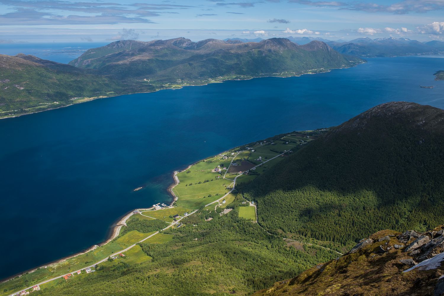
Mount Rekdalshesten with its characteristic shape was an important landmark for those who travelled by sea. It helped to find both the way home and fishing spots.
Vestnes 1220 II, Map of Norway online, search term “Rekdalshesten”.
 Driving directions
 Route data
GeoJSON
Route data
GeoJSON