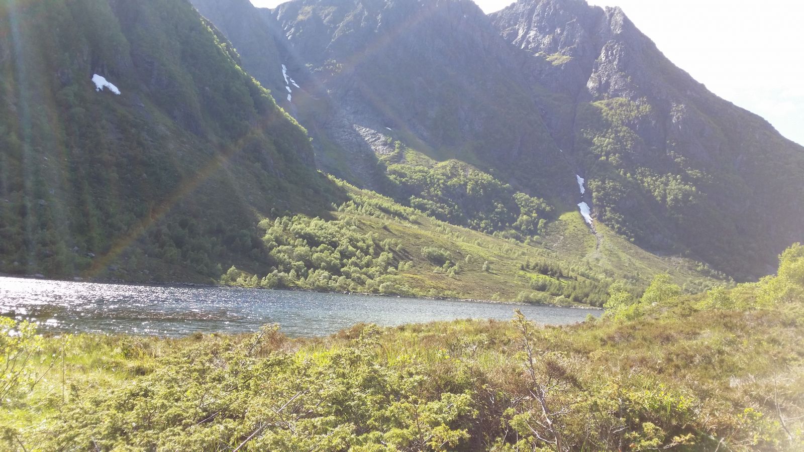
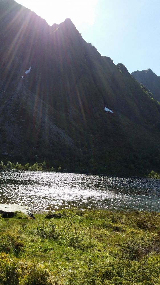
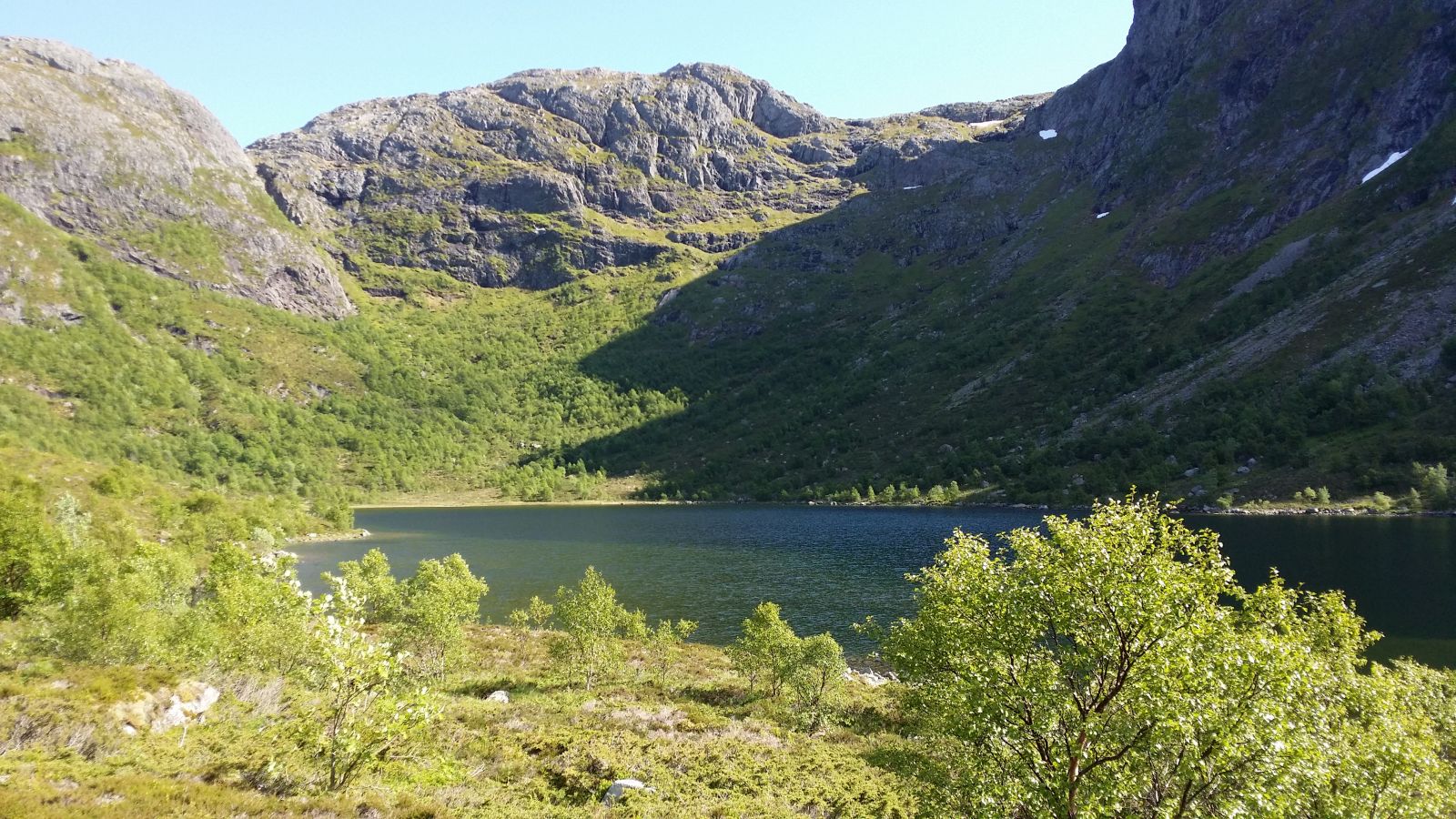
The trail takes you from the little village Ræstad on the outside of Otrøya Island up the Ræstaddalen valley to Lake Ræstadvatnet. As you walk up the valley, you will get a beautiful view of the neighbouring island of Gossen. A spectacular view opens up further along the Ræstaddalen valley where you will see Lake Ræstadvatnet surrounded by the high mountain tops Ræstadhornet and Grøtet.
Route description
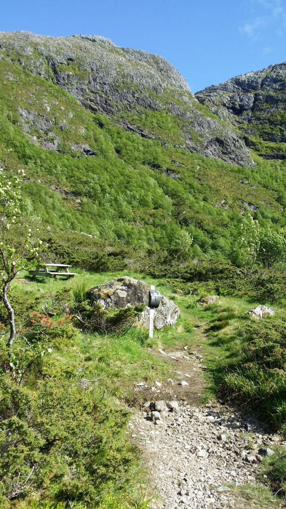
The trail follows a gravel road/tractor road from the car park up a small hill. Then it swings in the direction of Lake Ræstadvatnet. From this road, the path is well waymarked so that it is clear where to go. The path from there is clearly visible all the way up to the Stikk Ut sign at the southeastern end of the lake. The trail covers moderate terrain with some rocky patches and roots in the path. It is 1.5 km from the car park to the trail postbox, and you can expect a half-hour walk one way.
Arrival and parking
The trail starts near Ræstad, at the turnoff by the bus shelter (the only bus shelter there) which will be on your left-hand side if you are coming from Solholmen. Turn right at the first junction there and drive to the end of the road where you can park your car. The car park is marked with the sign for Ræstadvatnet and the Stikk Ut sign.