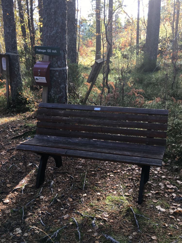
This hiking trail is easy but involves a fairly steep ascent. There is a bench to rest on at the highest point of the trail. The road is not cleared from snow in winter, and it is harder to walk uphill in the snow.
Route description
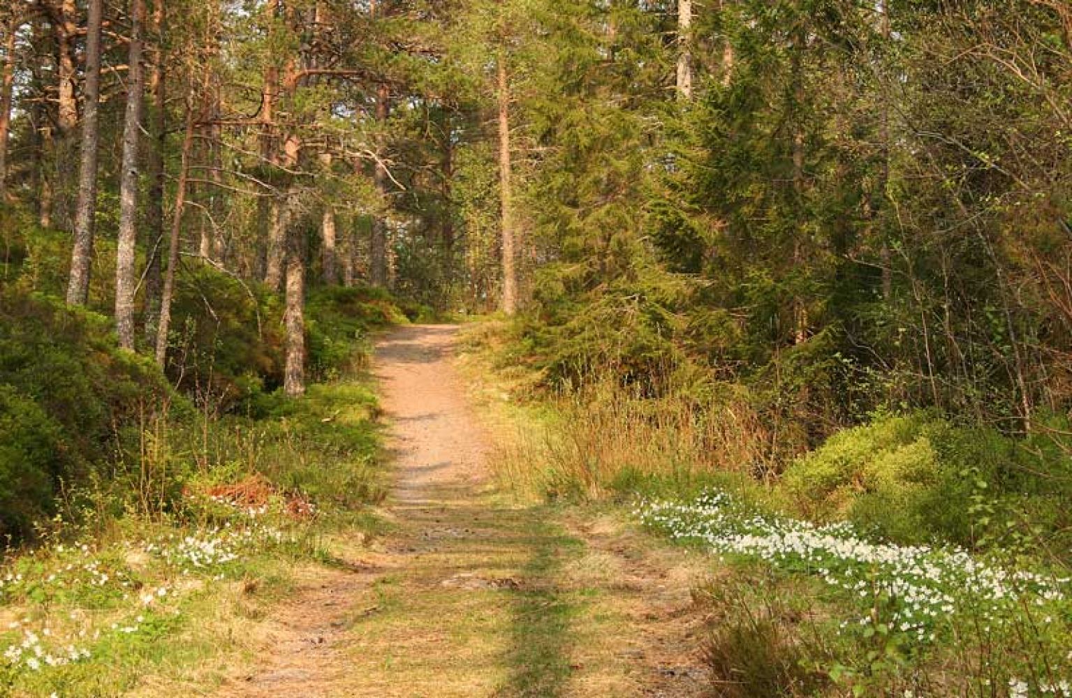
This section of Postvegen (Eng. The Mail Route) starts from Russebøen and branches off the forest road that leads to Hestvika. Turn off to the left at Sjøholt Camping and follow the old cart track up the hillside with a couple of steep sections. The administration of the former Ørskog Municipality, students of the local school, and various associations and organisations have recently upgraded this road to the standard it once had. Some sections of the road are covered with grass, and walking up the hillside is a good exercise.
Access and parking
Follow the signs for Sjøholt Camping from the centre of town. Drive past Ørskog Church and the Ørskog Priest’s House. Before reaching the Sjøholt school, turn right and then left in the direction of the Ørskoghallen sports complex and the Ørskog Stadium.
You can park your car next to the football pitch.
Hiking route
Green
Elevation
97 m
Duration
50 min.
Sesong
Winter, Spring, Summer, Autumn
Highest Point
108 masl
Signage
Signed
Map route
Surface type
Distance
Asfalt
1,2
Grus
1
Map
When talking about the mail route as a hiking trail, the locals often refer to the section between Russebøen and Nedrevoll/Amdam. In Nedrevoll, the hiking trail begins from a private house 300 m away from the junction with the national road in Vallbøen (
Payment method for toll road
Timeekspressen bus service to and from the centre of Sjøholt.