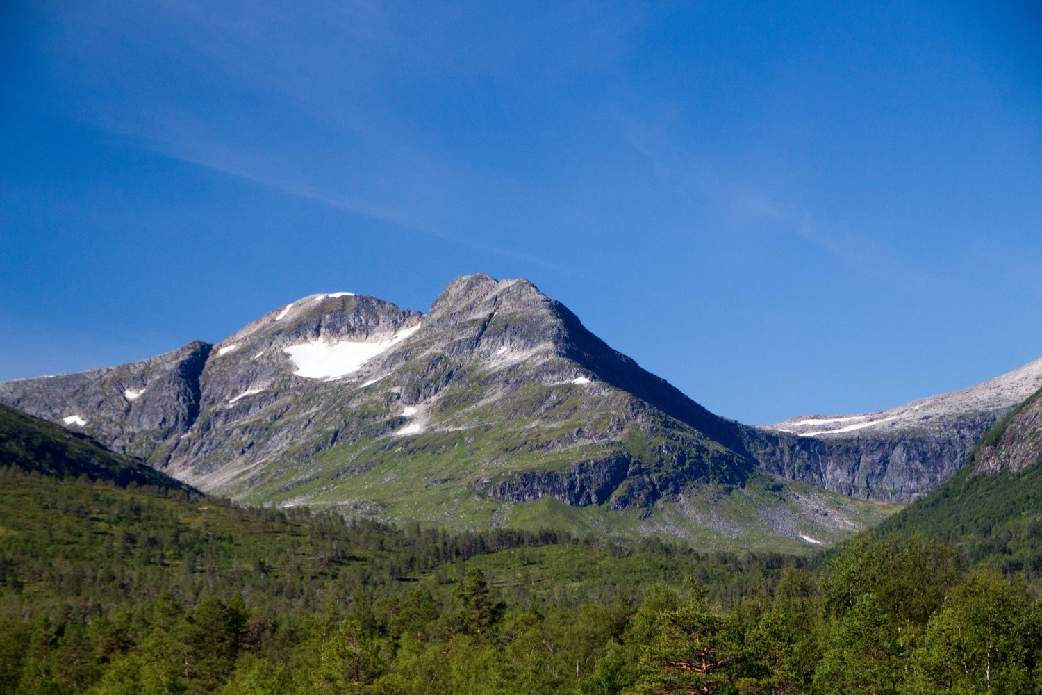
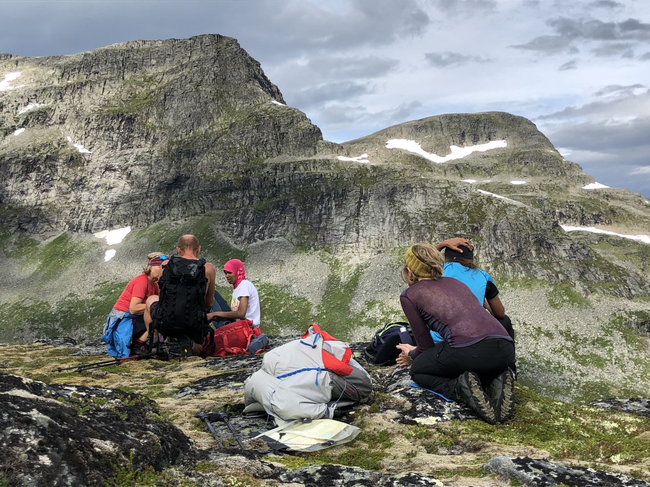
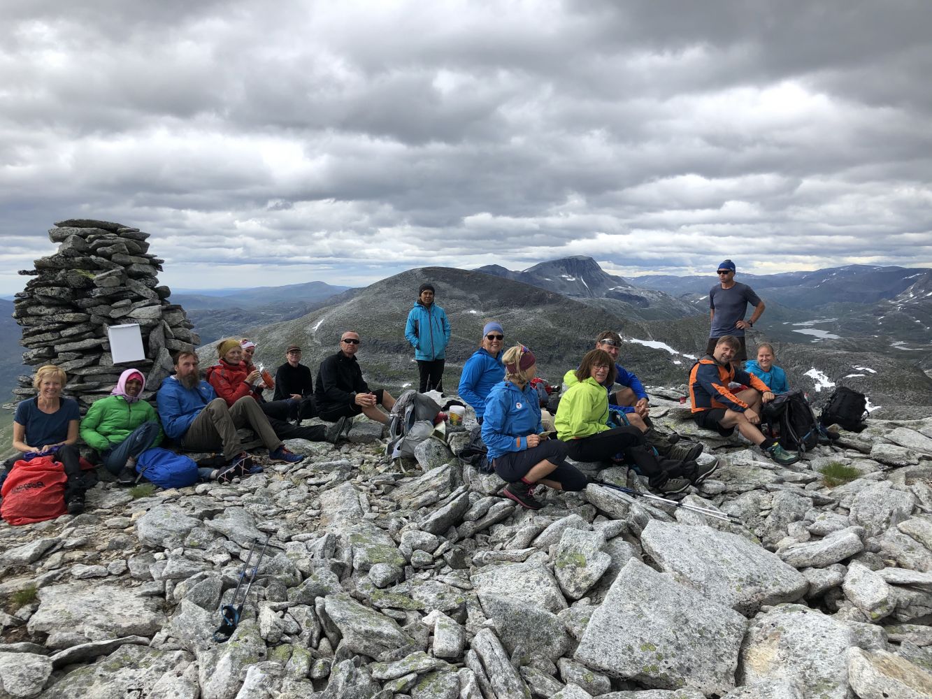
At the top of the Eiterdalen Valley, between the mountaintops Fruhøtta and Blånebba, you will find Pekhøtta (1396 m a.s.l.), a wild and beautiful mountain that invites you to climb its peak. When viewed from the Eiterdalen Valley, the mountain ridge that leads up to Pekhøtta may look scary, but there are many small cliffs that are easy and safe to climb on as you ascend the mountain.The entire hike to Pekhøtta offers fantastic outdoor experiences.
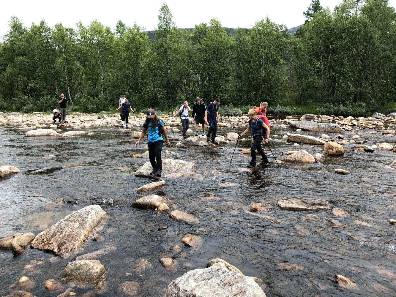
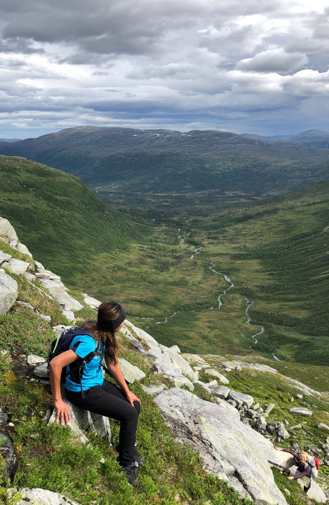
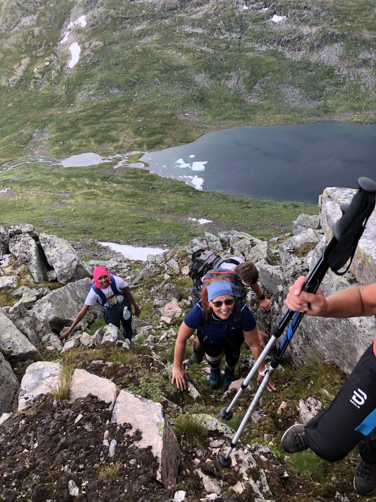
Start by walking or cycling from the car park along the Vindøla River until you see a sign that reads “Pekhøtta”. Cross the river and walk up towards the Eiterdalen Valley. Continue along the valley and cross the Eitra River before you start walking up to Lake Fruhøttvatnet. Once you reach the outflow from Lake Fruhøttvatnet, climb up to the mountain ridge and follow it all the way to the mountaintop. About halfway through the ridge, there is a steep rock where you need to walk slightly down to the left (west) and up a small groove. Once you reach the first mountaintop, continue walking over the snowdrift until you reach the cairn at the summit. To return to the starting point, walk steeply down to the southwest, past a small peak, and down into the mountain gap at the foot of Fruhøtta. Keep walking along the valley until you pass a stream northeast of Fruhøtta. From here, start walking down the valley until you reach the path you followed at the beginning of this hike.
Drive along RV65 between Surnadal and Rindal municipalities. About 9 km east of Skei in Surnadal Municipality, you will see a sign for Vindøldalen. Follow the toll road for about 11 km until you reach the car park by Pebua.