Norsk

The Osen Bridge at the Heart of the Svarteløk Area

Ålesund

The trail at a glance

The Osen Bridge is part of the looped ski trail system around the two lakes, Svarteløkvatnet and Mevatnet.

Route description

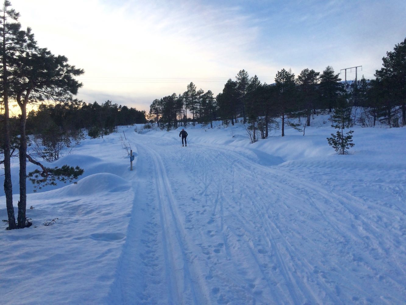
From Skodje, the natural starting point is in Fylling. You can start skiing from the car park either along the Fylling forest road or Steinsetsætervegen Road. The groomed ski trails follow the farm roads from there. At the farm area about 4 km away from the car parks, these ski trails join the network of trails that run around Lake Svarteløkvatnet. By taking the route that goes south of Lake Svarteløkvatnet, you will come to the Osen Bridge which goes over the river between the lakes Svarteløkvatnet and Mevatnet.  

Access and parking

There are public car parks along County Road 106 (FV106) at the beginning of both Steinsetsætervegen Road and the forest road in Fylling.
Skiing route
Blue løype
Distance
11,63 km one way
Elevation
209 m
Duration
2 t. 25 min.
Sesong
Winter, Spring
Highest Point
208 masl
Signage
Both signed and marked

Map route

Surface type Distance
Preparert med tråkkemaskin 11,6
Driving directions

API endpoints

Route data GeoJSON