The trail to the northern side of Osberget Hill is an easily accessible route that offers a great view. A forest near the trail destination is a wonderful place for children to play.
Route description
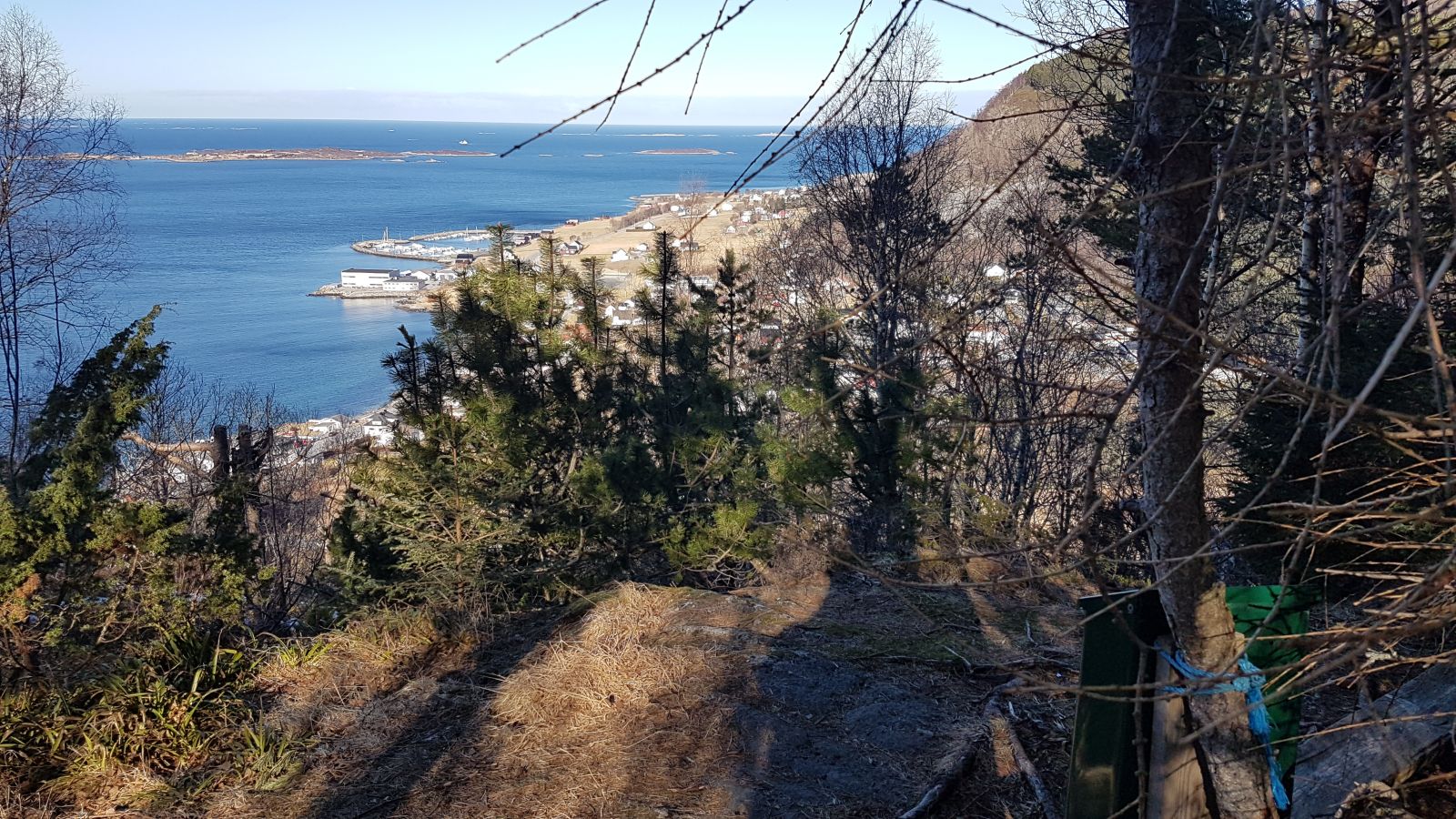
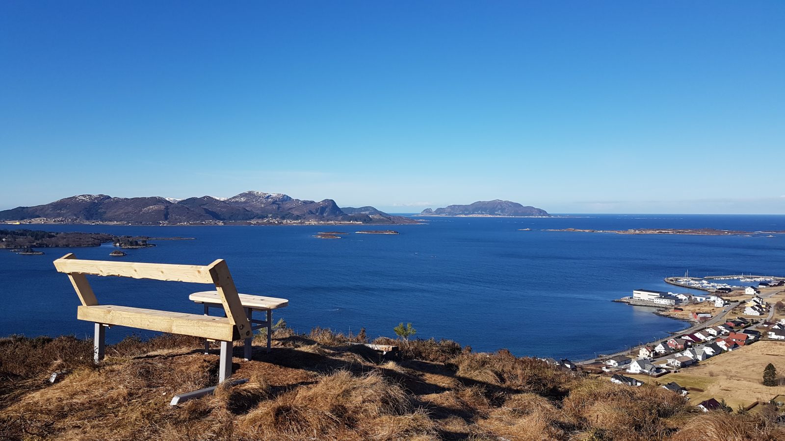
The trail starts from Bugarden above the centre of Ulsteinvik. You can park your car on either the lower or the upper side of the outdoor fitness facility, Tufteparken Ulstein and walk along the gravel road all the way to Bugardsmyra. Walk up to the right just before the “gapahuk” shelter and continue straight ahead along the gravel road until you see Mørdarbakken Hill on your right. Turn left and follow the path towards the northern side of Osberget Hill. There are several routes and view points in this area, but you need to keep to the right. The path is partly wet, and some sections of it are laid out with planks of wood. You will find the trail postbox at the view point facing north towards Skeide and the coastline. You can choose to follow the same way back or keep following the path around Osberget. In that case, you will come across several great view points with a view of Osneset and the centre. If you choose to follow the path and keep to the right, you will end up on a path that goes past Tufteparken Ulstein which you can then follow back to Bugardsmyra and the starting point.
Access and parking
The trail starts from Bugardsmyrane, an outdoor area in Ulsteinvik. From Hareid: drive along County Road 61 (FV61) in the direction of Ulsteinvik, turn right onto Øvrevegen Road at the sign that reads “Sunnmøre Folkehøgskule” and follow this road all the way to Bugarden. From Ørsta/Volda: follow Eiksund Sambandet (the road system that joins several islands in Ulstein Municipality) towards the centre of Ulsteinvik. Follow Sjøgata Street and take the right turn after the second roundabout before the City Hall. Turn left onto Kyrkjegata Street and drive up Kyrkjebakken Hill to the right. Turn right onto Gjerdegata Street and follow Skulevegen Road, then Bakkegata Street and Vikebakkvegen Road all the way to Bugarden.
You can leave your car at the car park above Tufteparken Ulstein at the beginning of the hiking trail to Bugardsmyra. No parking fee applies.