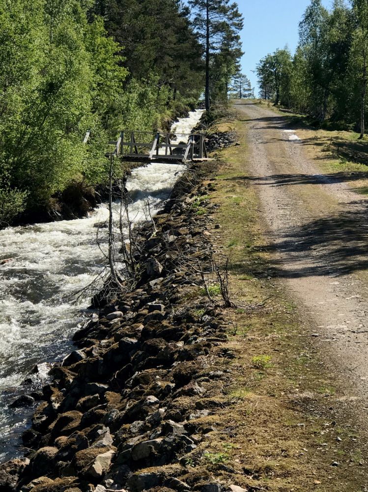
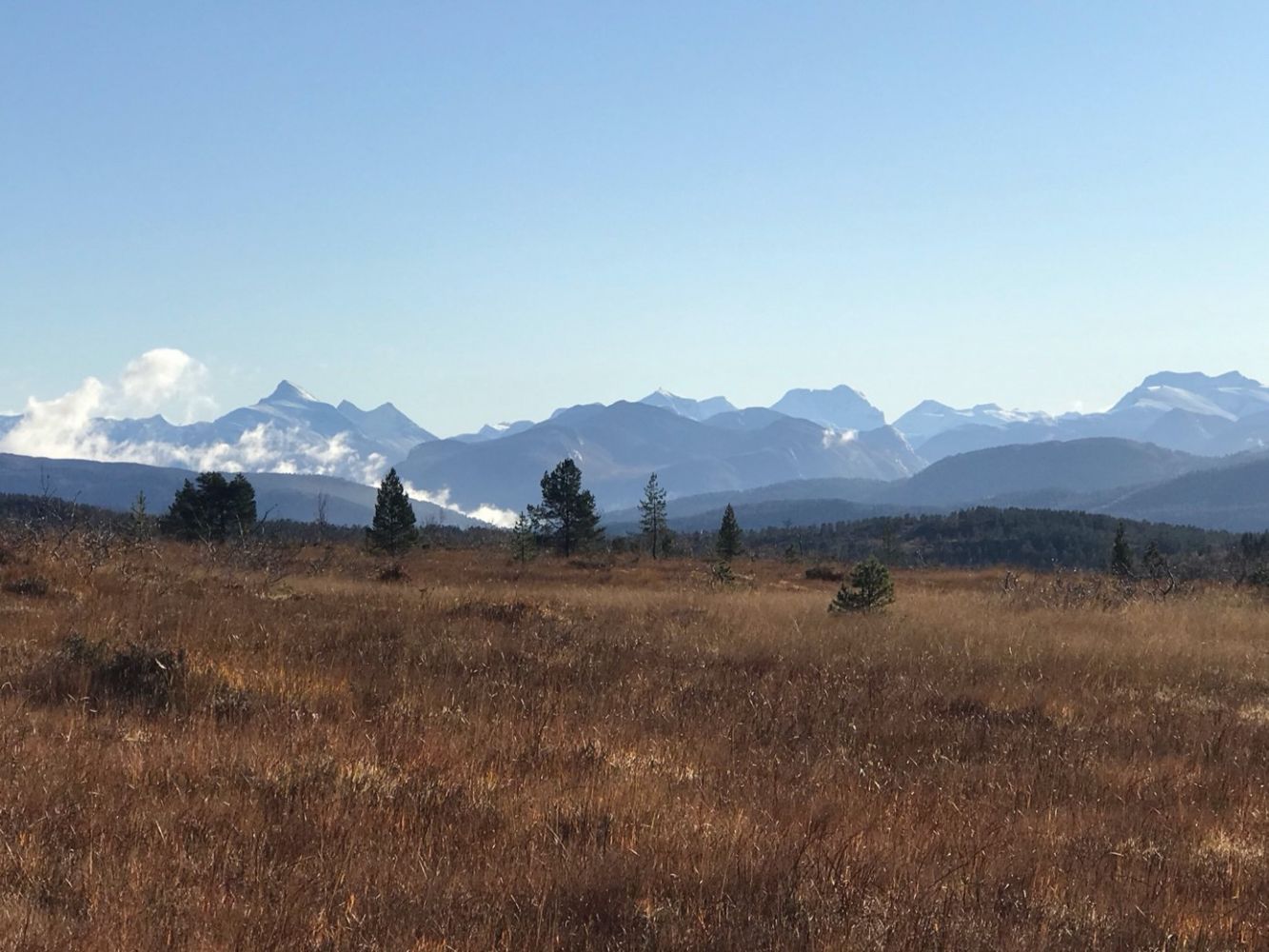
This is a nice walk along the canal at the start which will later take you up to the hilltop with a great view of the mountains in Romsdalen. It is nice to take a dip in Lake Oltervatnet on a hot summer day! It is close to other trails from here. If you follow the trail further, you will come up to Lake Trollvatnet and the Trollvassbrakka cabin which is an amazing skiing destination during Easter holidays. If you want to walk further, you can either follow the trail to Dua or Tovardan, Mount Mainnj and then over to Mount Silsetfjellet in Batnfjorden.
The trail follows a gravel road. It is not difficult to find your way. Walk straight ahead until you reach the first fork in the path. Take the turn to the right. Walk up to a small pump house and follow the canal all the way up to Lake Oltervatnet. The final section of the trail has more of a coarse gravel surface compared to the first section.
If you are coming from Molde, turn off from National Road 662 about 2 km east of the Midthaug factory in Kleive. The turnoff is marked with a sign that reads “Grønndalen”. Drive up to Høljan. You can park your car here if you want to ride along this trail by bicycle. If you want to walk, park your car near Lake Silsetvatnet, follow the road back for a little while and follow the Stikk Ut sign pointing to the trail towards Lake Oltervatnet.
Park your car by Høljan.
Duration
1 t. 45 min.

Sesong
Spring, Summer, Autumn
Molde and Kristiansund tourist map
 Driving directions
 Route data
GeoJSON
Route data
GeoJSON