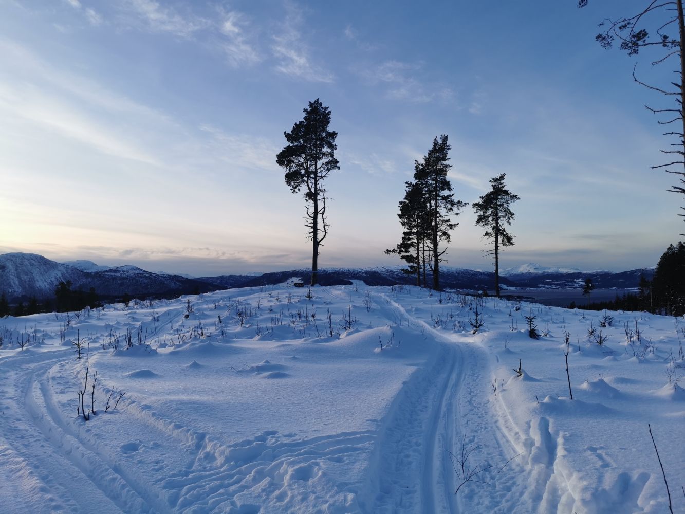
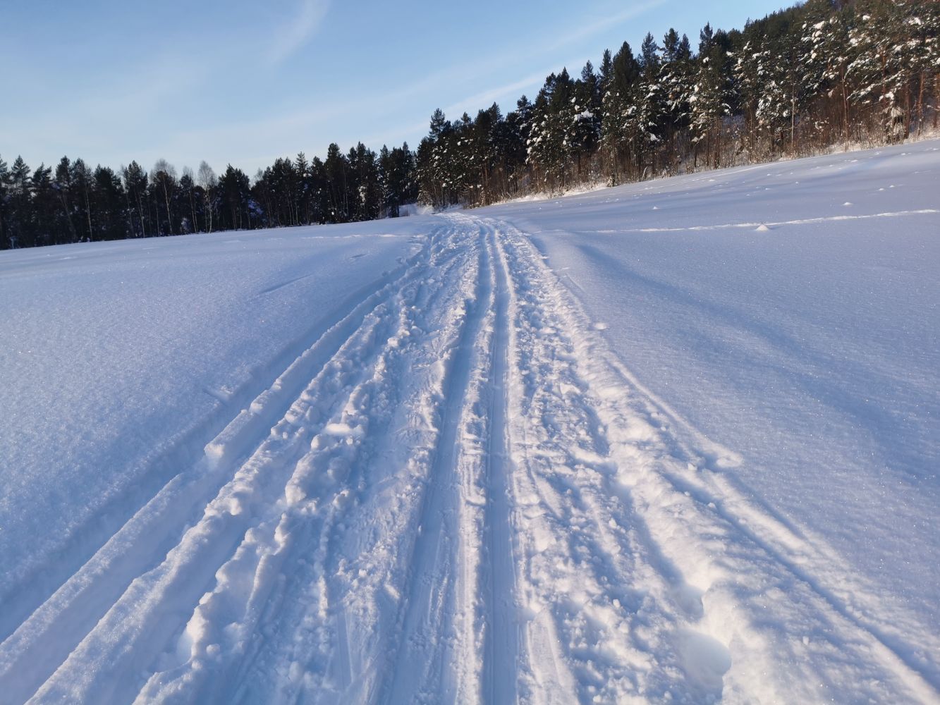
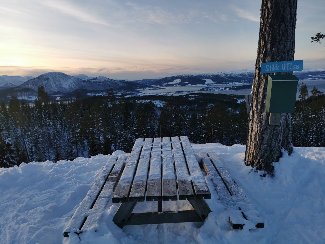
The ski trail to Øygardshalsen runs through relatively flat terrain and can be tackled by people of different fitness levels. The trail starts at the clubhouse of the Søya Sports Association (IL Søya) with skiing facilities in Vang and follows a network of prepared tracks. This is why this ski trip is perfect for people of all ages. The destination of this trail is the picnic bench and the trail postbox at Øygardshalsen with a scenic view.
Park your car next to the sports venue Vang Skiarena. Go to the illuminated ski trail on the left side of the road and follow it in the same direction as when driving. Follow the Stikk Ut signs all the way to Øygardshalsen.
Start driving from the junction at national road 670, over a kilometre from the Kvanne ferry terminal in the direction of Skei. Røvegen Road begins on the upper side of the road. The road towards the sports venue Vang Skiarena is signposted from here, and the distance there is under three kilometres. You can leave your car at the marked car park of the sports venue.
Duration
45 min.

Signage
Both signed and marked
| Surface type |
Distance |
| Preparert med tråkkemaskin |
3,4 |
The trail is signposted.
Please ski with a head torch in the evening!
 Driving directions
 Route data
GeoJSON
Route data
GeoJSON