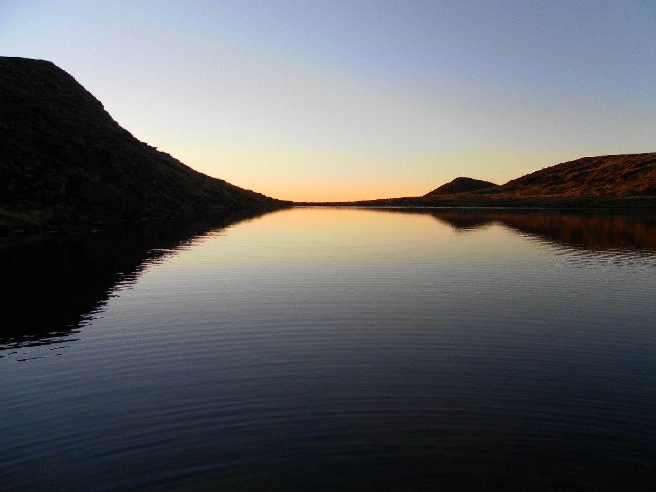
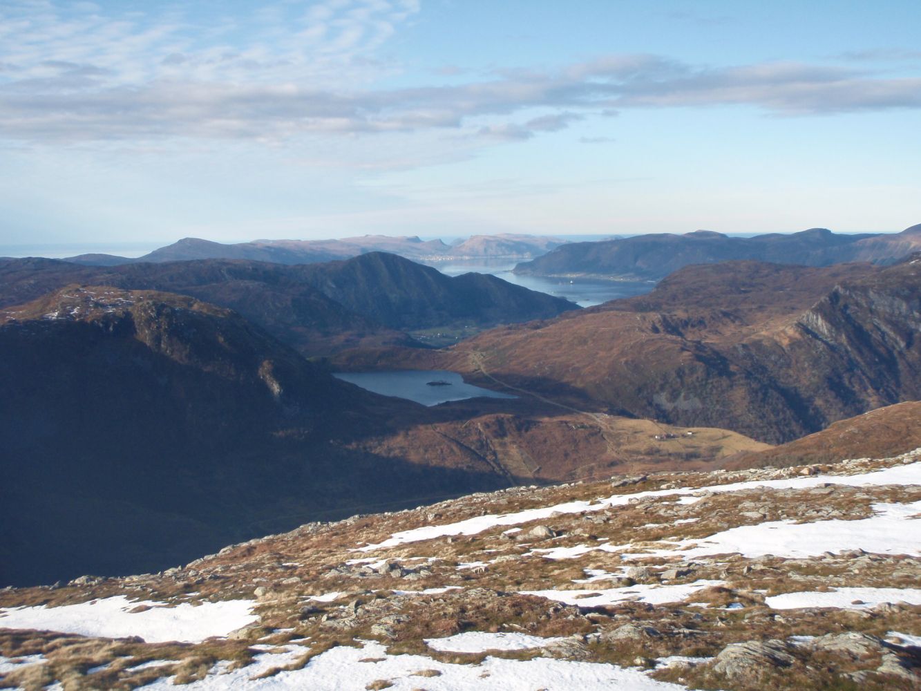
Nipa is one of the most accessible peaks with a view over the beautiful alpine landscape of Syvde. You will see the Stadlandet Peninsula and the outer parts of Nordfjord. The peak is also the perfect spot to watch the sun setting over the ocean on a summer night. There are many nice fishing lakes along the route.
The trail destination is Lake Slivatnet. From here, you can follow the gravel road to Almklov about 3 km or walk Route 55a (please see the hiking map) back to Øverberg.
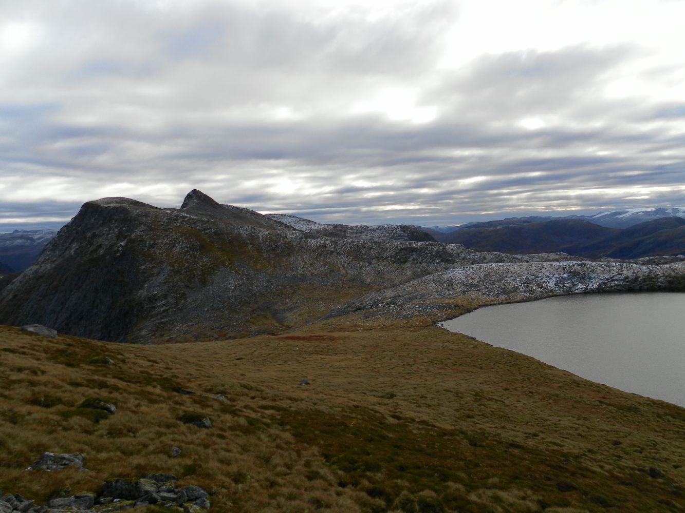
Start walking from the car park in Øverberg and cross the river over an old stone bridge. Continue south over flat terrain until you reach Moldstigane. Walk up the path along the stream. After about 500 metres along this path, turn off towards Nipa (east) at the junction. There is no clear path after that turn, so you should aim for Storeskaret (575 m a.s.l.) and a small pond at the foot of Nipa (N 62`01883 E 005`43492). Continue walking diagonally up in the direction of Ågotryggen and follow it until you reach the top of Nipa (see the photo). Ågotryggen is a fairly narrow mountain ridge that may require some climbing at the top, but you will have solid rock under your feet, so it should be no problem to walk there. From the top of Nipa, walk south over gentle terrain past Lake Nipevatn, between the two parts of Lake Ågotvatna, and down towards the Molddalen Valley until you come to the power line. Follow the power line west until you reach Lake Slivatnet.